Current Analysis
12-hr Forecast
24-hr Forecast
36-hr Forecast
48-hr Forecast
Day One Day 1 QPF [contours only]
Day Two Day 2 QPF [contours only]
Day Three Day 3 QPF [contours only]
Current Tropical Activity
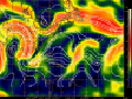
CIMSS Steering Layer
Current Vertical Shear
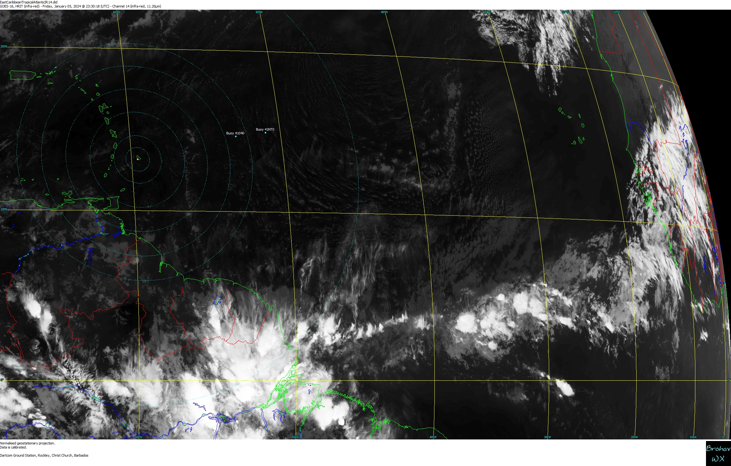
Atlantic Satellite Loop
Tropical Storm LorenzoWind Field/Models
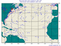
Marine WeatherObservation/Pressure
Tropics Bill Gray's Aug Report
Tropics NOAA 2010 Outlook


)
)