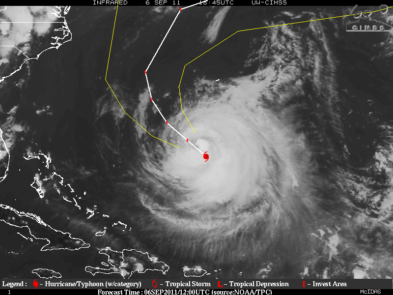
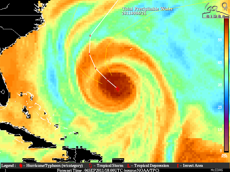
Hurricane Katia, which last night had been upgraded to Category Four Storm has lost some of it’s intensity and decreased organization and in now down to a Category Two hurricane. Katia may be in the process again of going through an Eyewall Replacement Cycle but shear and dry air to from the northwest and west may have gotten into the outer core. Katia seems be reaching much cooler waters in the western Atlantic thus further intensification is not indicated. The good news is that Katia is forecast to be on a track that is optimum where the center of Katia will pass between and Bermuda as it makes a sharp turn to the northeast later in the forecast. There is a very good consensus within the models as far as the track is concerned.
No matter there Katia’s track will be, those along the east coast and Bermuda beware of rip tides and large swells!!
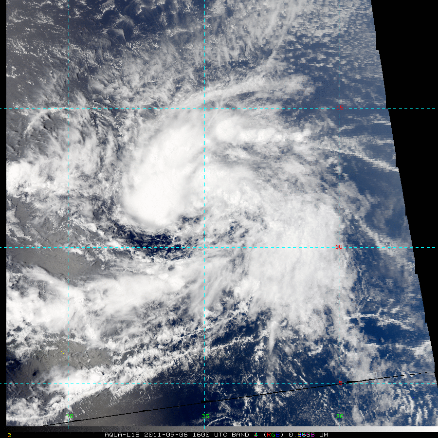
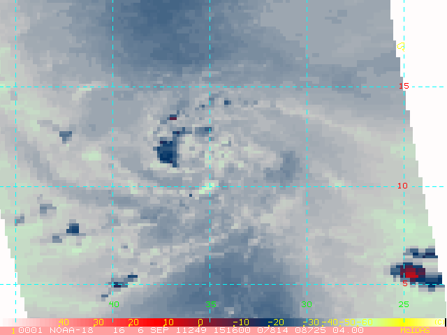
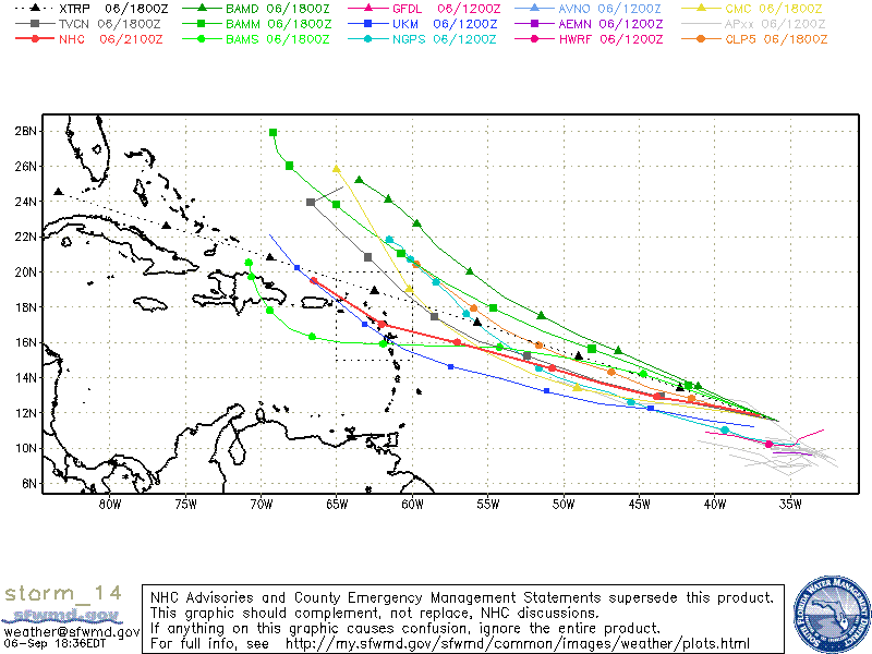
Invest 95L which continued to develop during the day has been upgraded to Tropical Depression Fourteen as of the 5PM advisory from the NHC. This no surprise as Tropical Depression Fourteen began to look very healthy and this is the peak of the hurricane season. Although the upper level winds are only marginal for TD 14 to develop, it is forecast to continue it’s development slowly. There is still a spread between the models as to the forecast track, but a WNW track should continue along with a decrease in it’s forward motion.
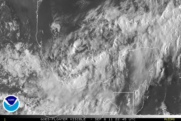
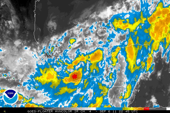
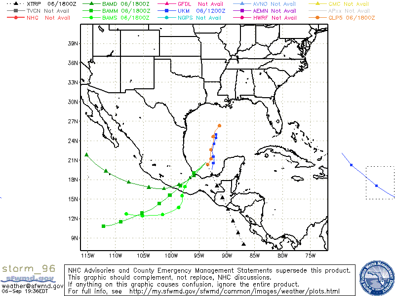
Invest 96L which was tagged late this afternoon is a system that was ready to start as that area has been near the monsoonal flow near the East Pacific. 96L is part of the energy left from the tail end of now remnants of Lee, now combining with the monsoonal flow. The MJO is in the upward motion in this area and 96L was forecasted to develop by some models. Most of the models at the moment want to take 96L into Mexico, which still may be the case but another possibility might be for it to be pulled up and head toward the Alabama/Florida Panhandle possibly as a tropical storm or low end category one hurricane.
