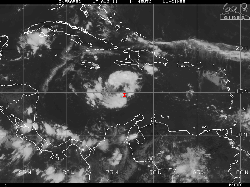
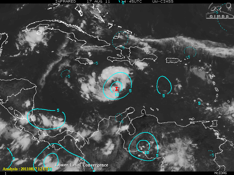
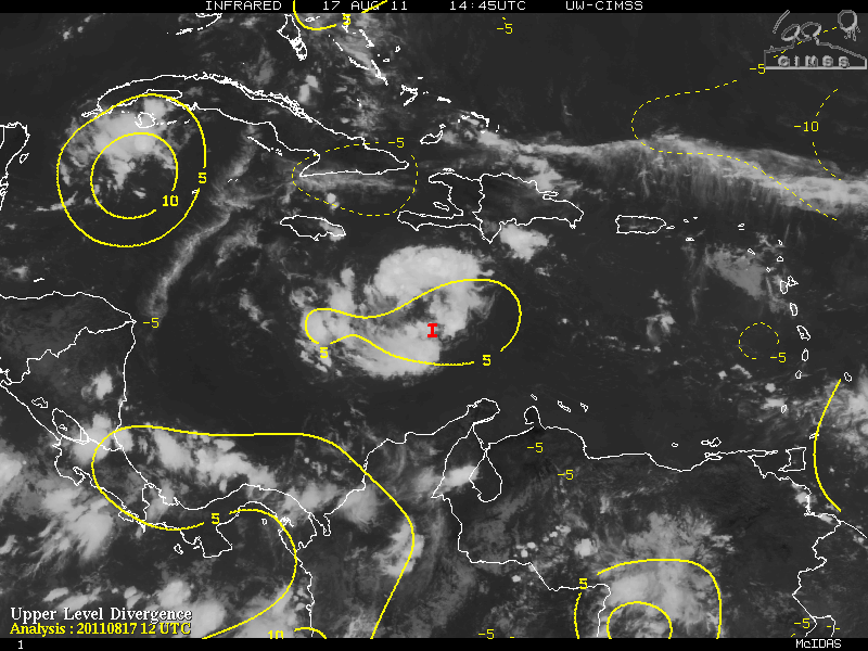
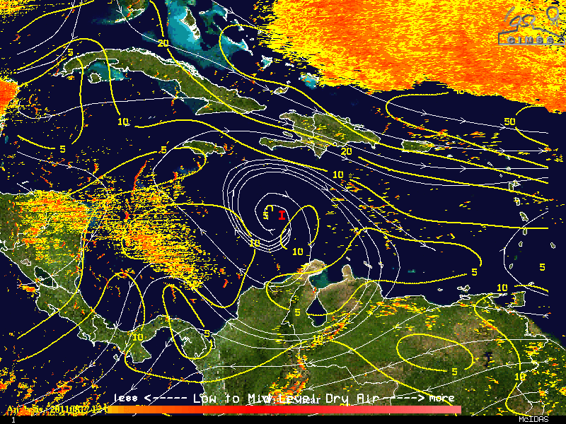
Invest 93L, the resilient tropical wave in the Caribbean, continue its westward motion it’s journey though the “Graveyard” where many storms either weaken or die. The trade winds in that area usually are much faster and especially weak storms are not able to develop roughly between 65°W to 75°W. Once again during the day today, 93L seemed to be developing somewhat albeit very slowly. From the CIMSS maps, there is an increase in the low level convergence (is where the flow over some area is moving inward toward that area) and there is also a marked increase of divergence (where the air at some particular level in the atmosphere over some area is moving outward or away from the area, on average). 93L also has a classic upper level anticyclonic high over it. During the latter portion of the day, 93L began to exhibit signs of cyclonic turning although very, very slowly – mostly in the mid to upper levels but there is no indication of low-level circulation.
Looking ahead, 93L will be dealing with dry air from the west. This will keep any development to a minimum for the next 24-36 hours or so. Shear in minimal so if 93L could get just get a low level circulation, conditions will be conducive for gradual development.
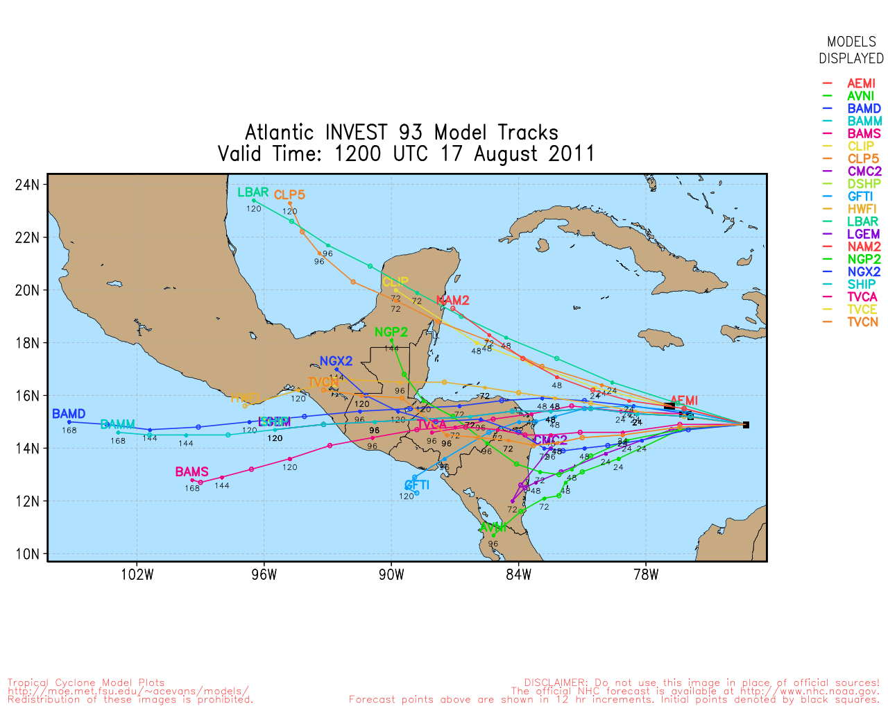
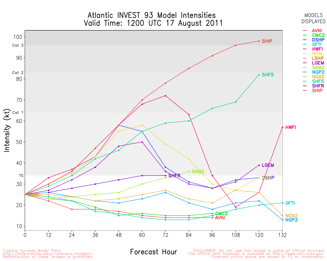
Tracking for 93L is pretty straight forward. Most models forecast that 93L will continue the westward motion toward Nicaragua/Honduras. If 93L were to develop into a very strong hurricane (which is not indicated), then a more poleward shift would result with a turn toward Belize. At this moment, model intensity keeps 93L below hurricane status or just minimal category one.
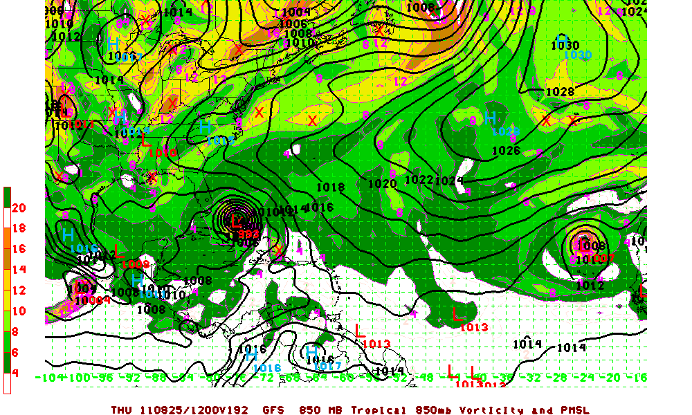
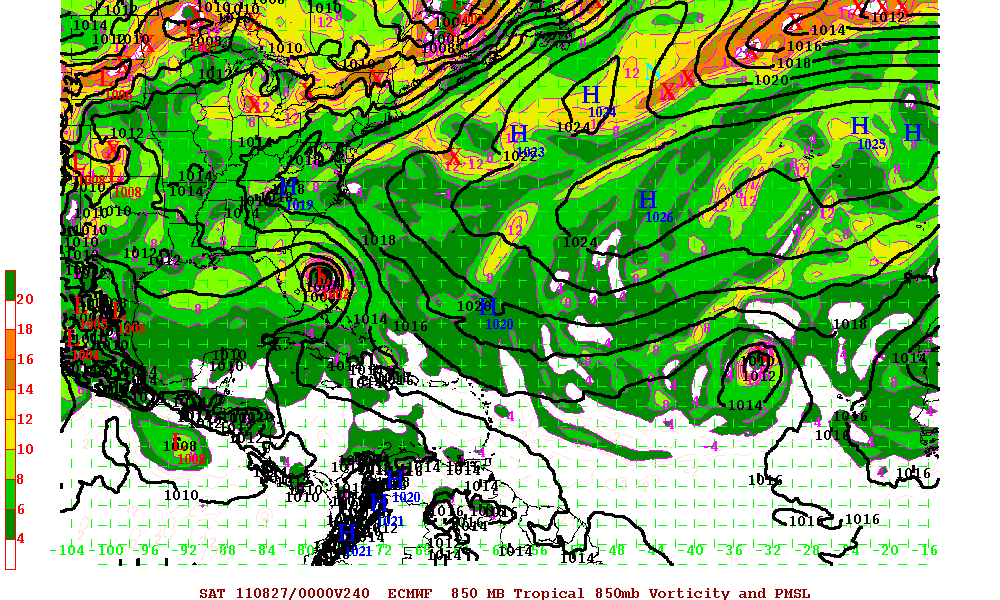
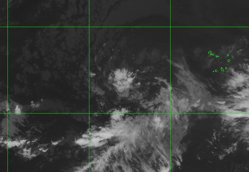
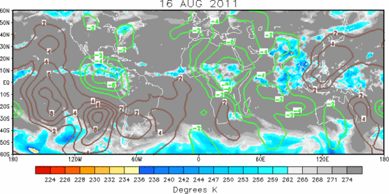
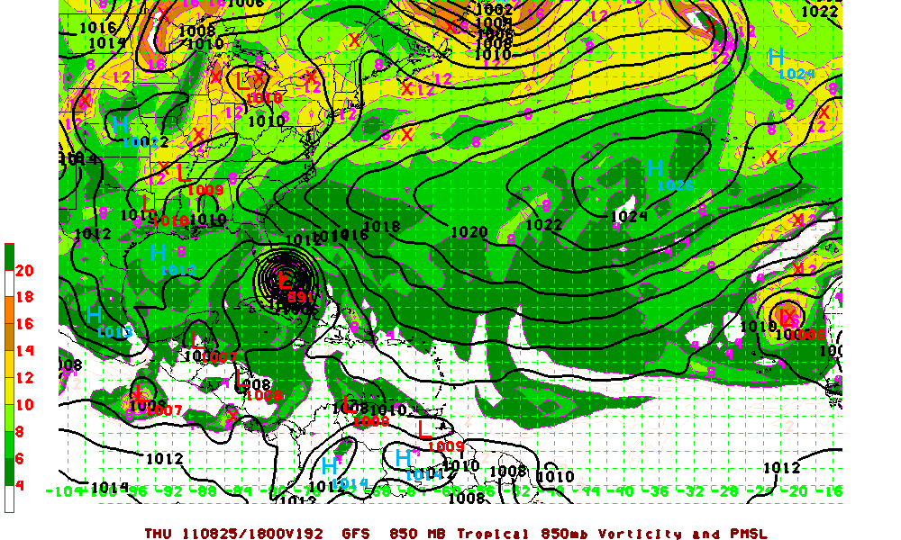
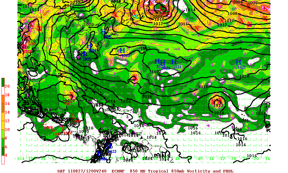
A large tropical wave southwest of the Cape Verde Islands is the next possible concern. Although it is surrounded by massive amounts of dust (SAL), as it gets closer to 55°W, two of the major models (GFS and ECMWF respectively) have it as a possible major hurricane north of the Leeward Islands with a very possible threat to Florida and also the Eastern seaboard. The ECMWF has been flipping during a few runs so we will have to see how things pan out in a few days. Just remember, these are LONG term models. It’s still way too early to panic but all those in affected areas should keep an eye on this system as it heads westward. If you have not begun to stock up of your hurricane supplies, now would be a great time to do so. The MJO for the next three weeks or so will be in a upward motion for the entire Atlantic basin. Upward motion has a tendency to allow for thunderstorm development. This is the time of year where development ramps up and the Atlantic basin is more active with tropical cyclones.
