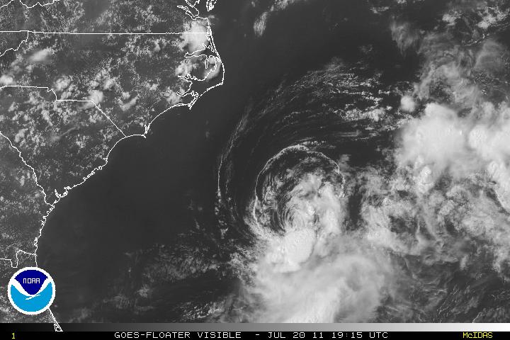
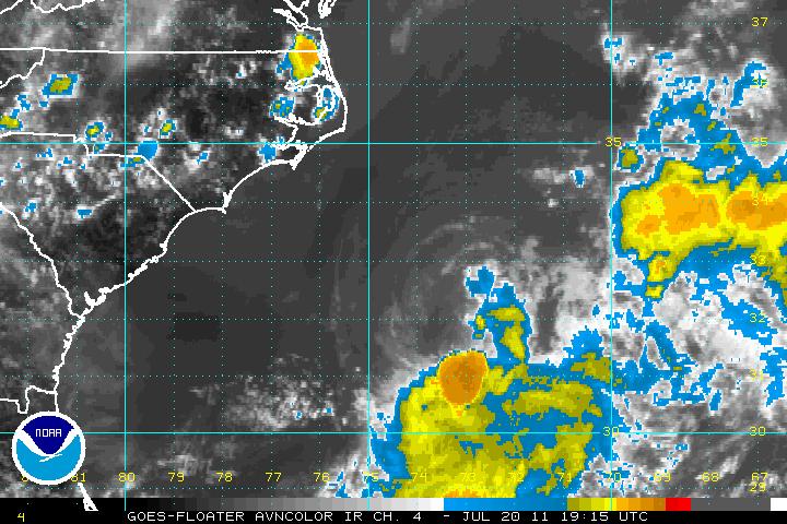
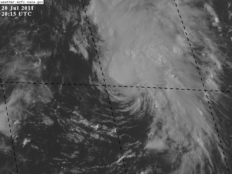
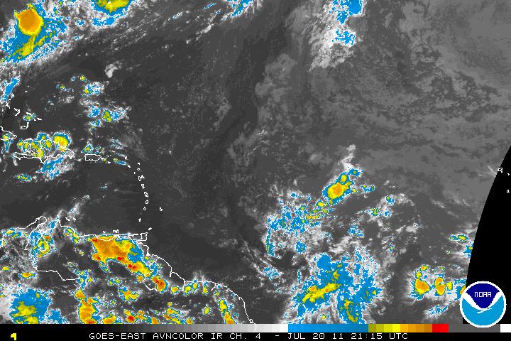
Tropical Storm Bret which at one time was close to attaining hurricane status but due to dry air entrainment along with vertical shear from the north of Bret, the storm has struggled to keep it’s identity. The southwesterly flow of a tropical ridge is expected to make Bret on a northeasterly track.
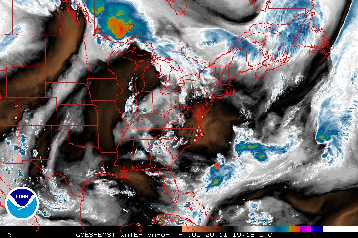
Furthermore, there is a large area of dry air along with subsidence in the middle Atlantic states. This mixture should introduce dissipation of Bret within two or three days, if not sooner, as that dry air heads southeastward toward Bret.
Invest 99L is a low pressure system about 565 miles ENE of Bermuda and has been getting better defined during the day and was updated as Tropical Storm Cindy as of 5PM Advisory from the NHC. Tropical Storm Cindy is in some warm SST’s and may continue to strengthen for a day or so. After that it will be cooler waters which will allow Cindy’s transition to an extratropical storm.
A large tropical wave east of the Windward Islands may be our next Invest in the next couple days. This wave does have some cyclonic turning but at the moment, convection is limited. Only the Euro (ECMWF) model is seeming to pick this system up. Whether or not any other models jump on board or if this tropical wave will develop, remains to be seen.
