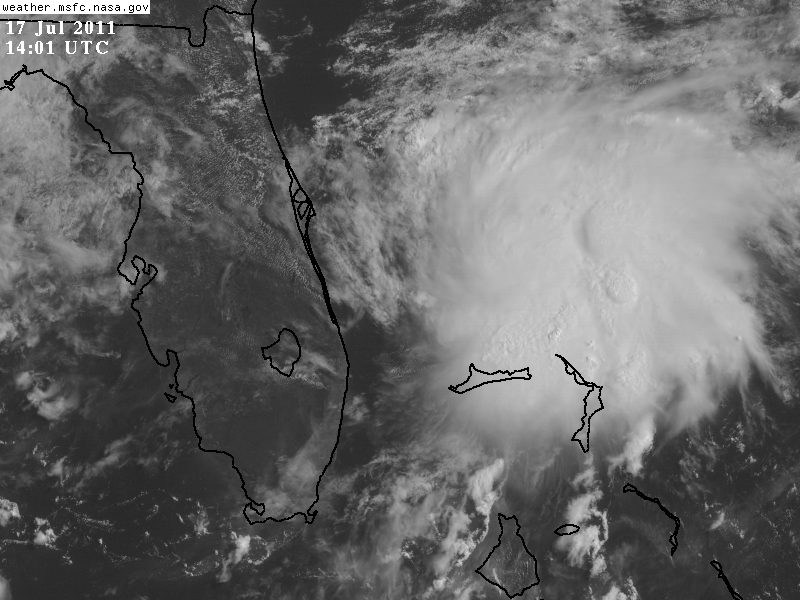
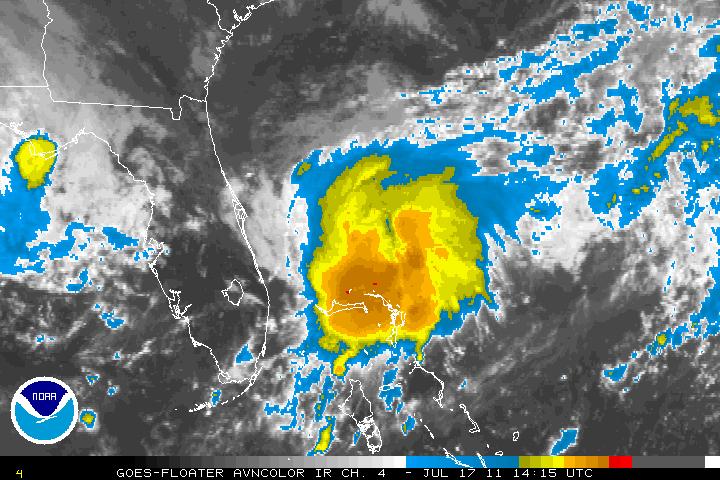
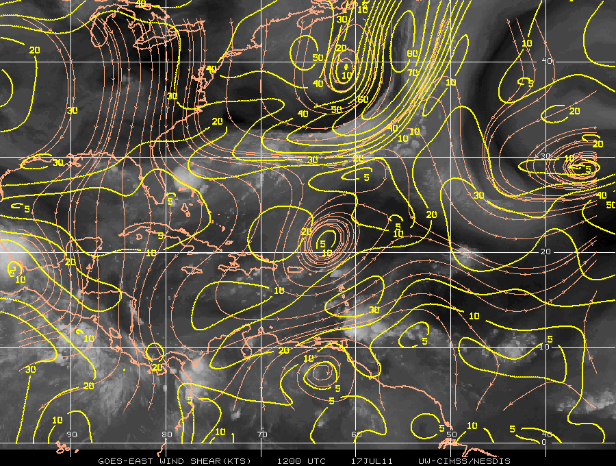
A couple days ago a few models were hinting that a weak surface trough may detach itself from the frontal boundary. Yesterday afternoon, Invest 98L was initiated as thunderstorm activity had become better organized. Upper level winds are are slowly diminishing and this may allow for a more conducive environment for possible better organization of this system. The synoptic pattern should keep it drifting slowly southward for the next 48 hours or so.
Some cyclonic turning is presented by satellite. At the moment the surface pressures are still too a bit to high. Mid-level shear from the NW is also hindering any development but this will be relaxing. Model guidance, at least for right now is not showing cyclonic development, but this is due to the resolution for these models. Recon will be flying into this system later today and when we get a fix from recon and models will be initialized for the 00z (zulu time) run which might clear up the uncertainty.
If the convection can tuck under the LLC (Low Level Circulation) along with Invest 98L heading southward a possible tropical depression may develop within the next couple days or even hours. The track for this system is a bit difficult as it doesn’t have a LLC yet. Being that the system is close to the coast of Florida, all interest should keep tabs on this system.
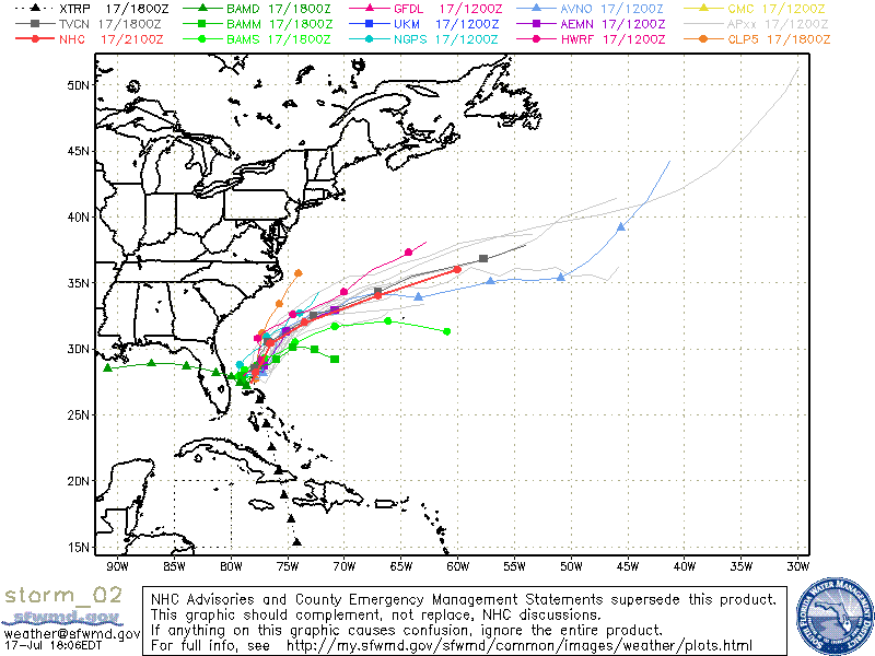
UPDATE: As of the 5PM advisory, Invest 98L has now been upgraded to Tropical Depression Two. The system was found to have a LLC but a lot of the convection has diminished. Dry air to the north of the system should keep the system from developing into a hurricane. Most of the models guidance in now in agreement that TD Two will continue to drift southward in the short term but a weakness in the sub-tropical ridge will allow a northern turn and eventually a northeasterly track. The LGEM model (intensity) suggests that TD Two will develop further into a Tropical Storm but holds limits it to just a Tropical Storm but not a hurricane.
UPDATE: As of the 8PM advisory, TD Two has been upgraded to Tropical Storm Bret and the satellite images have been updated to reflect the change. Convection has been consolidated near the LLC. Maximum winds have increased to 40 MPH and strengthening is forecast.


