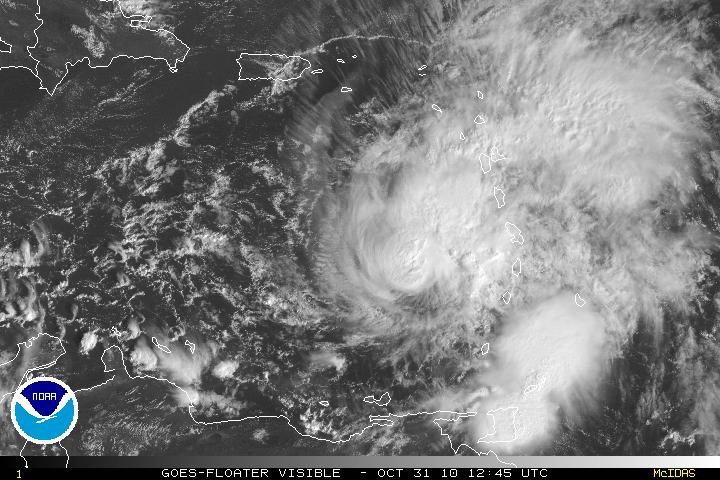
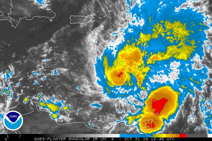
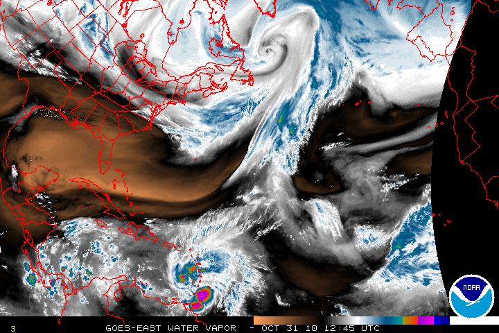
Hurricane Tomas in the early morning hours was found to have winds of 100MPH and Tomas is now a category 2 hurricane. With data from the reconnaissance plane and satellite imagery, Tomas is better organized but it was noted that the vertical stack of the storm is tilted northeastward with height. The tilting is probably due to the Southwesterly shear that is beginning to impact Hurricane Tomas. The shear has been forecast and further intensification will stop for about 48- 72 hours. There is the possibility Tomas may lose some strength during that forecast period. After that period, the shear will relax and further strengthening is forecast. Intensity guidance in at least the LGEM model does have Tomas strengthening and possibly be a major hurricane of at least a category 3 storm.
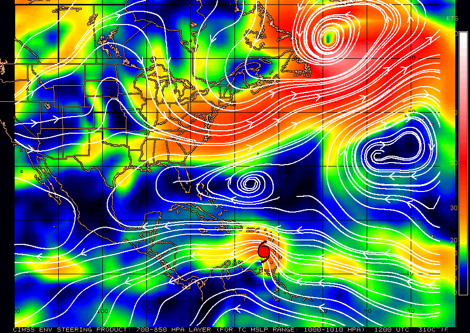
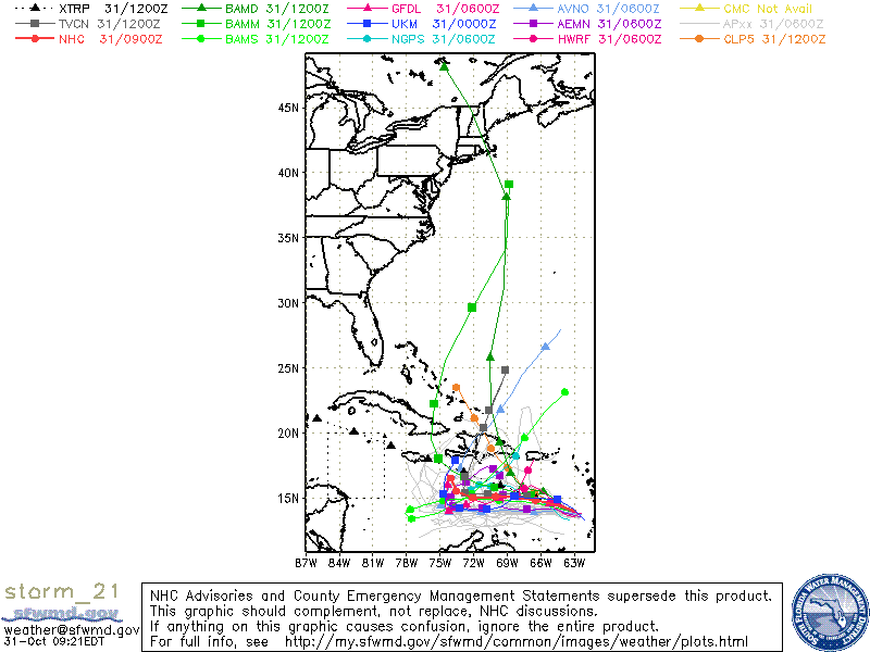
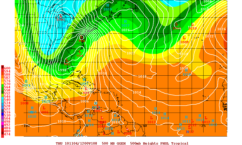
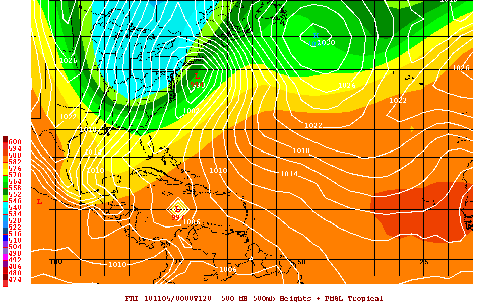
Hurricane Tomas is currently located south of a mid-level trough that is over the southwestern Atlantic. As this trough continues to move eastward a mid level ridge will build just north of Tomas and this will turn Tomas on a westward track for the next 2 or 3 days. Later in the forecast period, that ridge breaks down as a very large deep layer trough moves into the eastern U.S. and also digs southward. This will slow the forward speed of Tomas and also allow Tomas to gain latitude. Model guidance at days 4 and 5 is poor as far as the timing and the the sharpness of the turn to the north but there is a consensus that there will be the northern turn as Tomas will be forced north by the trough.
