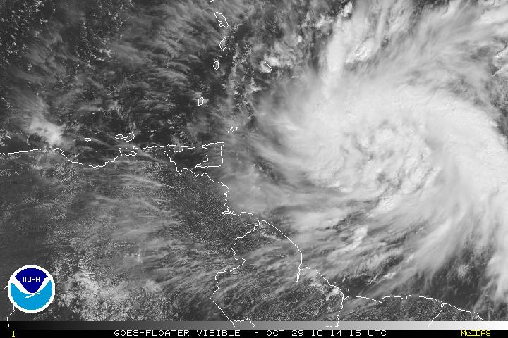
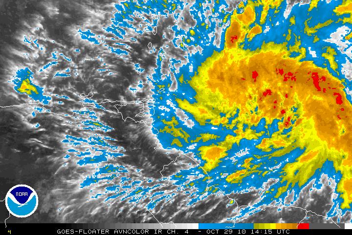
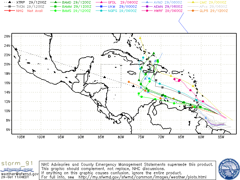
Invest 91L located about 350 miles East – Southeast of the southern Windward Islands has been slowly getting better organized and is forecast to become a Tropical Depression or Tropical Storm in the next day or two. The overall environment and conditions are conducive for continuing development as the system heads W-WNW. A reconnaissance flight is scheduled later today (2pm). Most models are forecasting that Invest 91L will eventually turn N or NNE but the timing between the models makes things a little unclear. The latest models have it tracking between eastern Cuba and Hispaniola as a frontal system picks it up in a few days. Until we have the data from recon I would not begin to estimate what intensity will be.


