The tropics are now heating up and becoming active.
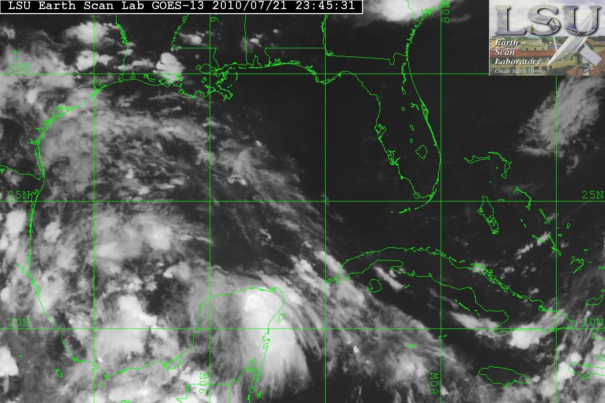
An area in the BOC(Bay of Campeche) has become designated as Invest 98L. The satellite image does show an organizing system with very large amounts of convection along with an anticyclone over it. This also has SST’s of 28° Celcius and the anticyclone it is providing a very good outflow. 98L may have the potential to become Tropical Storm Bonnie. Invest 97L is not as organized as 98L due to moderate amounts of shear and dry air. 98L is currently heading NW-WNW and possibly inland within 72 hours.


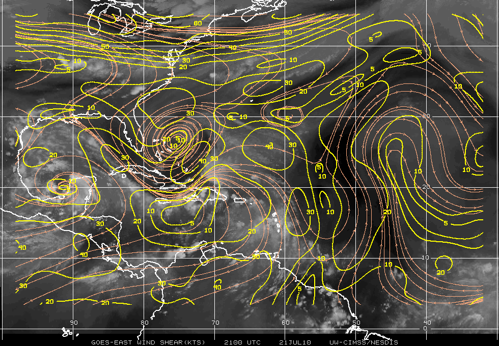
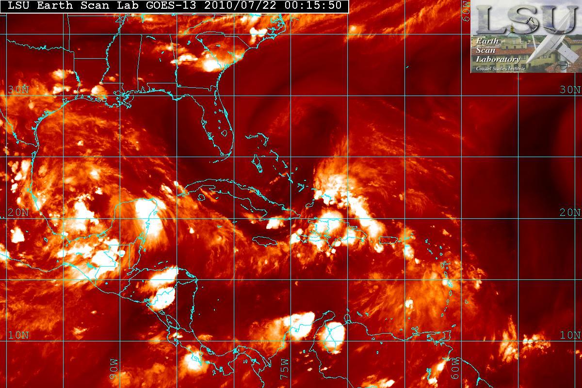
As mentioned – 97L is having problems trying to organize. The data from the NOAA Gulfstream IV jet took samples of the enviroment around 97L and it indicated that the upper-level winds were not conducive for development at least for the moment. The enviroment will probably be changing and within 24-36 hours shear may relax as the upper level low to the north west will be retrograding to the west allowing for a better chance for 97L to develop. In fact, during the day today 97L looked like it was trying to develop a LLC(Low Level Circulation) but all the convection to the right side of the “LLC” was being sheared. The quadrants to the the south and west had no convection due to the dry air and shear. Dry air in the image below is the darker area.

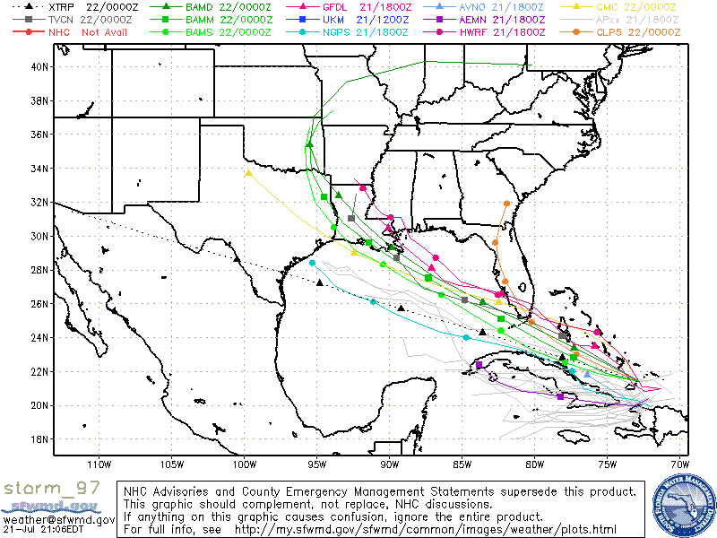
Models seem to indicate that 97L will probably in the South Florida area, at least as Tropical Depression or posssibly as a Tropical Storm. Hurricane development is not indicated at this time.
