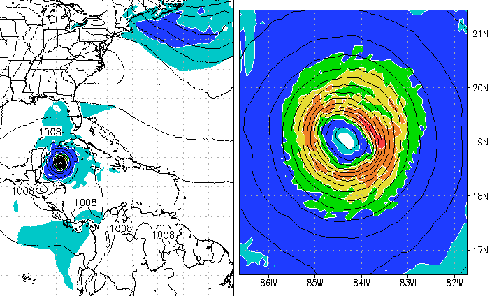
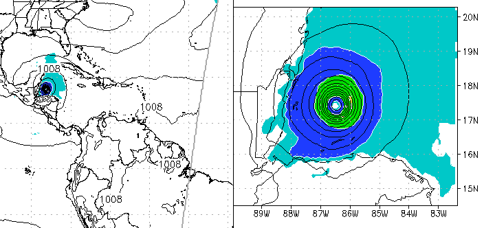
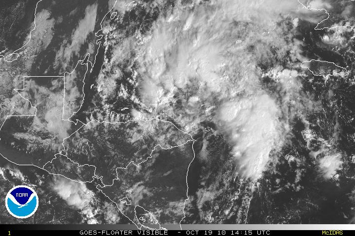
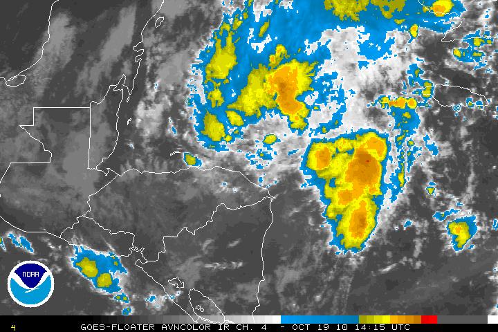
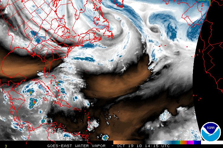
Invest 99L which has been lingering around the Southwestern Caribbean is finally beginning to move away from the coasts of Nicaragua & Honduras. With landfall interaction, it was impossible for 99L to even try to develop. Now that it has been been heading N or NNW it has a much better chance of developing. This is the time of the year where the models have problems and this may be the case with 99L. Many of the models at this time are not seeing any type development but the GFDL and HWRF does favor development. Whether 99L will be a Florida threat or not is a forecast that is so very difficult to answer, at least for the next few days. Hopefully, with a few hours or so we may have a better idea of what might happen as the reconnaissance flight is on it’s way. Just looking at the satellite presentation, it does look like there is circulation at the mid and upper levels but not yet at the surface. I am sure this is what recon will find.
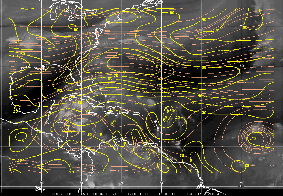
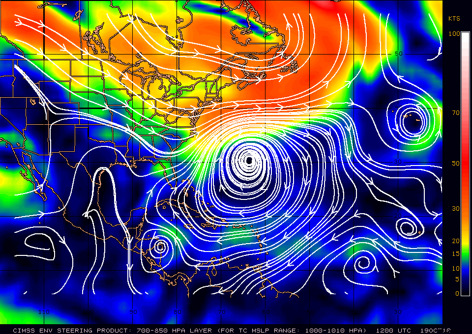
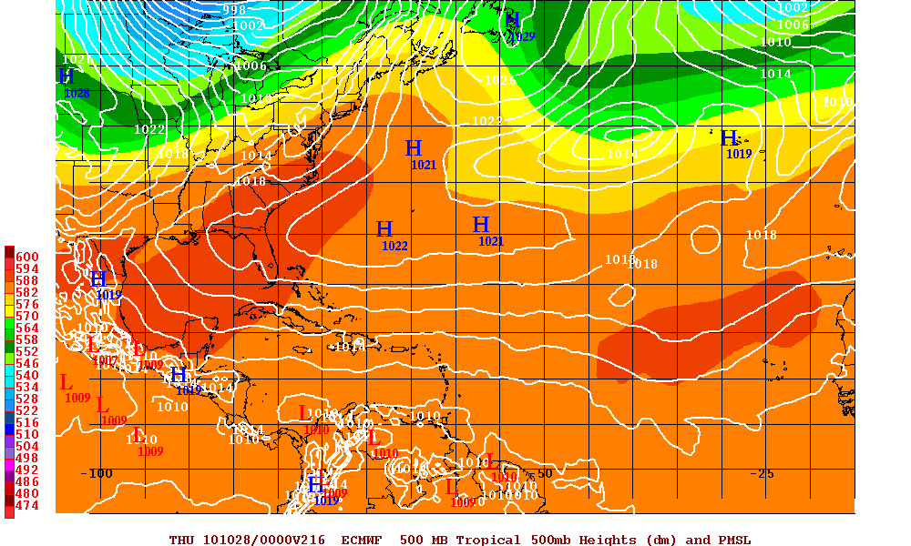
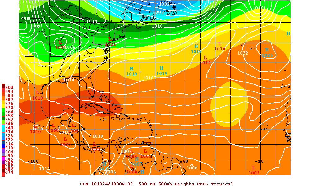
Below are the two models GFDL & HWRF which develop 99L into a hurricane. Only if shear abates, the high pressure system that will build after the trough has gone through and the high heads east and 99L lingers into the Southern Gulf of Mexico, then the chances for 99L to head to Florida as a tropical cyclone may increase but I doubt this will happen as there a just too many variables that have to work in unison.
