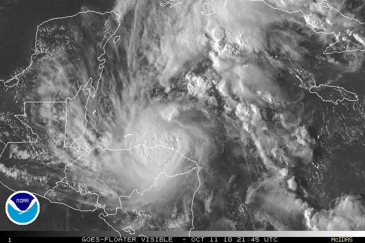
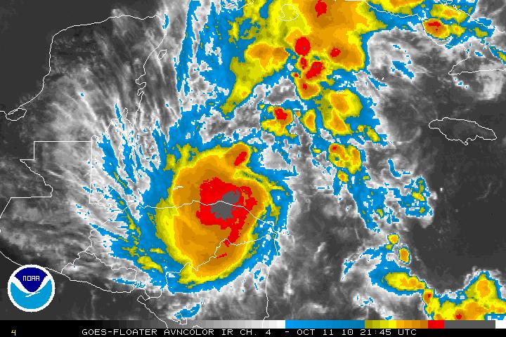
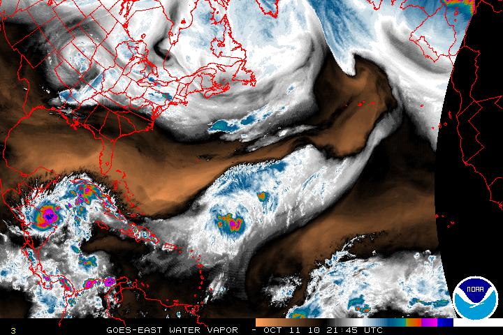
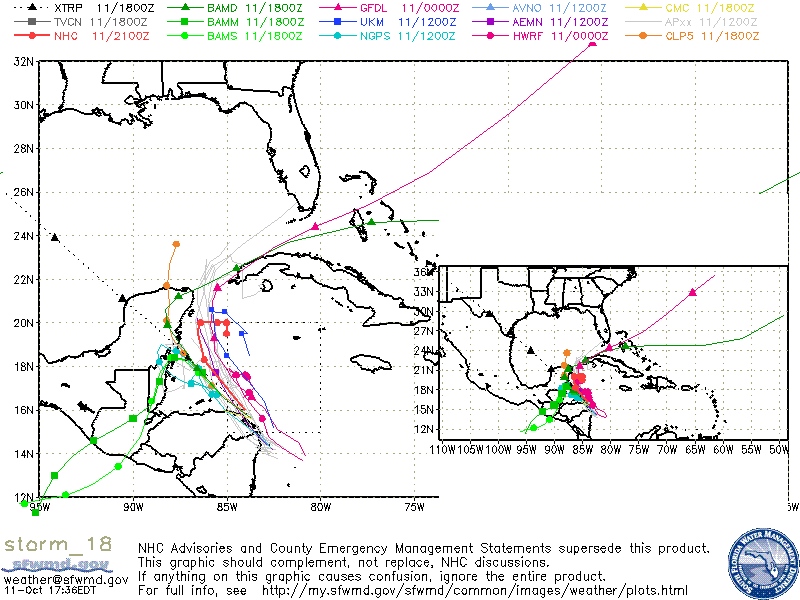
Invest 98L has been upgraded to Tropical Storm Paula as of the 5PM advisory from the NHC. Recon earlier today found winds of 60 MPH, but that might be a little conservative. The forecast is for Tropical Storm Paula for additional strengthening and Paula is forecast to possibly become a hurricane within 24 hours according to the models SHIPS, and LGEM. Strengthening will only be possible for a few days, then slow weakening on days 4 or 5. For the next few days the track for Paula will be NW then N. The western edge of a ridge that extends across northern Caribbean is expected to weaken because of a deep-layered trough that will be moving eastward across the Southeastern US. After that forecast period most of the guidance is suggesting that the trough will move east and then leave Paula in an area of weak steering currents and Paula is expected to drift eastward for for a day or two then possibly drift southward. Model guidance after day 3 or 4 and confidence is quite low. Whether Paula will stay in the Western Caribbean and impact Nicaragua or head north and northeast unfortunately it is too difficult to forecast.


