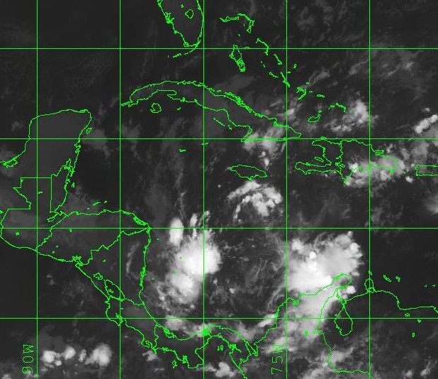
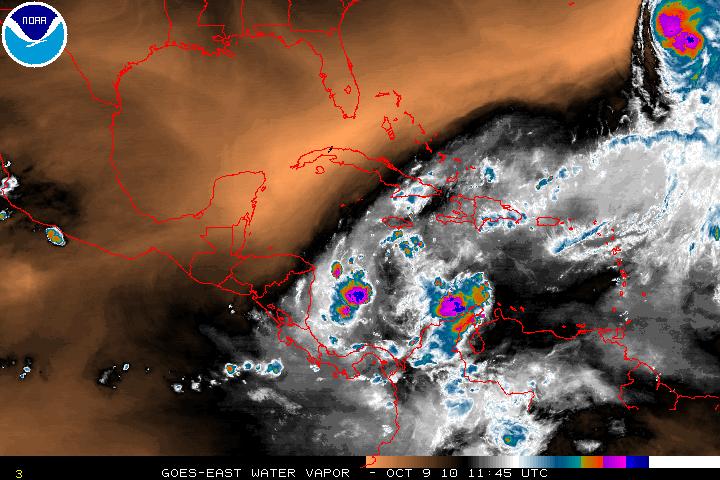
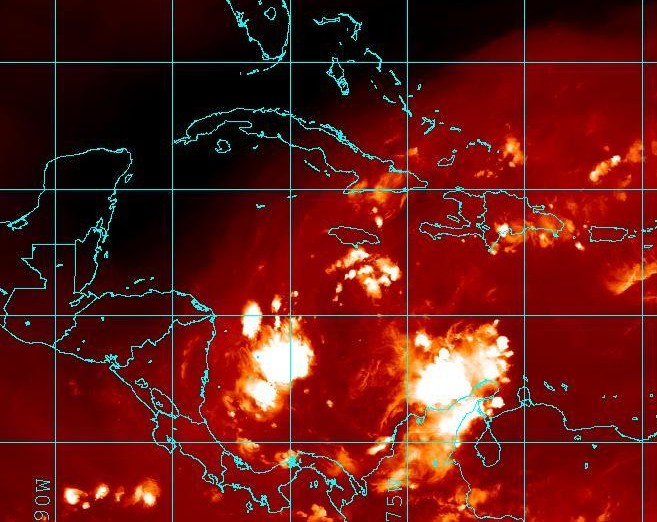
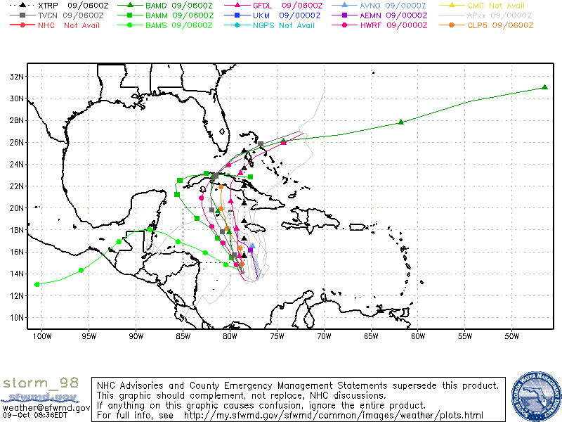
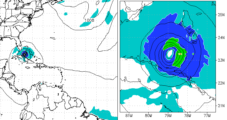
The system in the Western Caribbean has now been designated as Invest 98L. A few of the models want to take the system North and then turn NE over Cuba. The GFDL and HWRF want to let this system spin up into a tropical storm and hurricane. Although, at the time this cannot be discounted, most of the other models want to keep the system in the Caribbean. There is some cyclonic turning but convection has not been sustained over several hours. There is a very large area of dry air to the North, Northwest, and West of Invest 98L (as shown in the Water Vapor image below).
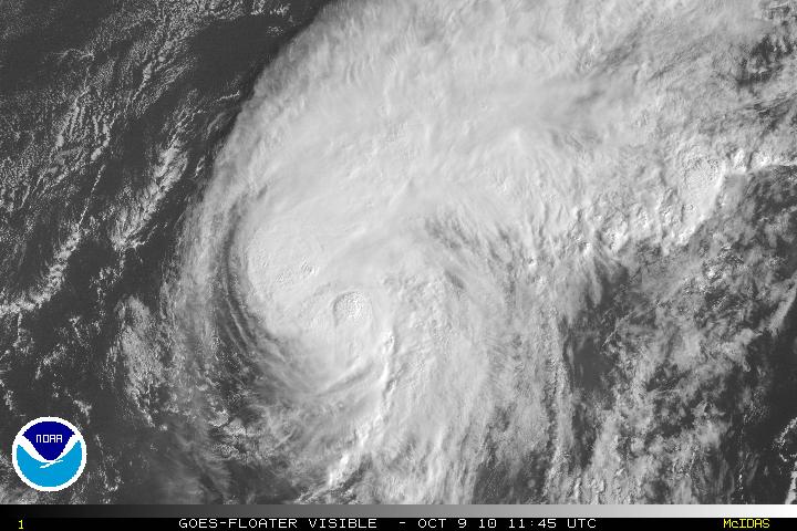
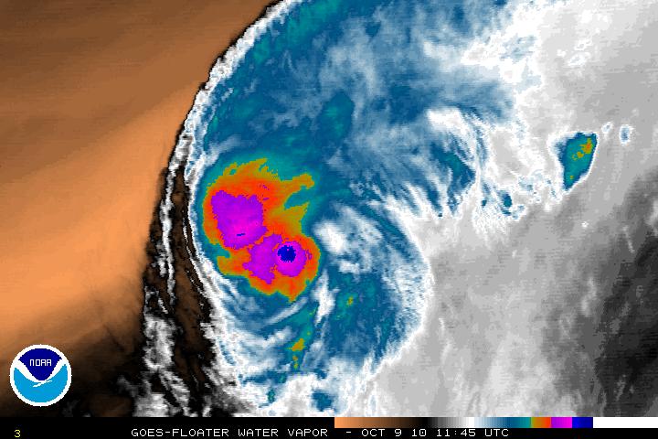
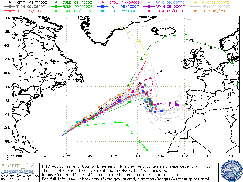
Hurricane Otto, still classified as a tropical cyclone with top winds of 85MPH will soon start the transition from tropical to extra tropical but gradually. Otto is between a large deep-layer trough of the coast of the US and a subtropical ridge over the Eastern Atlantic.
