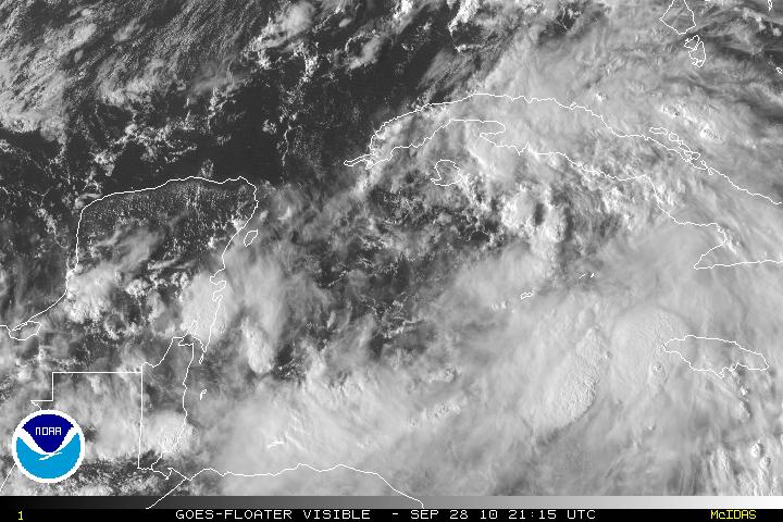
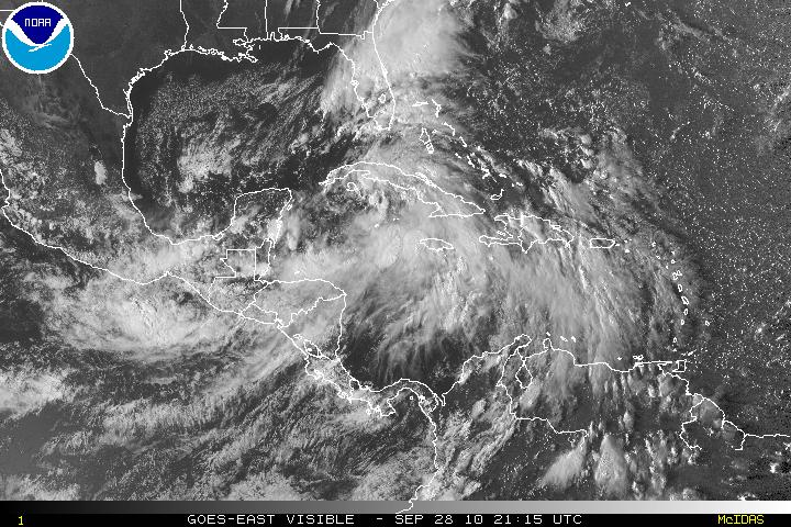
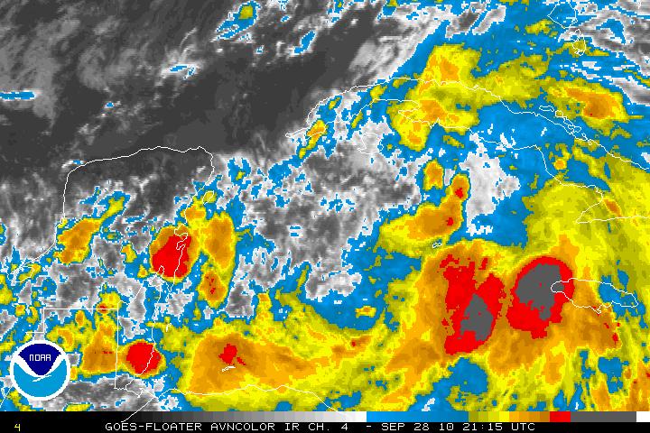
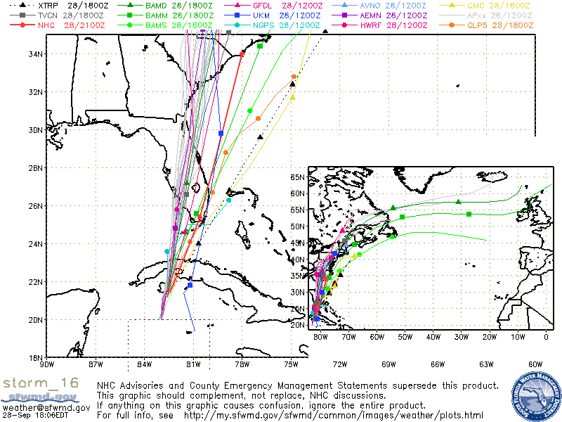
After the Hurricane Hunter recon plane went through TD Sixteen, it was found that the LLC was very broad with light winds of 20 knots or so (about 23 MPH) and the pressure was uniform over a long range. A normal system would have lower pressure within the center. Definitely not a typical cyclone. The forecast is that TD Sixteen may become a Tropical Storm either tonight or tomorrow. After 36 hours or so, the window will be closed for any further intensification as a large mid – to upper level trough that is digging down the southeastern US coast will keep intensification down. Some models are forecasting that TD Sixteen will become extratropical within 36-48 hours. The track of TD Sixteen has been shifted slightly to the west. UNLESS the structure of TD Sixteen improves and starts to tighten up, most of the strongest winds and rain will be east of the center and will be offshore away from the coast of Florida.


