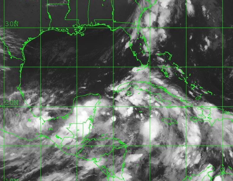
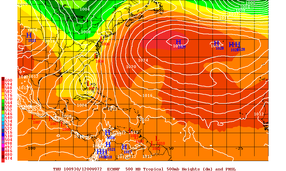
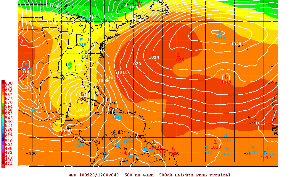
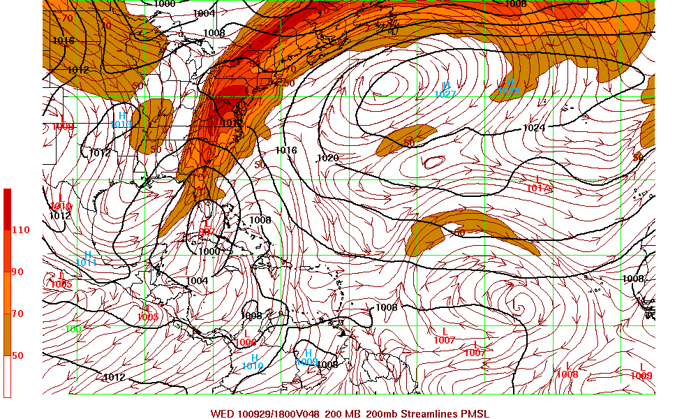
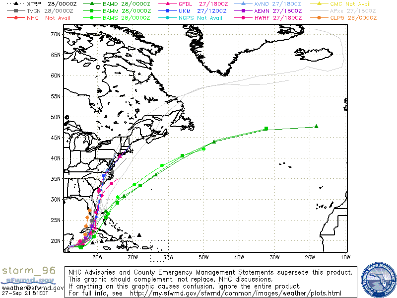
During the day today Invest 96L had been designated. This is the system from the monsoonal low that is starting to get together as we speak. This system at the moment is off the coast of Belize with pressures dropping. Cyclonic turning is beginning to slowly wrap up, but at the moment there is no LLC. Most models believe this will head north across Cuba and into South Florida. Until there is an actual LLC, it will be very difficult to give any accurate estimate of rain and wind. Will this be a tropical system or will this be a subtropic system. A lot of questions yet very hard to answer. The one problems is that there is a not a lot of time to prepare if this will be a Tropical storm or hurricane. Therefore, all those in middle to south Florida and also those along the East coast of the U.S. should monitor this system even if it ends up just being a rain event.
The advancing front that is headed toward Florida will have some dry air along with some shear will this be a major factor – it all depends on the timing and the structure of Invest 96L. There is also a possibility that a second storm later in the week that might actually be stronger than 96L. Will this affect Florida or will shift east and go over the Bahamas. Again, a lot of questions with few answers.
