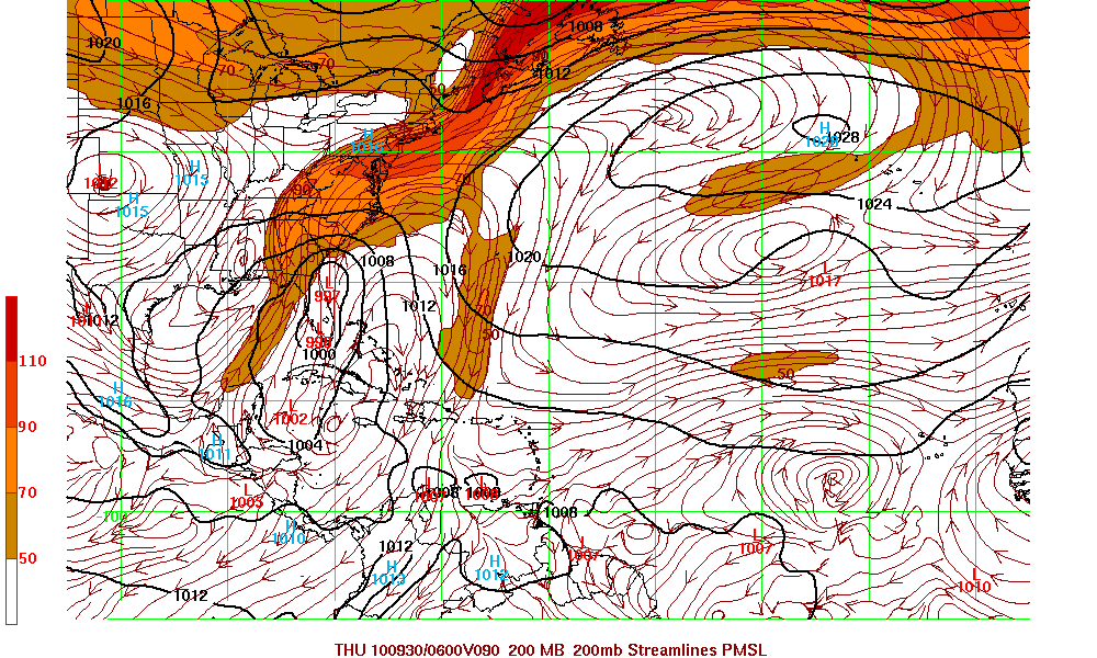
Tropical Depression Matthew has been downgraded to a remnant low. Although Matthew has been downgraded  and is just a low pressure system, Matthew along with a very large cyclonic gyre will continue to bring large amount of rain in Eastern Mexico and Central America.  The remains of Matthew is forecast to turn clockwise and either  be embedded into the gyre or dissipate. This monsoonal low is forecast to form somewhere in the western Caribbean and possibly head north to Jamaica, Cuba and Florida. With respect of the intensity if and when the new system forms is still unclear. Since the forecast is somewhat cloudy, all those in the Gulf States, Cuba, Jamaica, Florida, and the East coast of the U.S. need to keep and eye of this system. I will update this blog later today with some of the latest model runs.
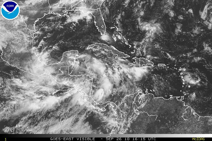

ADDENDUM:
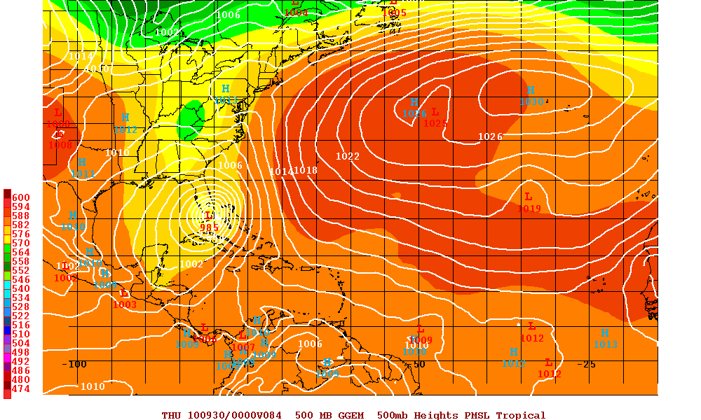
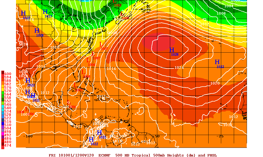
Below are three different model runs. Until forecasters can see where any storm may form – the model runs are just that – models. I have to discount the GFS run as it won’t to create two or three different tropical storms each running north over Cuba and then into south Florida but I am including it.
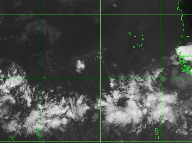
Pre-invest PGI48L is a new system in the Atlantic at roughly 12N – 34W. This is a system that has potential and may develop in in the next 3-5 days.
