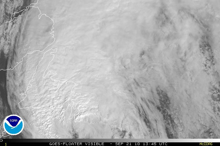
Hurricane Igor after battering Bermuda with category one hurricane winds has left and now is expected to pass by southeastern NewFoundland. Igor is expected to to become extratropical within 24 hours.
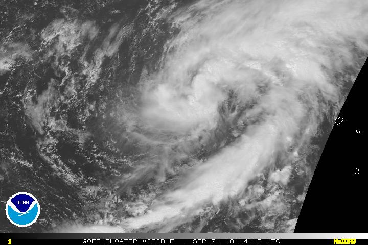
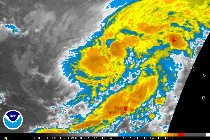
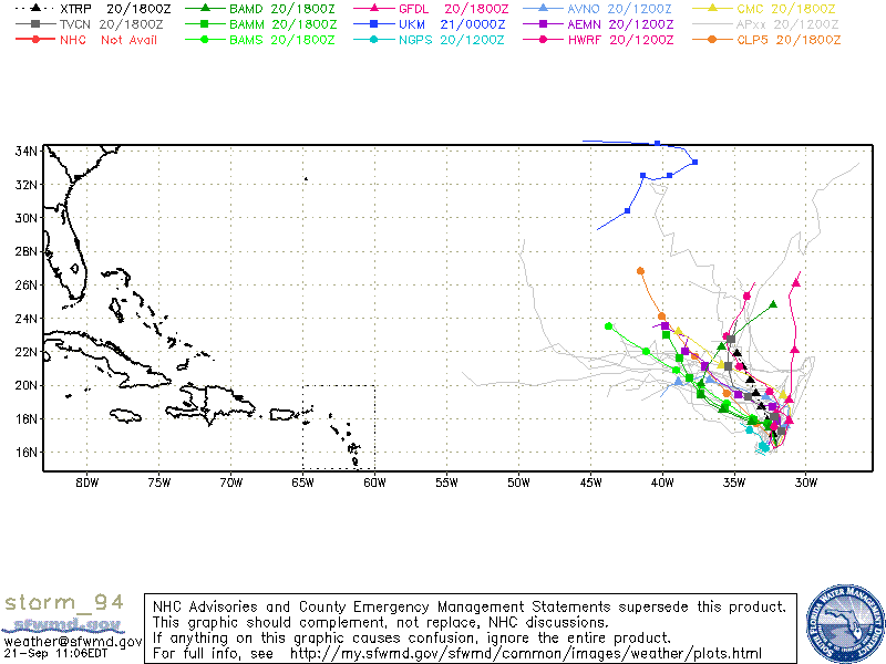
What was Tropical Depression Fourteen has been upgraded to Tropical Storm Lisa as of the 5:00am Advisory this morning by the NHC. Tropical Storm Lisa is headed directly north, but the motion now is in a weak steering current and in 24 hours Lisa will be begin to turn more NW due to a subtropical ridge from the north which will be building in. There is some disagreement within the models as to whether or not Lisa will be turned to the west because of the ridge amplifying or will there be a break in the ridge later on on the forecast period. The vertical shear will be very low for the next 48-72 hours so Lisa will have a chance to strengthen some but the mid level moisture envelope will be drying out and along with some cooler SST’s – strengthening will be limited.
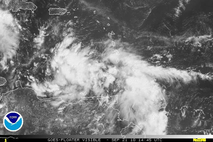
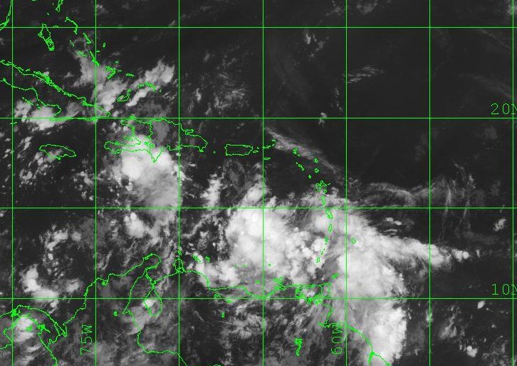
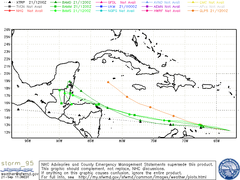
PGI46L has now been designated as Invest 95L. For the next 24-36 hours, there is the possibility of some dry air wrapping into the system along with some northerly shear. This will limit some development. Beyond the forecast period, the environment will be conducive for development and most models want to keep 95L on a WNW path and eventually having landfall near Nicaragua but a possibility of of a more NW – to NNW and into Cuba/South Florida exists. Therefore, this system does need to be monitored carefully.
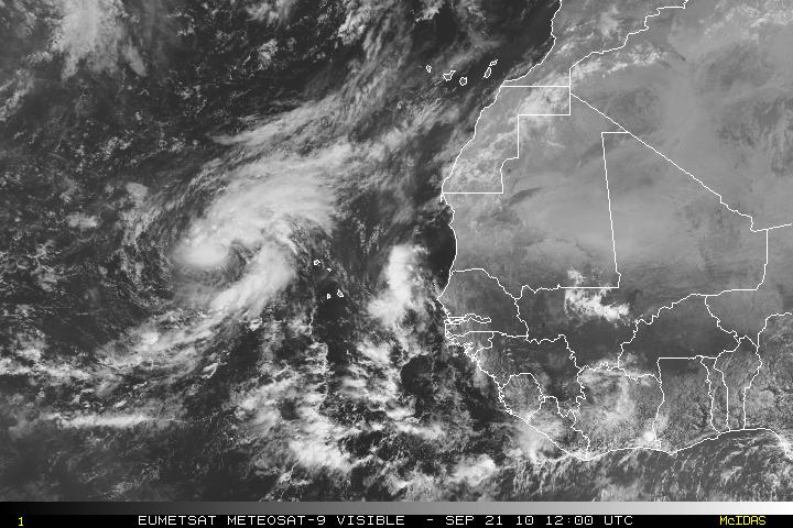
PGI47L which is just off the African coast will probably not be threat in any way and most models believe this sytem will dissipate.
