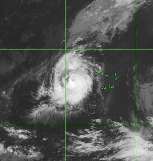
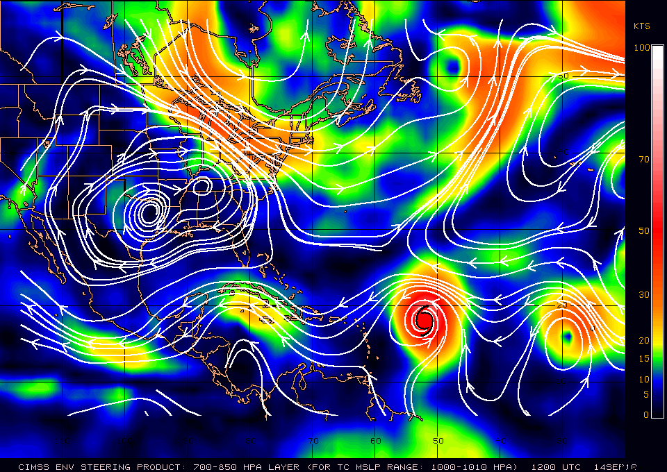
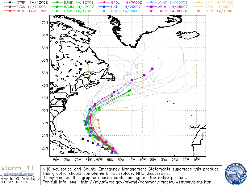
Tropical Storm Julia had been upgraded to Hurricane Julia as of the 5:00am advisory. Julia is in an area with decent SST’s which will allow for some possible further intensification for at least another day or two. After that period, and even though Julia will still be in warm waters, Julia will be feeling the North to Northeasterly shear basically the outflow from Hurricane Igor. Julia is forecast to make a NW heading due to a mid to upper level trough for 24-48 hours, then a sub tropical ridge will cause Julia to return back on a WNW heading for a few days. Beyond that forecast, the models are in agreement on Julia turning NW then NNW as Julia will be along the Western periphery of at previously discussed ridge.
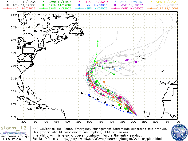
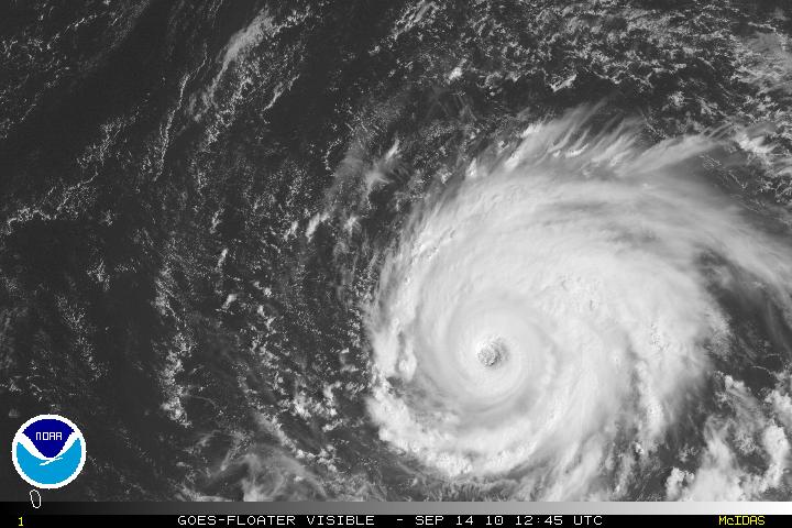
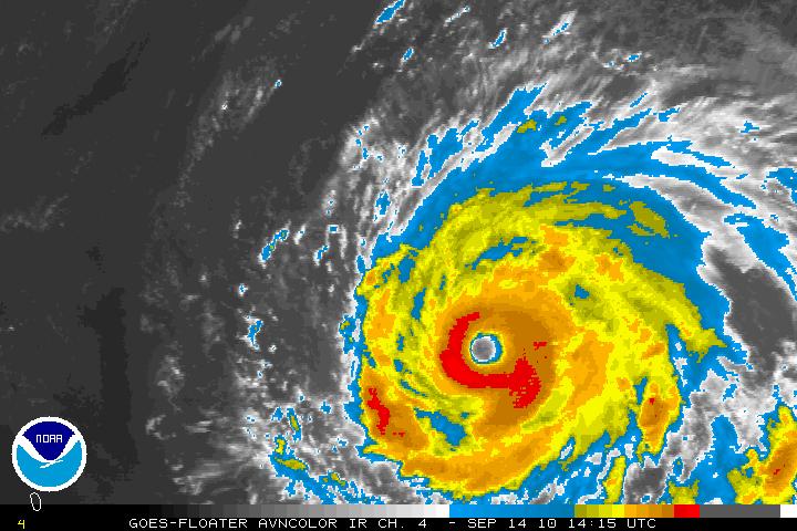
Dangerous Hurricane Igor has finally started to turn toward WNW then will make a turn toward the NW. A weakness in the sub tropical ridge will make Igor turn to the NW and later a NNW. Exactly when these turns will happen in unclear. The U.S. coast should have no problems except possible swells, but Bermuda might be right in Igor’s way. If Igor delays these turns then Bermuda may get the N and NE(strongest) side of the storm. If Igor starts the turns much earlier then Bermuda make get the weaker side of the storm or just possible Tropical Storm force winds. As Igor continues to gain latitude, Igor will begin to be in cooler waters and lose some of his strength – possibly a Category two or high Category one.
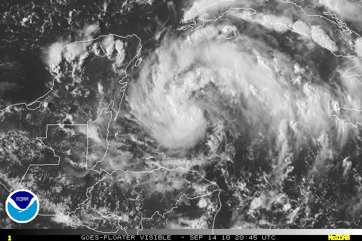
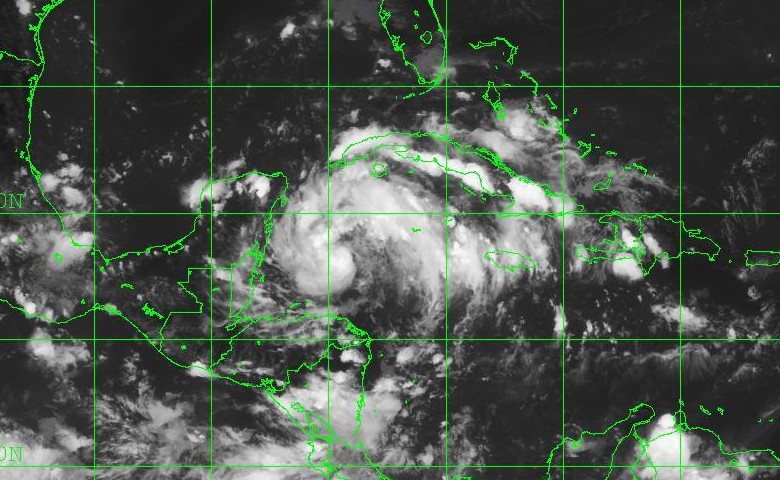
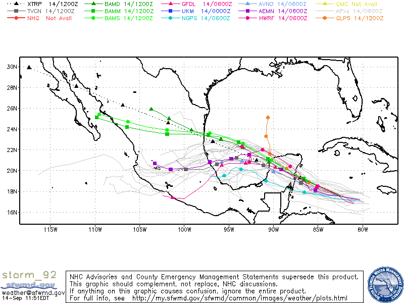
Invest 92L today seems the it is finally trying to get something together. Good convection has been present for several hours with the exception in the east and southeast quadrants. It does seem to have some very good, but not excellent cyclonic spin. If 92L can continue to do as well during the rest of the day, 92L may become a tropical depression. Tropical storm is not out of the question but I doubt it as 92L is running out of time before it comes ashore in the Yucatan.
ADDENDUM:
As of the 5:00pm Advisory Invest 92L has been upgraded to Tropical Storm Karl. TS Karl has maximum winds of 40 MPH but is the forecast is expected for Karl to strengthen slightly. Due to land interaction, any increase in strength should be gradual.
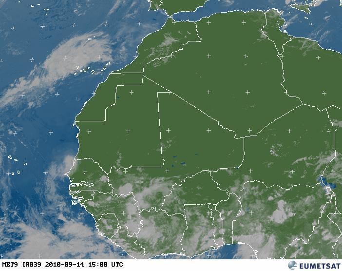
PGI45L is a system still over the African continent but will be coming off the coast soon. This a large system and will be monitored for further development.
2 replies on “Hurricane Julia, Hurricane Igor, Invest 92L (now TS Karl), PGI45L”
Hey Jim….looks like a busy news day for you….
Yes, today has been very busy. Not that I mind though. Thanks Carol!