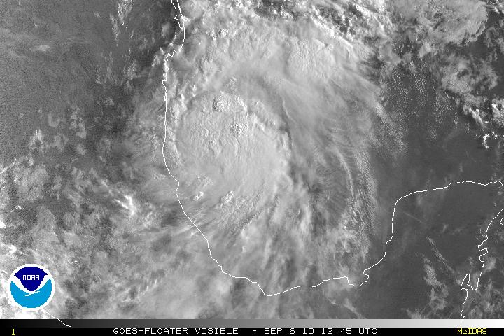
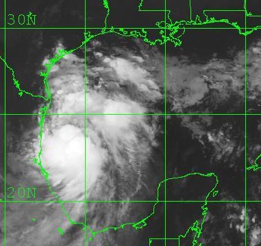
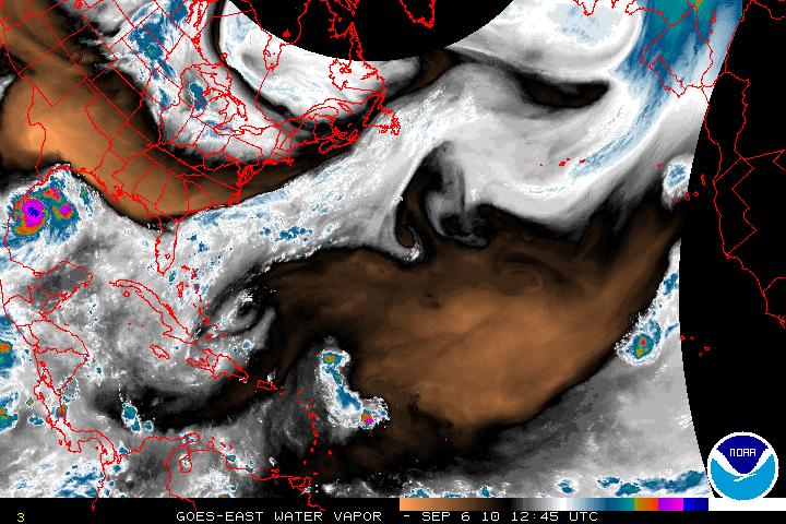
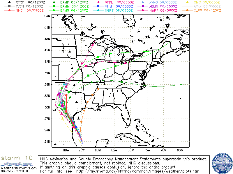
What was Invest 90L then updated to TD Ten has now been upgraded to Tropical Storm Hermine. Overnight, TS Hermine started to head N which did give it a little more breathing space to develop. It is still forecast to make the turn toward the NW but when that turn will happen is still unclear. The track for Hermine has shifted right from the previous one and this places TS Hermine right again the Mexico/Texas border. TS Hermine has a very ragged CDO(Central Dense Overcast), but unless it start to make the turn to the NW, the CDO should begin to have a better overall appearance. Additional strengthening is forecast but I don’t think it will have enough time to become a minimal hurricane even though the SST’s are in the 30°C-31C° range. I do believe the forecast track will need to be adjusted slightly to the right again as the ridging over the northern Gulf has been slow in coming.


