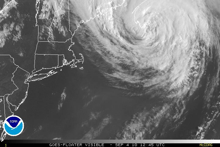
Tropical Storm Earl has been bearing down on Nova Scotia with winds of 70 MPH, and the center is now inland and within 24-36 hours will be a post-tropical/extratropical system.
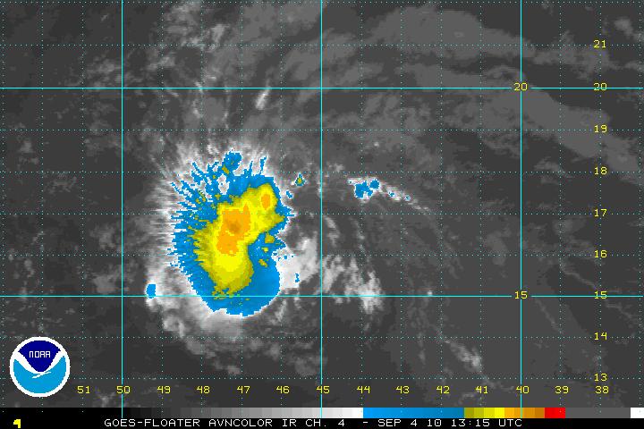
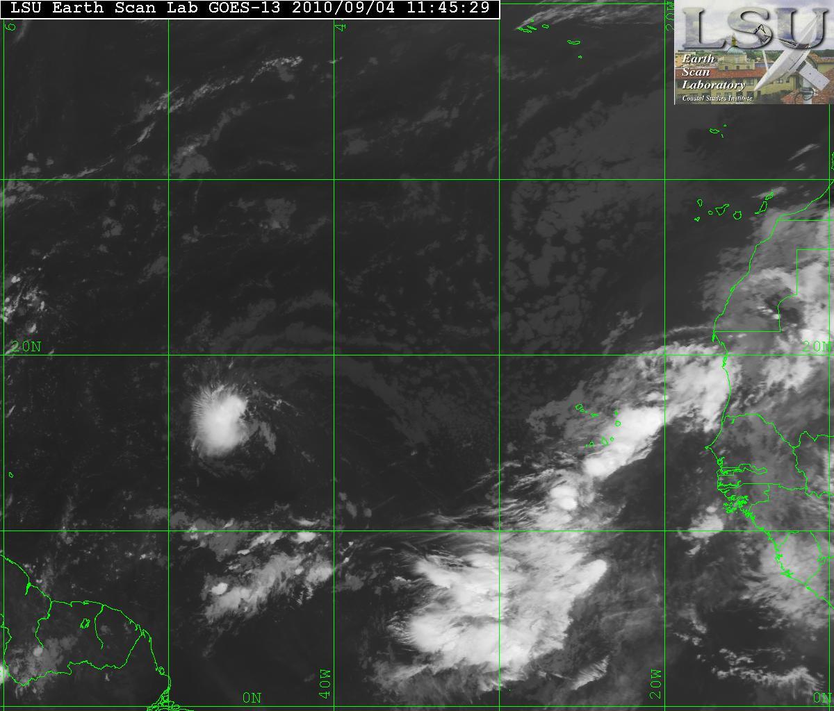
Ex-Gaston has continued to look somewhat healthy although the convection is west of the center but it is trying to redevelop back to a tropical cyclone. With the exception of some dry air, the environment will be favorable for continuing development and the forecast for Gaston is to become at least a Tropical Storm if not a Hurricane within the next few days. There is a TUTT in the area of PR and will continue to head SW and that will help develop an anticyclone that will possible be over Gaston – thus Gaston will be able to gather more strength and vent out. The direction for Gaston is simple, it will continue it’s westward drive. I feel it will stay that way till after it has passed through the Lee/Windward islands but later on it may want to take a more WNW- to NW direction. The forecast after that is still unclear.
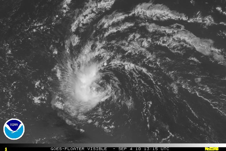
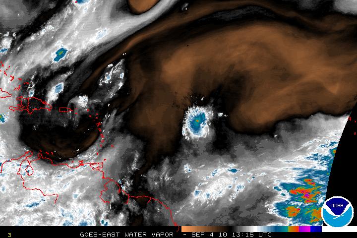
Using the Shear map you can see the TUTT.
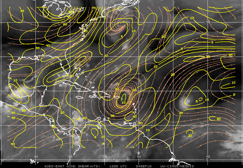
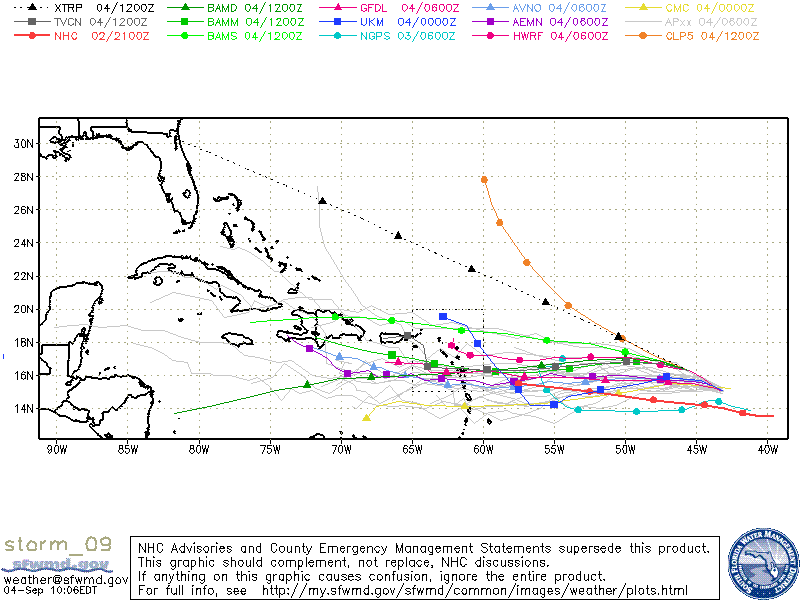
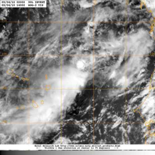
Invest 99L is disorganized system as it is very elongated from SW to NE. There is the possibility that the “center” could be within the ITCZ. If this were the case the models are going to incorrect. At the moment the models are forecasting a NW movement and away from everyone. If the convection is near that “center” within the ITCZ – we have a new ballgame. Until there is a better grasp on something that does not even have a LLC – an “accurate” forecast cannot be made.
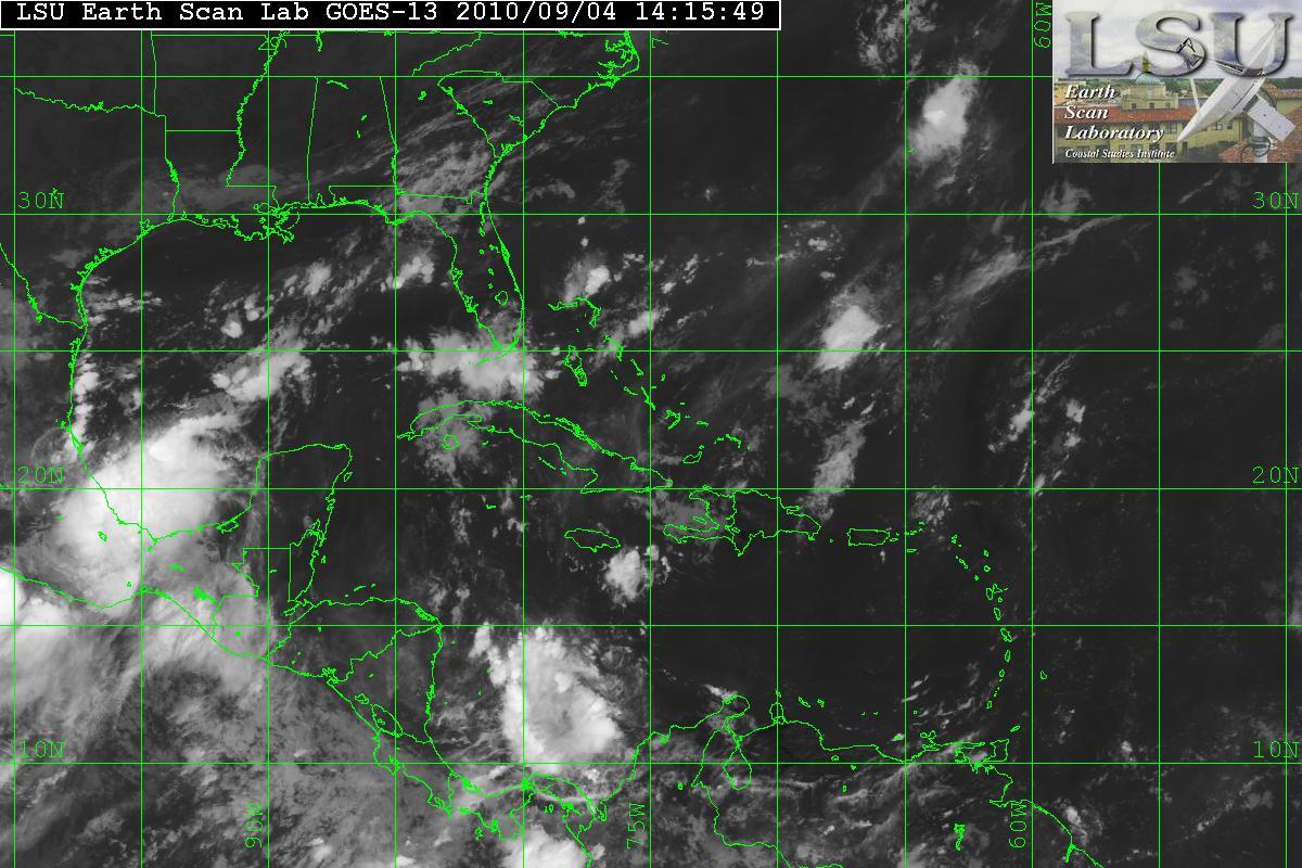
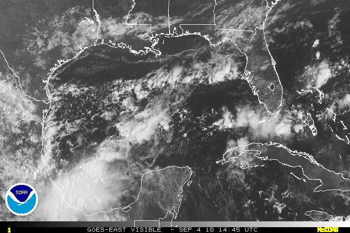
In the BOC – there an area of disturbed weather. This looks to be some energy from the system in the Pacific – TD11-E. The shear in that area is very light (5-10 knots) and is conducive for some limited development. Is may start to head NW or NNW. Within 36-48 hours, shear will increase and interaction with the land masses will hinder further development.
