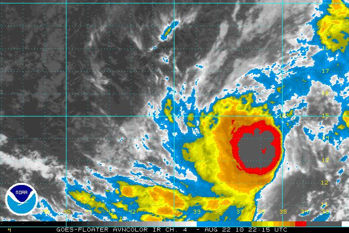
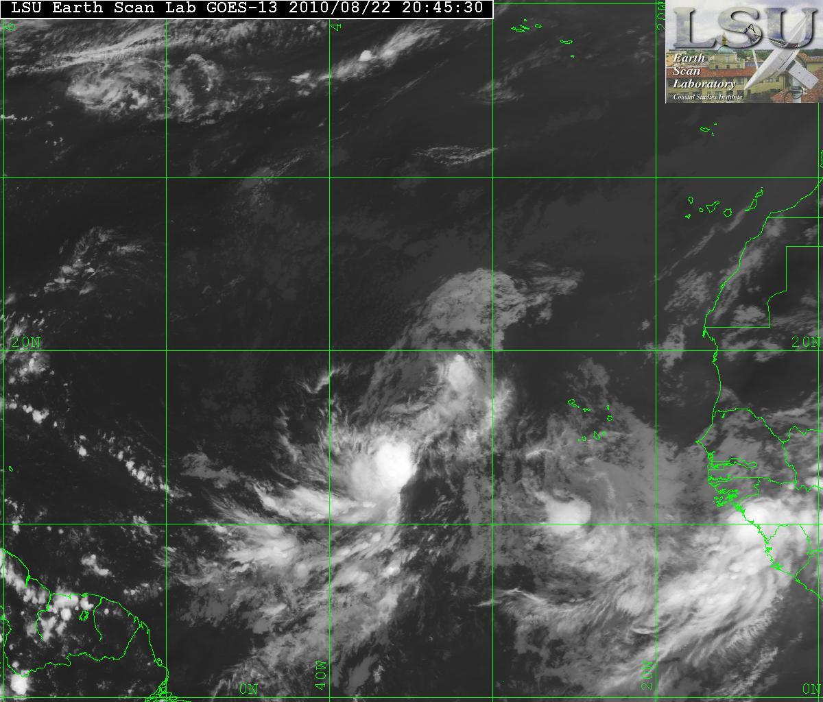
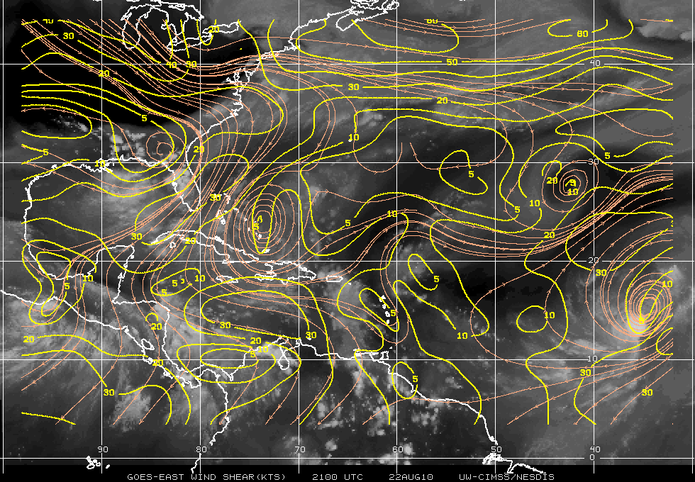
The expectations of what was TD Six has now been upgraded to TS Danielle at 5:00PM. During the day today, a lot of strong thunderstorms with some very cold cloud tops…some down to -85°C, made the forecasters at the NHC to make the upgrade. The colder the cloud tops – the better for storm development. The visible satellite shows that Danielle is continuing to experience the moderate shear from the east and southeast. This will be relaxing within 24-48 hours and this will allow Danielle to intensify to at least minimal hurricane status. Later, some of the models want to bring Danielle to a major hurricane. This will only be for a short period of time as the forecast is for vertical shear will begin to erode the intensification.


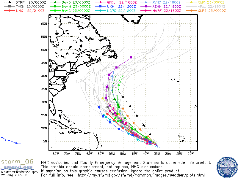
Although during the day today Danielle the movement was a bit northward, it has returned back to WNW and should stay that way for 48-72 hours. After that a break in the subtropical ridge will allow Danielle to head NW and away from the US coast. Depending upon how long Danielle continues the WNW movement, Bermuda may be affected.
