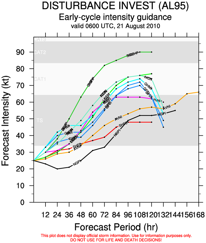
A wave that rolled off Africa a few day ago has been designated as Invest 95L. This is a system that has a very good chance to be a tropical depression within 48 hours. Invest 95L has very good cyclonic turning and it has a very moisture envelope.
(ADDENDUM – as of 5:00pm 8/21 Invest 95L developed enough to be classified and designated as Tropical Depression Six)
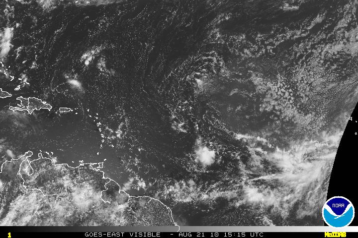
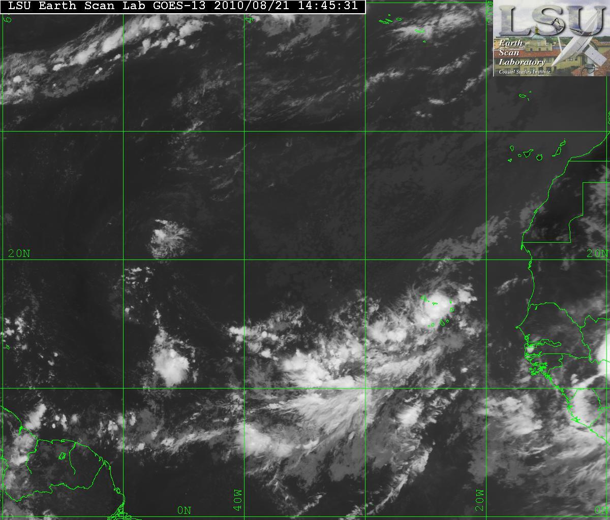
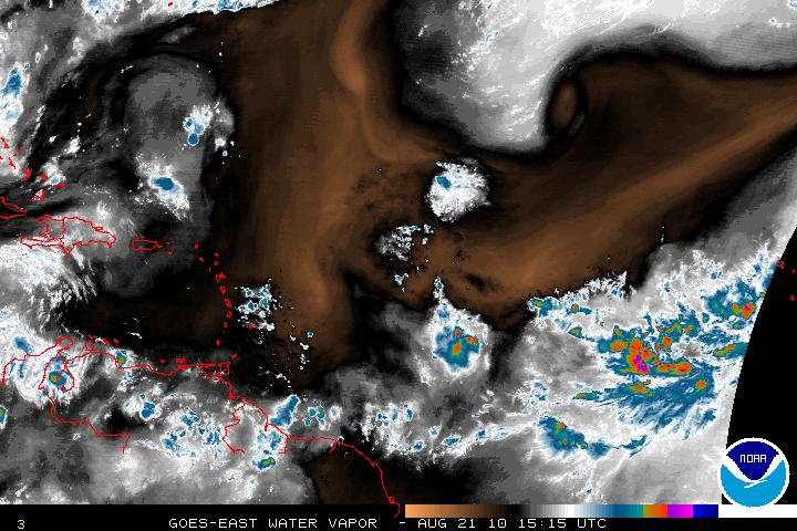
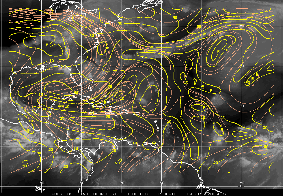
In the water vapor image above, you can see there is some dry air to the north of Invest 95L. The forward motion of 95L is W-WNW and this should allow the system to not be hindered by the dry air. Below is an image of Wind Shear analysis. The wind shear at the moment is not to bad for the system, but it is not allowing any development. The environment for 95L is going to be changing and the wind shear will be very low. Forecast is for better conditions overall.
The forecast for 95L is that it will develop into a tropical depression by sometime Monday. All models do want the system to turn NW then N and eventually curve out to the sea and away from any land masses. The problem is exactly when it will do so.
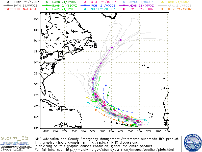
The intensity in the models seem to keep 95L in the yet to tropical storm range (at least for 48 -72 hours) for when it does develop. An outlier does want to have 95L into a hurricane but that is will have to be shown later on. Until the system fully develops, I would take the model intensity with a grain of salt.
