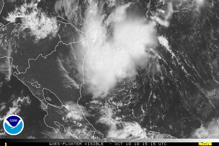
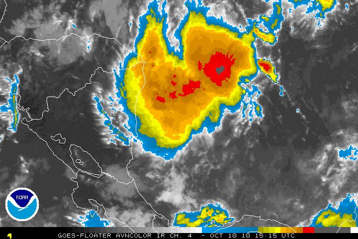
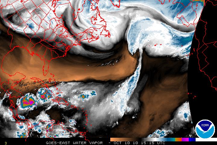
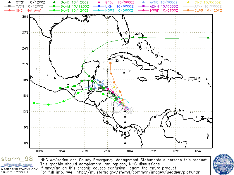
Invest 98L which has been lingering for many days has been getting better organized and may become a Tropical Depression or Tropical Storm in the next day or two but time will be running out as land interaction will halt any further chances of development. All the Global models are now keeping Invest 98L within the Western Caribbean basin. Invest 98L will continue to head WNW or NW and most likely will have landfall in Nicaragua and Honduras. A large area of dry air to the NW and N of 98L along with a few more troughs are in a zonal flow (west to east) within the US will keep Invest 98L from heading north to the to the US.
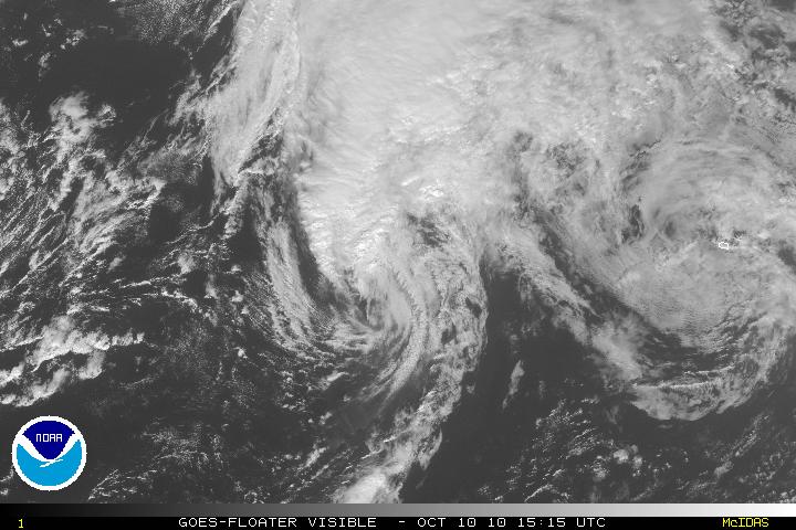
Tropical Storm Otto, way out in the mid Atlantic which at one time was a hurricane, was downgraded to a Tropical Storm yesterday and has been slowly been losing strength and tropical characteristics. Otto will be fully extra-tropical within 24 hours. The NHC is no longer tracking Tropical Storm Otto as of the 11am advisory.
