Categories
Tropical Weather

Hurricane Paula

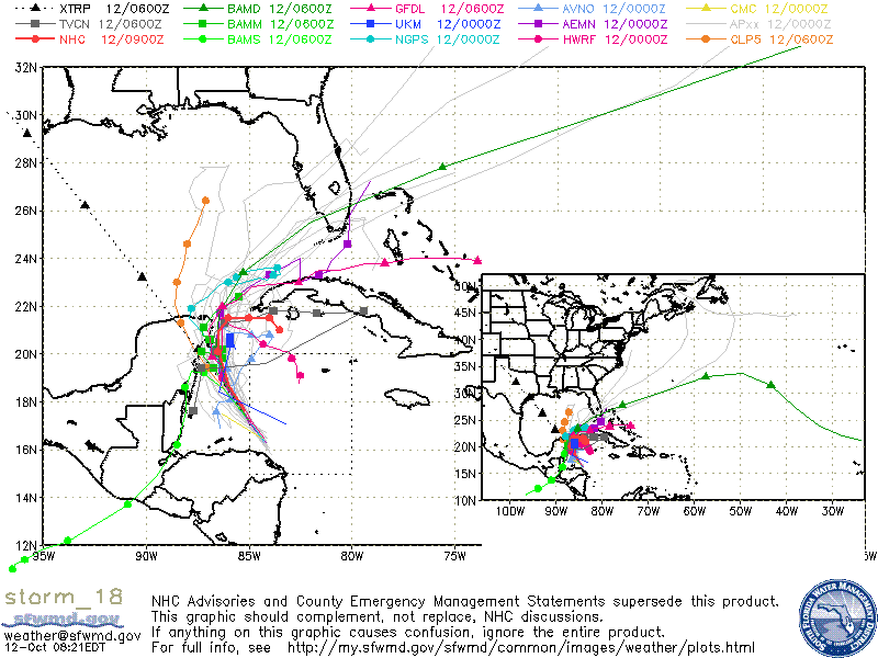
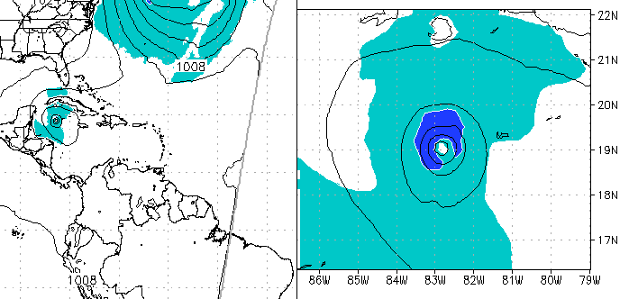
Tropical Storm Paula has been upgraded to Hurricane Paula as of the 5am advisory from the NHC. Hurricane Paula is forcast to strengthen to a possible category two hurricane, but this will for a very short time. Heat Oceanic content is very high right now and for the next few days but the atmosheric conditions will become less conducive for development as southwesterly upper level winds are forecast will begin to impact Hurricane Paula and a day or two later, dry air will be pushing southward and toward the center of circulation. Paula will is forecast to track to the NW then northward around the western periphery of a Mid-to Upper level ridge that is located over the northern Caribbean Sea. Model guidance is poor at best as there is no model consensus. The GFDL wants to make Paula a stronger system and head NE into Cuba and then into the Bahamas whereas the GFS, ECMWF, and HWRF want to keep Paula as a shallower and weaker system and keep Paula into the Western Caribbean and in some cases have landfall into Nicaragua. Since the forecast is for the upper level winds along with the drier air, the forecast is to follow the latter models BUT since the model guidance confidence is low, the GFDL guidance cannot be ruled out.

ADDENDUM: At 1:45pm EST the recon plane found winds of over 85knots or about 100MPH. Hurricane Paula is now a category 2 storm. Further strengthening for the next day or two is still forecast.
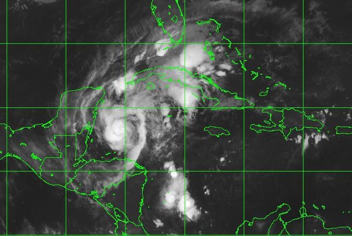
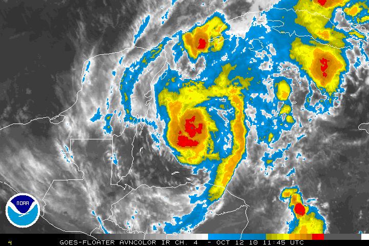
IR Satellite image of Hurricane Paula
AVN Satellite image of Hurricane Paula
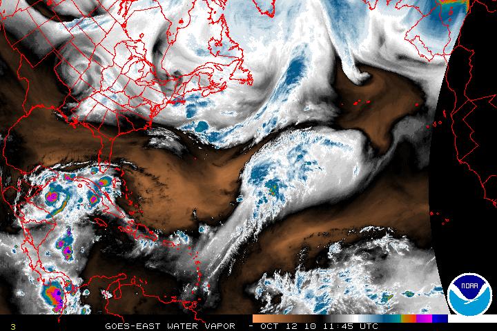
Water Vapor Satellite image of Western Atlantic/Hurricane Paula
Models for Hurricane Paula

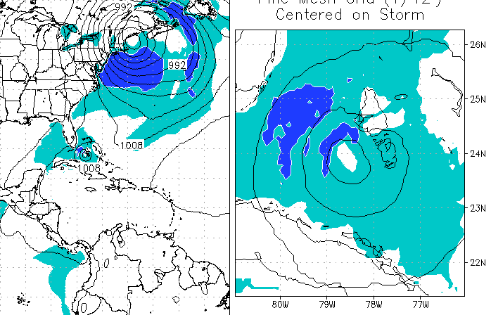
Below is the GFDL Model:

GFDL Model

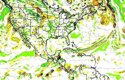
Below are the GFS, ECMWF, & HWRF Models:
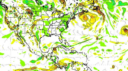
GFS Model at 216 hours
ECMWF Model at 144 hours
HWRF Model at 144 hours
Categories
Tropical Weather

Tropical Weather Trains

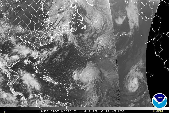
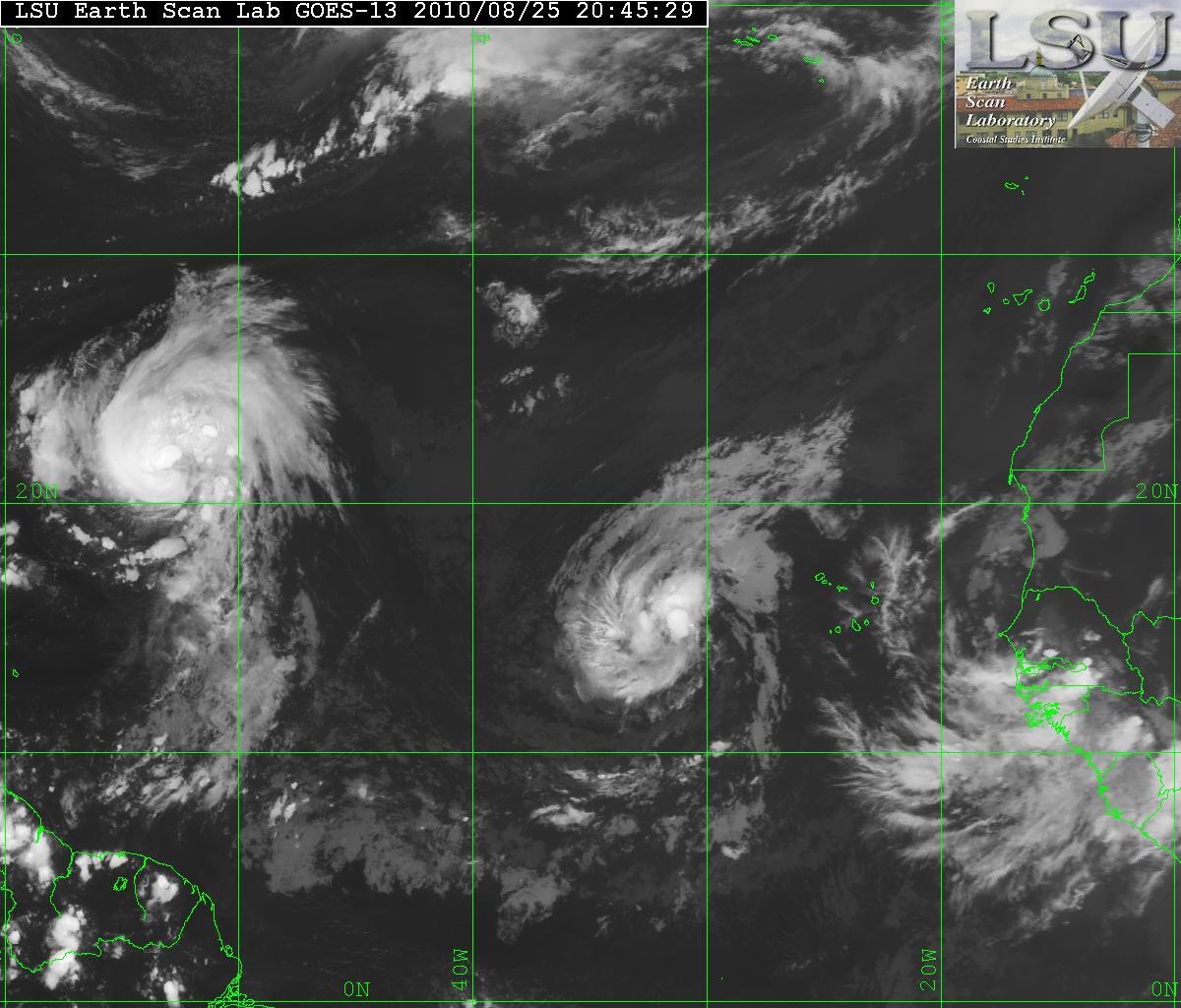
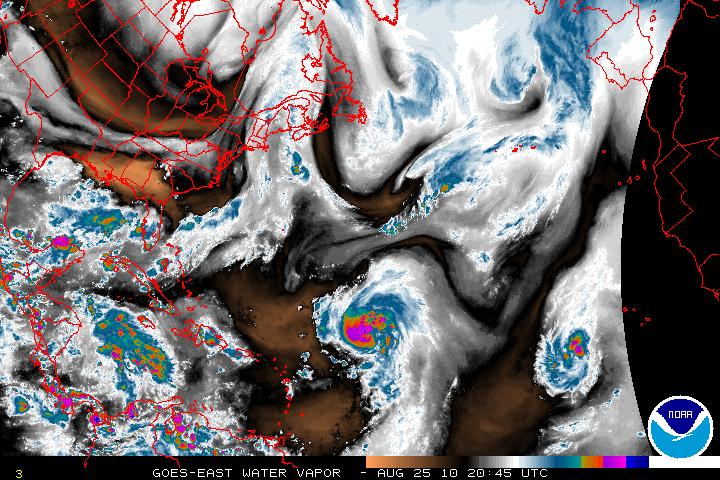
The tropics are now in full throttle and as of today we have Hurricane Danielle, Tropic Storm Earl, and a new wave coming off the coast of Africa. Those three systems are all from Africa and are what is called Cape Verde type systems. There is also a low pressure system in the Gulf of Mexico but nothing tropical at this time.

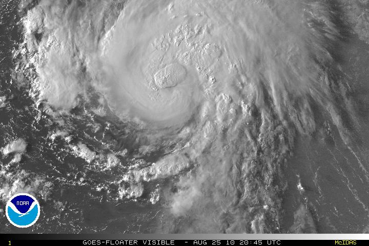
Visible Satellite of Danielle & Earl
Satellite Image of Danielle & Earl
Water Vapor Satellite image

Hurricane Danielle
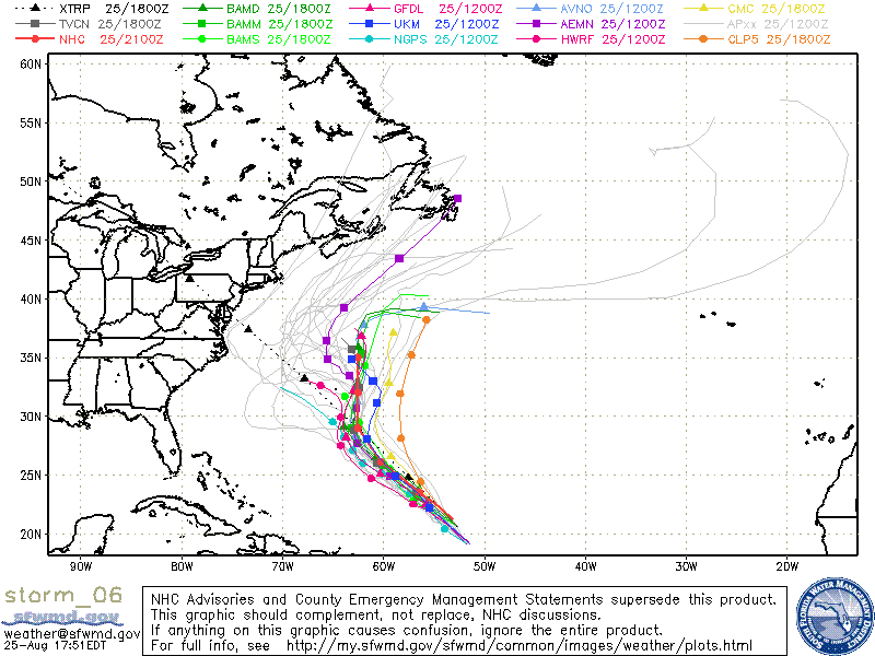
During the night, Danielle had lost some of its strength and was downgraded to a Tropical Storm but it has gradually gotten better and is now back to Hurricane status. Danielle is headed NW and soon will slow down it forward speed. Danielle is expected to make a northward turn within 48-72 hours. Danielle has a very good CDO, but there is a little southwestward upper level winds entering the core of the system but will be relaxing very soon.

Visible Satellite image of Danielle
Models for Hurricane Danielle

Tropical Storm Earl
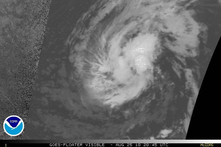
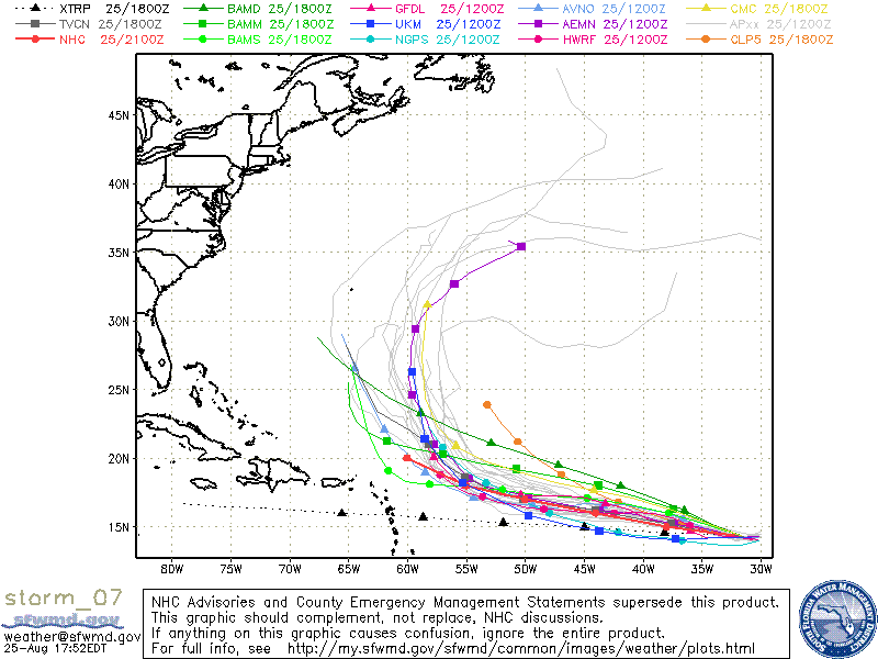
Tropical Depression Seven has been upgraded to Tropical Storm Earl. TS Earl has been gaining strength during the day and is forecast for gradual strengthening and be a hurricane in about two days. Earl has been on a somewhat westward direction and should continue this track for about 3 or 4 days. Earl has been taking the same track as Danielle and whether or not the cooling of the churned seas from Danielle will affect the strengthening is still up the air. The models do want to take Earl on a NW track in about 5 days. This is all going to depend on how strong Danielle will be for the next couple days. A strong Danielle will help keep the ridge and allow Earl to head northward. If Danielle stays as a minimal hurricane or tropical storm, the ridge might close up thus making a more W to WNW track. I feel the models have not grasped what Danielle strength will be, and the forecast might be off. I hope I am incorrect and Earl heads out to sea and with no one in his sights.

Visible satellite image of Earl
Models for Earl