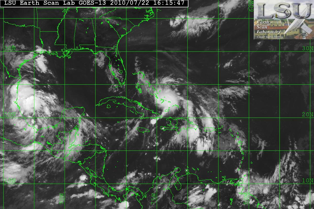
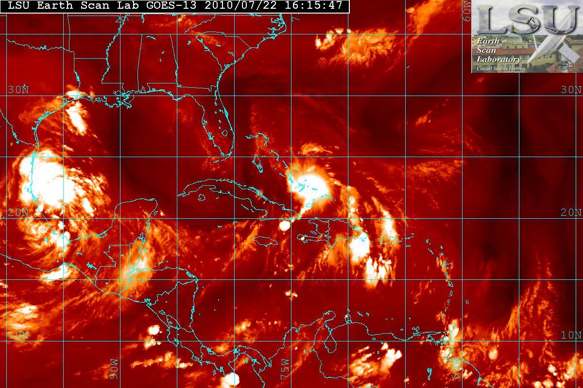
Invest 97L has now been upgraded as Tropical Depression #03.
Satellite loop imagery indicate the depression continues to become better organized. The satellite imagery seem to indicate the LLC is trying to tuck underneath the recent flare of convection to its east, along with some wrapping around the the convection just west of the center. This basically is an indicator that the depression is starting to gain some strengthening. The satellite also is showing that the ULL that is over Florida is retrograding westward at a moderate pace.


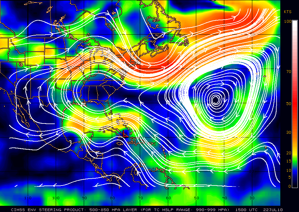
Current motion is placed at WNW or around 295°. Based on the forecast steering layer map from CIMSS – the forward motion should be a WNW for at least 24-48 hours. A slight weakness is noticed north of the Bahamas, the center may be moving toward the convection. There is a slight weakness in the ridge so there is a northern tug because of that weakness.

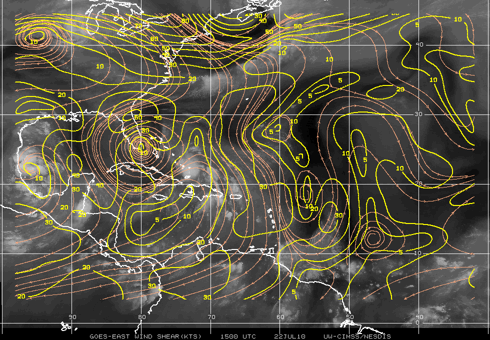
Shear map from CIMSS is indicating that an upper level anticyclone is becoming more apparent over the area. This will allow improved outflow in the upper levels at the 300-200mb range.

An Air Force Reconnaissance plane is approaching the depression right now. I will try to update this post with any new information later.