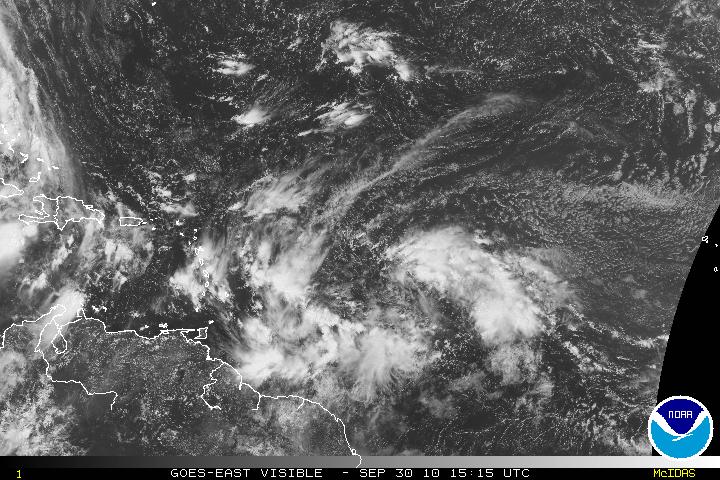
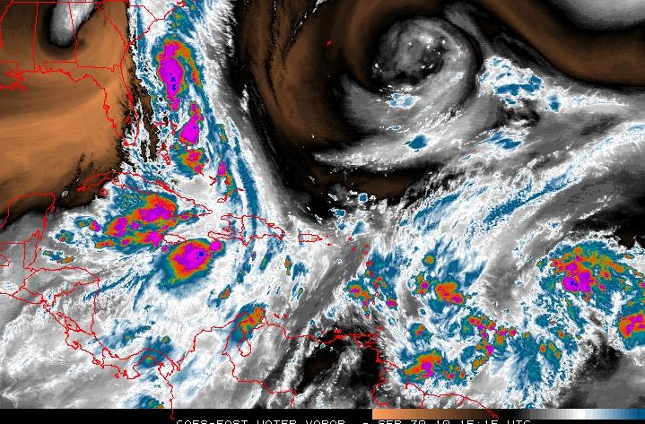
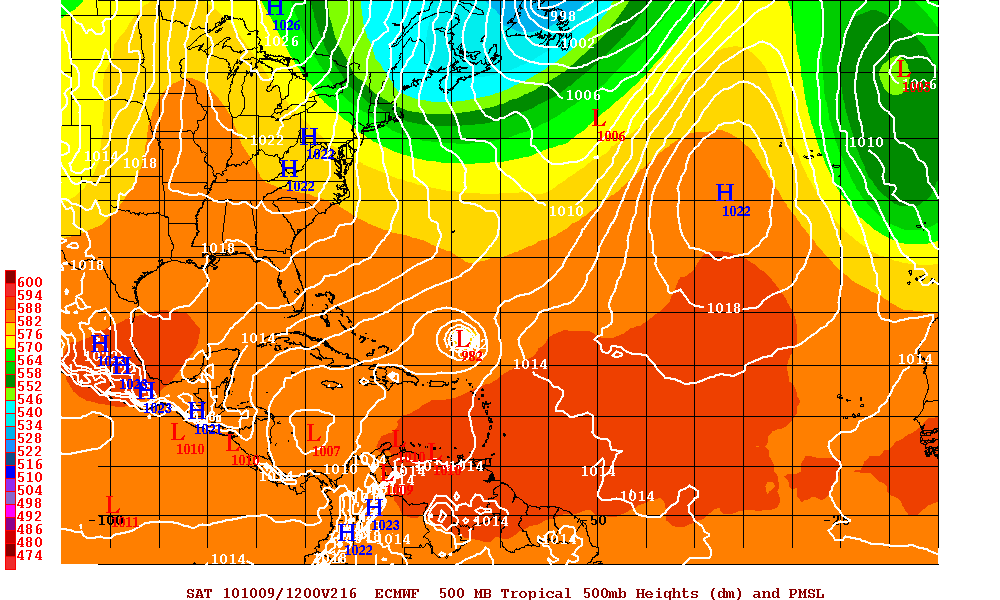
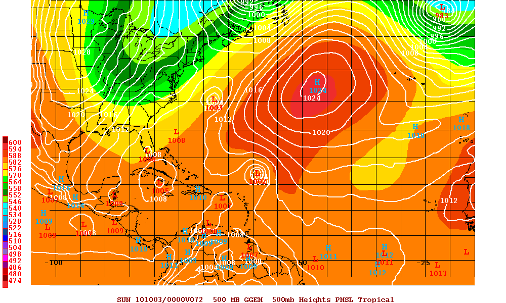
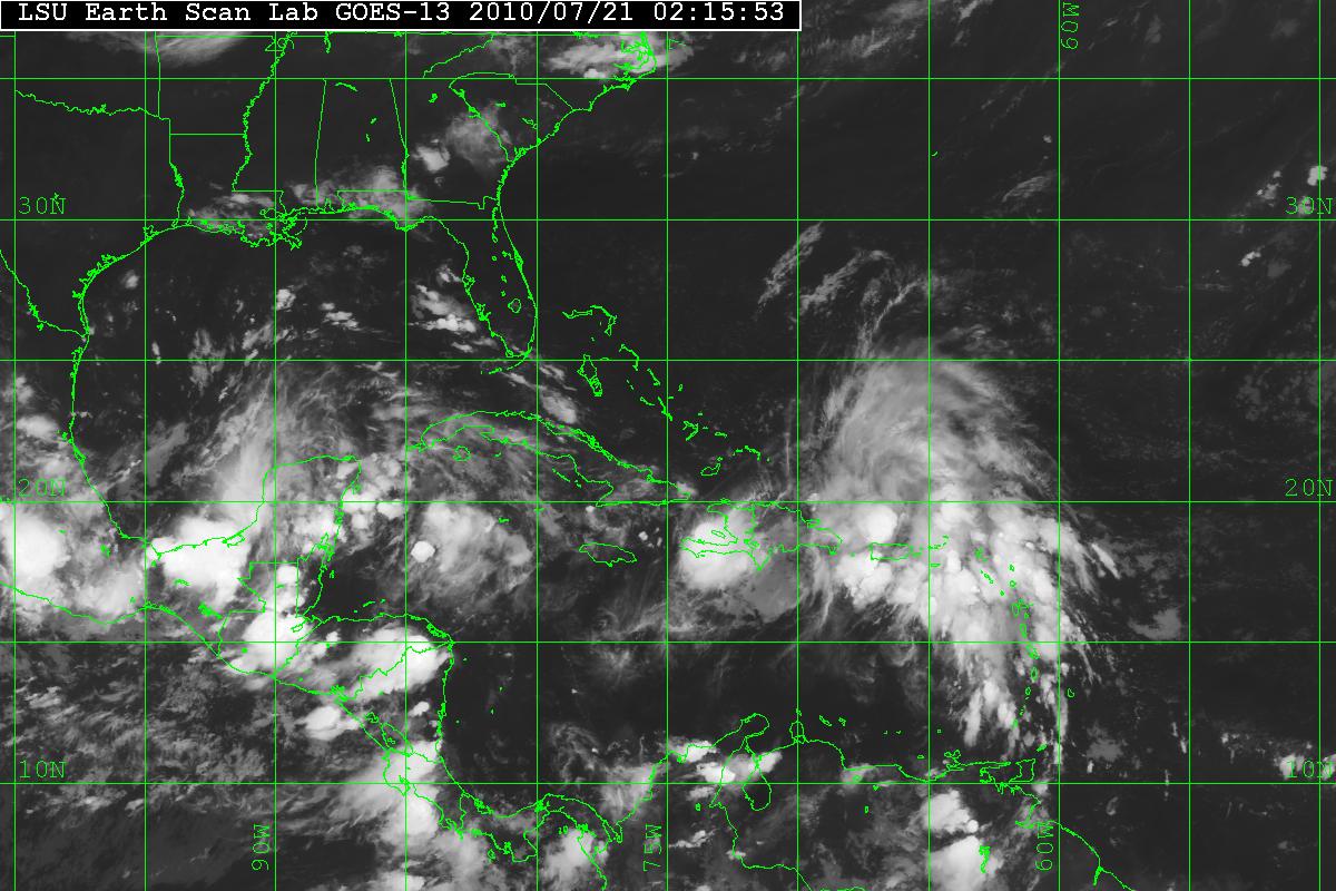
A couple waves in the atlantic (PGI48L, PGI49L) merged as Invest 97L. PGI49L was the dominant wave and eventually merged into one large system. There are two trains of thought on this system. One of the problems is that 97L is close to the ITCZ, but will probably gather some latitude soon. If not, then this system will be headed toward the Caribbean. So far, some of the models favor a WNW then NW track. The large trough off the East coast of the US will be headed NNE and this will weaken the ridge over the Mid-Atlantic and allow 97L to turn to the NW. The Euro and Canadian Model are forecasting that turn which will keep 97L away from the US coast. There might be a problem with those model runs as they were initialized with the two separate (PGI48L & PGI49L) systems. There is also a TUTT (Tropical Upper Tropospheric Trough) retrograding westward that is to the NW of 97L along with some dry air. If the TUTT doesn’t weaken, then this may keep 97L in check and continue the westward movement for a little longer. 97L is forecast possibly become TS Otto in a few days.
The problem is if the westward movement continues, this may allow 97L to slide under the ridge allowing the Northern Leeward Islands to be affected. This will also tend to keep the U.S. East Coast under the gun or possibly go through the Florida Straights and then a new trough pick up 97L anywhere from the Gulf States to Florida. Until the models can get a better grip on this system and have a more consensus between the models and since this is the peak of hurricane season, everyone should keep an eye on the tropics.
