Categories
Tropical Weather

Invest 99L

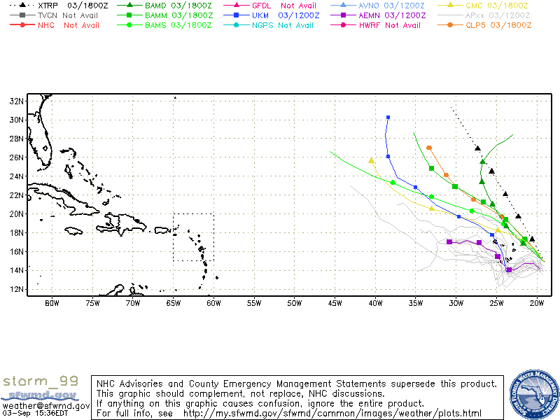
A large tropical wave that just came off of Africa has been designated as Invest 99L. Although there isn’t much of any cyclonic turning, conditions are favorable for slow development. At the moment, the NHC is giving a 30% chance of becoming a tropical cyclone in within 48 hours. Most of the models are forecasting that Invest 99L will be turning NW and hopefully nothing we will ever have to worry about (unless you are a fish). This system has just been initialized and bias and errors are possible.
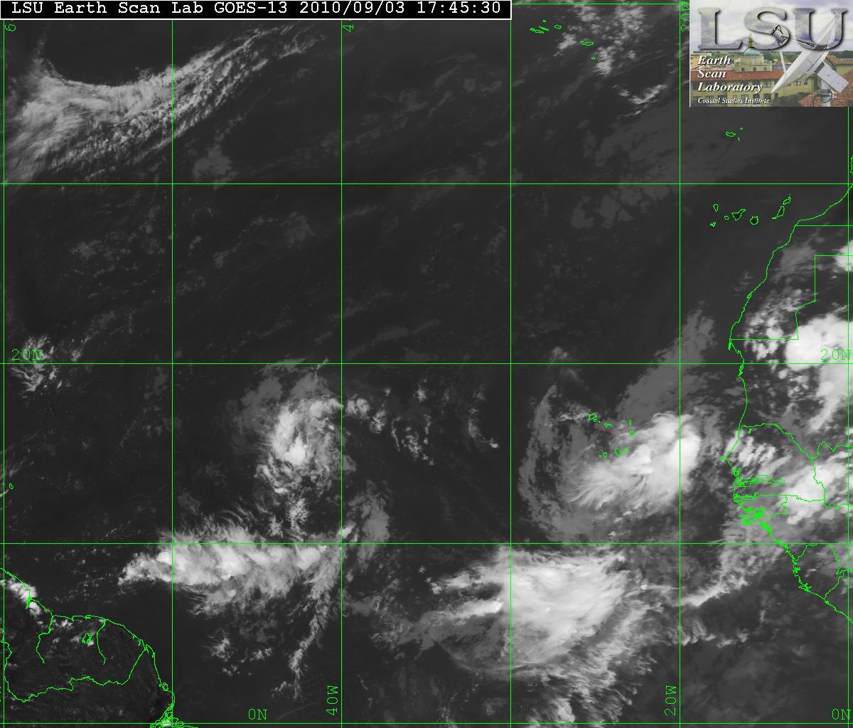
IR Satellite image of ex-Gaston and Invest 99L
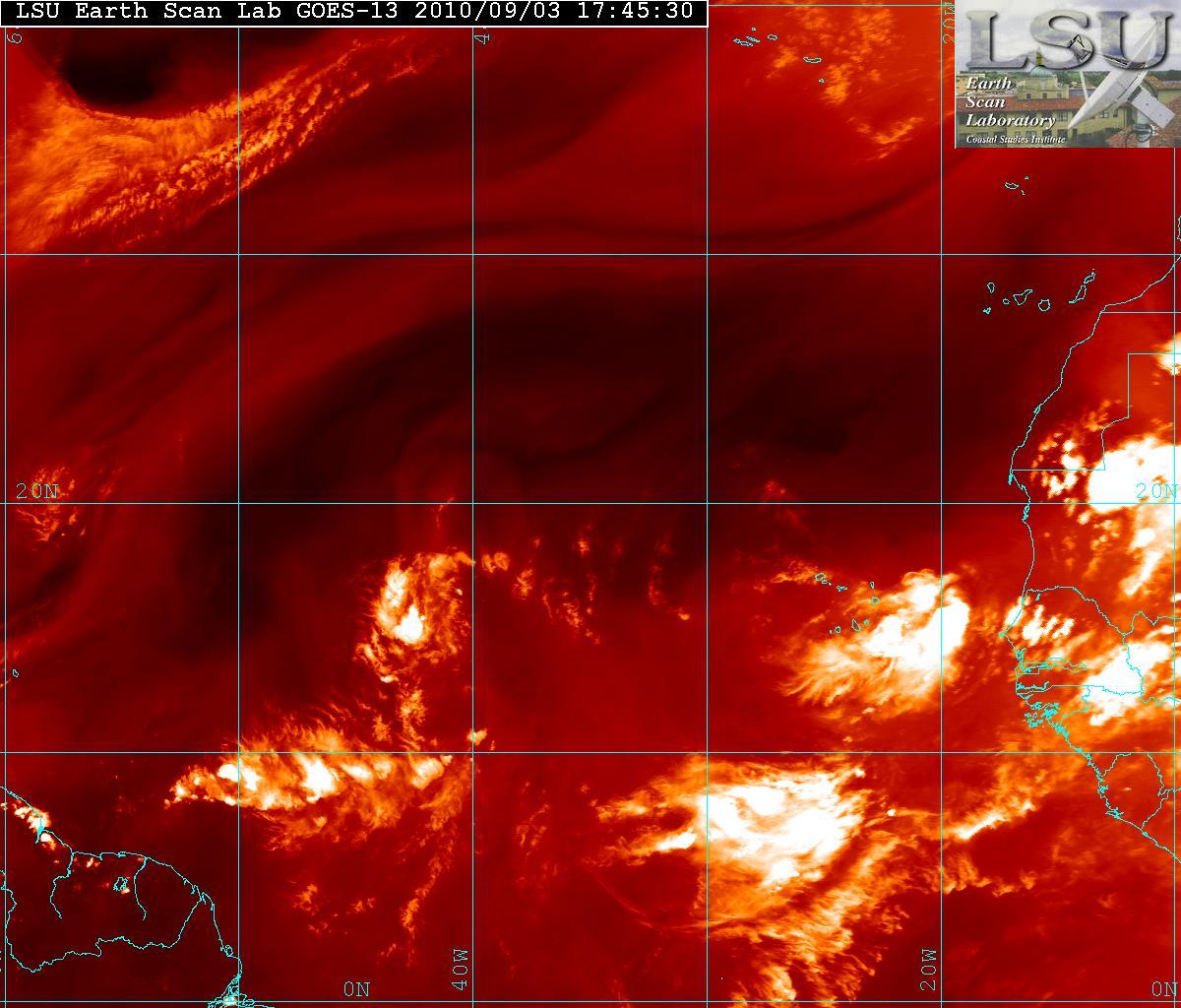
Water Vapor Satellite image of ex-Gaston and Invest 99L
Models for Invest 99L

An update of ex-Gaston, conditions will be improving in the next few days and Gaston may regenerate. Gaston will be heading into an area where an anticylone will be over it which will allow strengthening to possible be a tropical storm in about 4 or 5 days.
Categories
Tropical Weather

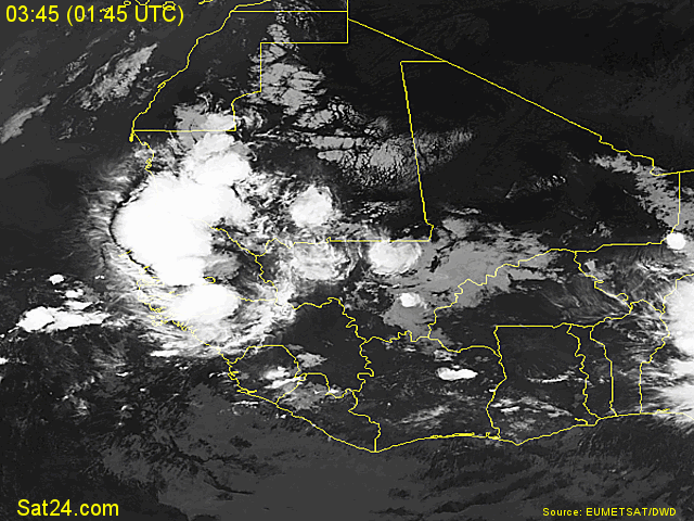
Impressive wave

A new very impressive wave is just coming off western Africa coast and another is following it. Will it have a chance to develop it to something tropical?

Wave off Africa

At the moment I do not see the MJO (Madden Julian Oscillation) as a factor. During the summer the MJO has a modulating effect on hurricane activity in the Indian Ocean, the western and eastern Pacific and Atlantic basin.
The MJO is characterized by an eastward progression of large regions of both enhanced and suppressed tropical rainfall.

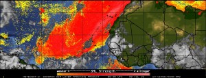
The SAL (Saharan Air Layer) maybe a factor. The SAL at times can be a very intense, dry and dusty layer of the atmosphere. This can suppress any tropical cyclone development. The image from CIMSS shows a major layer of dust in the Eastern Atlantic.

SAL

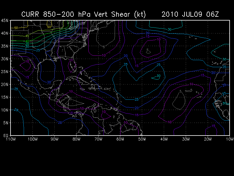
Vertical Shear is in the 15-20 knot range but is is decreasing as the wave moves westward.

Vertical Shear

The SST’s (Sea Surface Temperature) in the area are above average (anomaly) and are 28°-29° Celsius or (82° – 84° Fahrenheit). Tropical Cyclones tend to need a minimum of 26° Celsius and above for anything to develop.

It is still to early to what will transpire with this wave but this is the time of year when storms will soon be developing in the Eastern Atlantic rather than the Caribbean or Gulf of Mexico. My own feeling is that won’t develop and can be counted out for at least the next couple days or will dissipate entirely.