Hurricane Earl is the big story now as it looks to threaten the Outer Banks with now category 3 winds. Earl is beginning to feel some affects of W and SW dry air entrainment. Earl, with winds now at 125 MPH, is still a large and dangerous storm. If the center as forecast stays just offshore, then they will not get the dirty side of the storm and hopefully it will not be as bad as expected. The center of Earl should pass the Outer Banks later tonight.
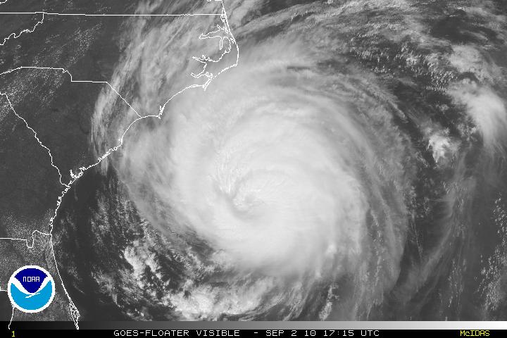
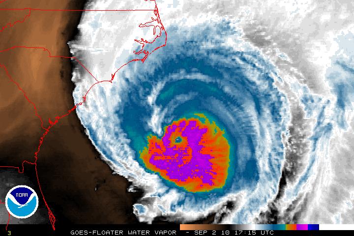
Tropical Storm Fiona continues to to move toward the NNW with a forward speed of 17 MPH with highest winds of 50 MPH. A turn to the N is expected later tonight. Sometime late Friday night or early Saturday night Fiona will pass close to Bermuda. I would expect Fiona to lose some strength by the time it passes by Bermuda.
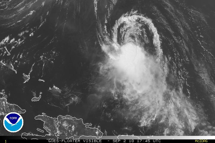
Gaston has been downgraded at least temporarily now as a Tropical Depression as Gaston lost most of its convection and the structure of the storm is poor. Gaston, as expected, lost a lot due to a lot of dry air and subsidence this morning. If Gaston can survive, which I believe it will, it will be brought up to a tropical storm in a day or two. The forecast for Gaston is that it will most likely will become at least a minimal hurricane possibly by Monday morning. Due to the ridging – Gaston will continue the W or WNW track. If this track continues, Gaston will be in the area of the Leeward Islands or possibly further south to the Windward Islands.
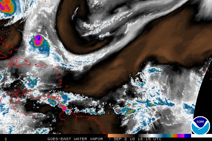
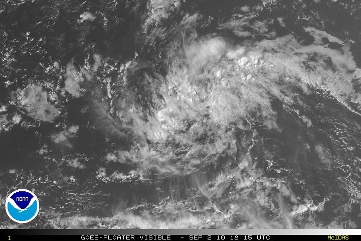
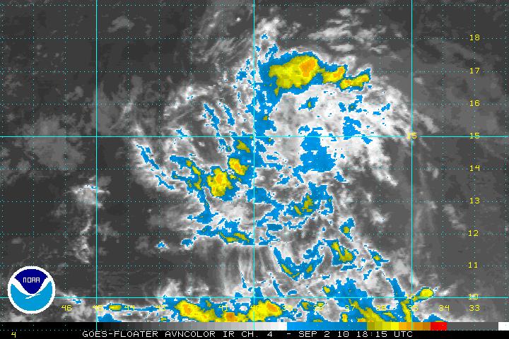
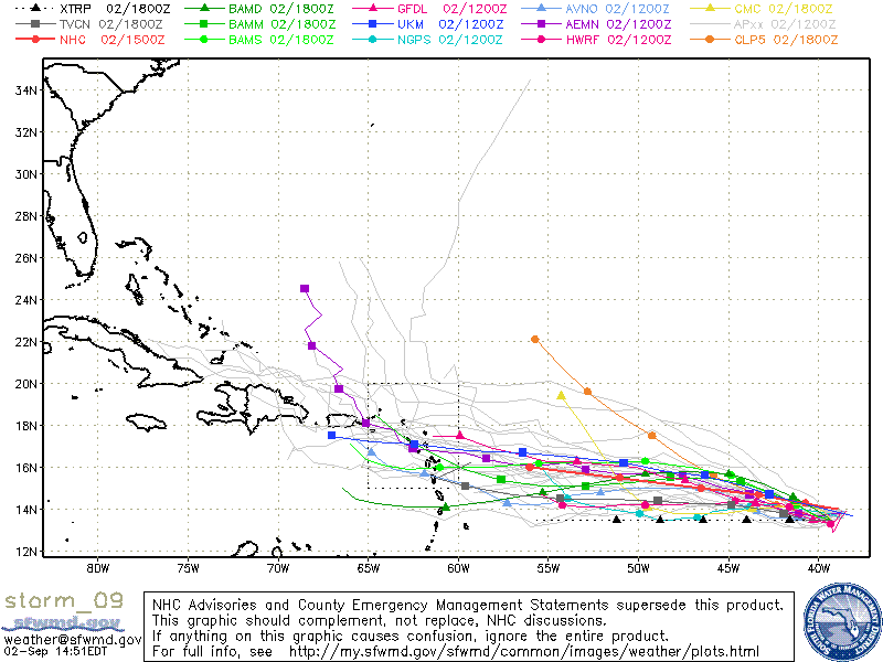
Addendum: As of the 5:00PM Advisory – Gaston has been downgraded even further and is now a remnant low. Advisories discontinued unless regeneration occurs. This very possible if conditions improve in a day or so.