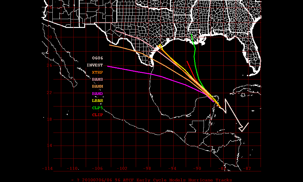
This morning an area of some very intense thunderstorms has become better organized and has now been designated as Invest 91L. The NHC has this system at a 60% chance of becoming a tropical depression by Tuesday morning. Satellite loop imagery is indicating that the intense thunderstorm activity and intensity has been increasing. The latest satellite images seem to indicate that 91L has very good cyclonic turning and may be beginning to form the surface circulation even though 91L is still within the ITCZ and still to close to the equator. This may be the beginning for 91L to break away from the ITCZ and if so then 91L may be classified as either a tropical depression or tropical storm later today or tonight.
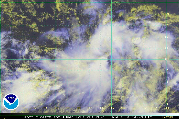
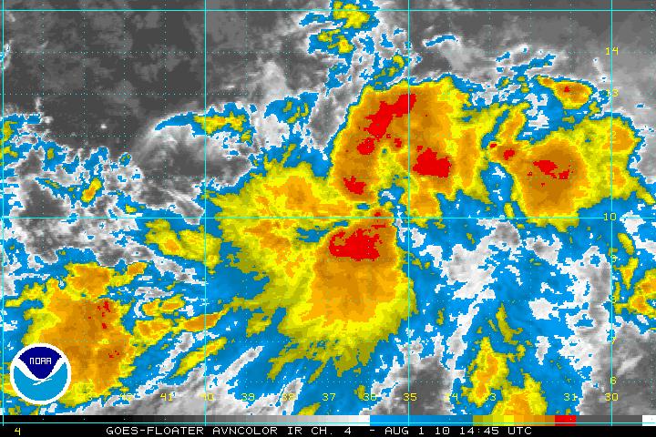
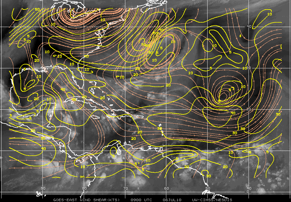
With the SST’s in the area at around 29° centigrade and the SAL to the north of 91L along with the wind shear at 10-20 knots, further development is a distinct possibility. The only negatives for any development for 91L is the MJO, which favors downward motion over the tropical Atlantic and as stated earlier, being to close to the Equator.
Later in the week, as 91L approaches the Lesser Antilles, a strong upper-level low near Puerto Rico is forecast to bring high levels of wind shear. This would hamper any quick intensification. As usual, any long range forecasts will have changes so to state where and how strong any system will be is just speculation.
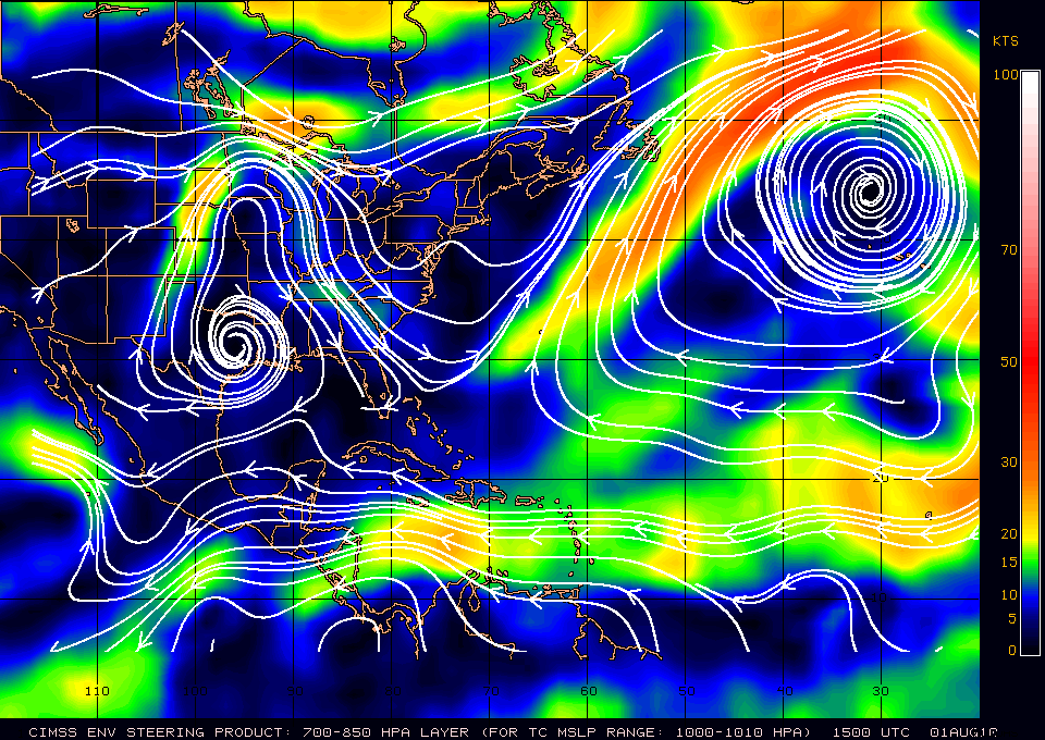
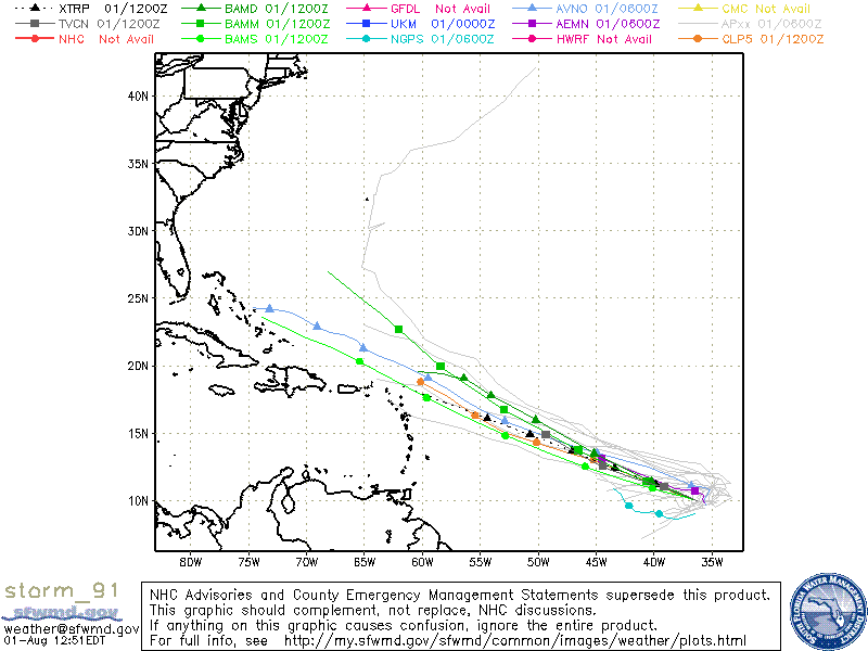
Steering layer forecasts to keep 91L on a WNW track at least for the next 1-2 days, after that a WNW – NW motion is forecast. All those in the Leeward Islands should keep a eye on 91L.
