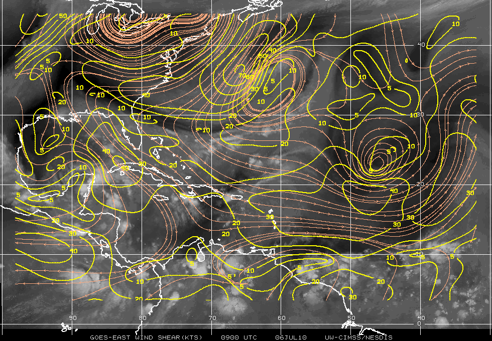
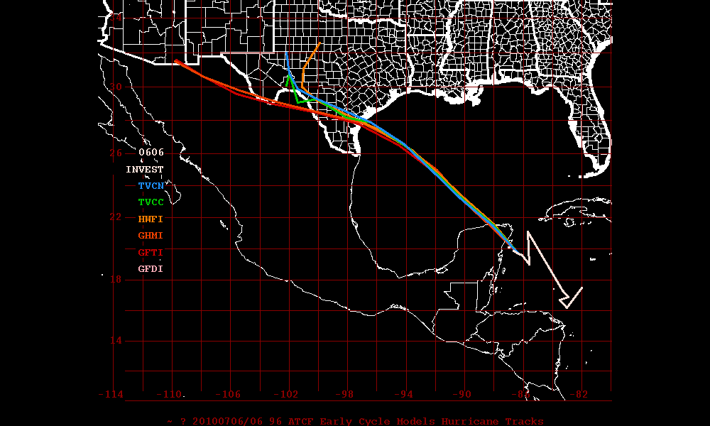
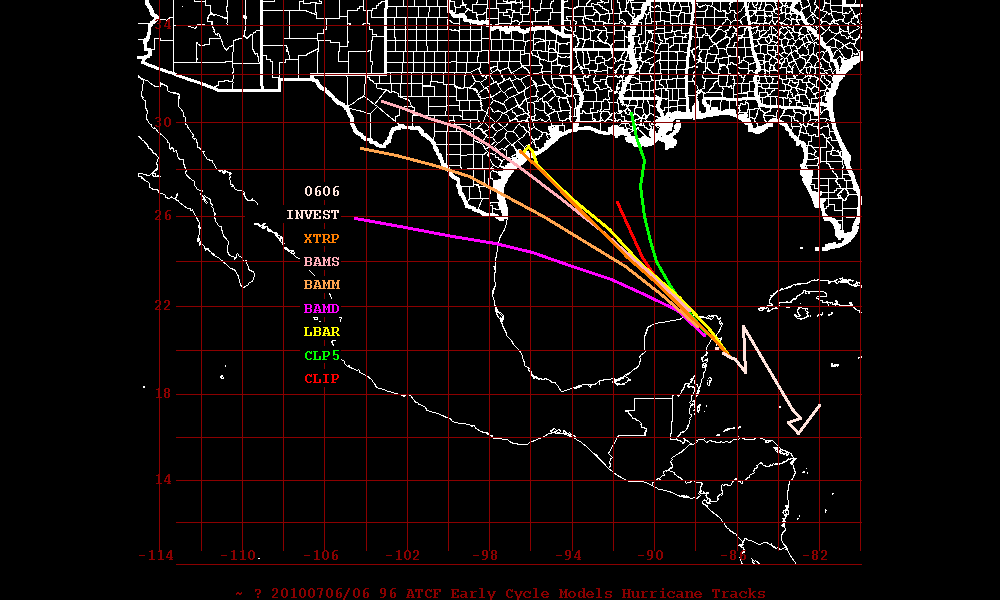
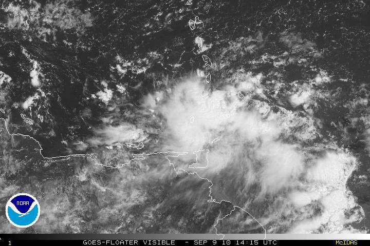
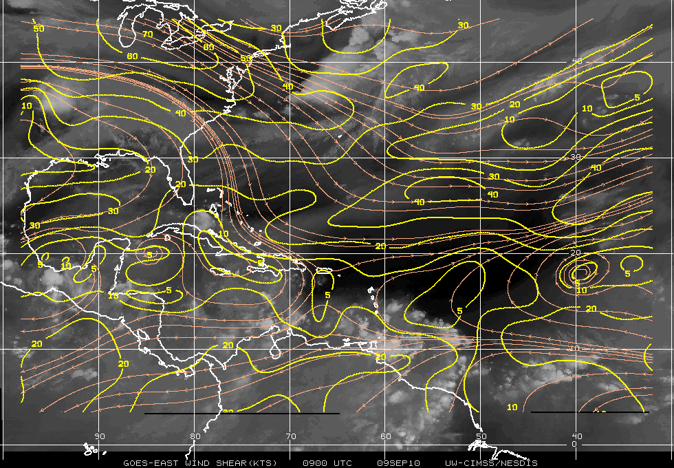
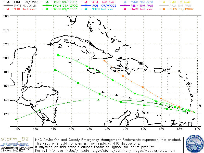
A wave in the eastern Caribbean, just south-southeast of the Windward Islands has become better organized and has been designated as Invest 92L. Once Invest 92L can move away from the South American coast, 92L will be in a position to strengthen and develop into a tropical cyclone. Most models are in agreement of 92L developing into a hurricane and the flow will be a W to WNW movement. An outlier model (the Canadian CMC) model has it closer to Cuba and possibly Florida. Shear will be very light and the environment will be conducive for further development. The pattern for this system will be for 92L to have landfall toward the Yucatan and if it follows a more WNW-NW flow it will get into the southern GOM and this might be another threat to Texas if it holds together.
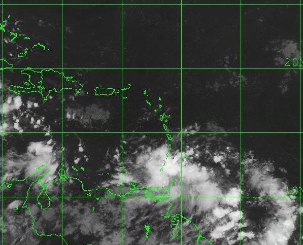
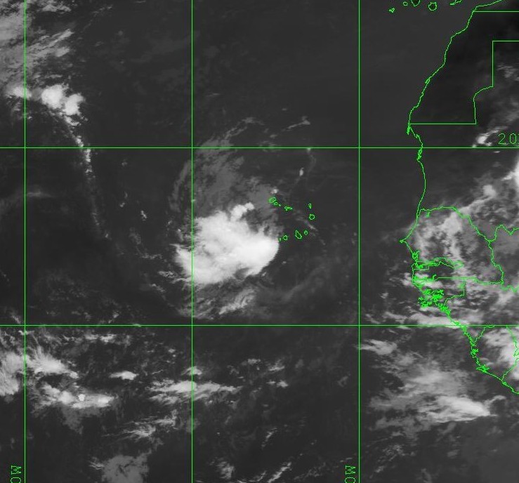
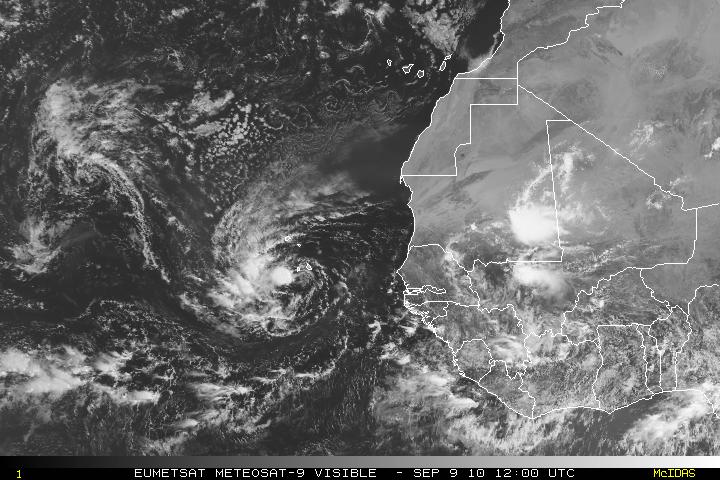
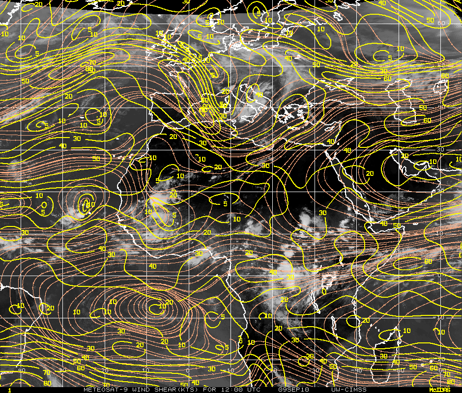
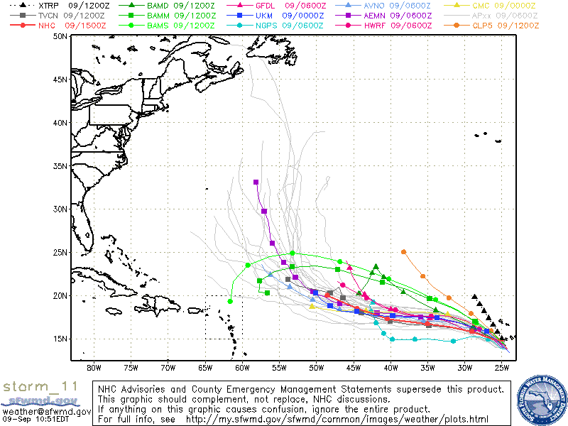
Tropical Storm Igor overnight and this morning was being assaulted by moderate easterly shear but as the day progressed the shear began to relax a little and this allowed deep convection within the center to form along with an expanding convective field. There was a weak low to the northeast of Igor but that has been absorbed by Igor. The shear will be relaxing over the next few days along with warm SST’s and a very moist envelope, Igor will be in an environment conducive for steady intensification. Both Statistical and Dynamical models are in agreement for Igor to be a hurricane with 2-3 days. Further intensification is also forecast. There is a mid-level ridge to the north of Igor and this will keep Igor on a W to WNW track along with a gradual increase of forward speed. On day 4 Igor will be be in the Central Atlantic and will be near a trough which should cause Igor to turn toward the NW. Exactly how much of a turn and when has caused the different models to slightly disagree. Some models tend to believe that Igor will follow a path similar to Danielle and therefore the will not affect Bermuda where as other models are taking a slower track and taking a path similar to Earl being between the coast of the SE U.S. and Bermuda.
