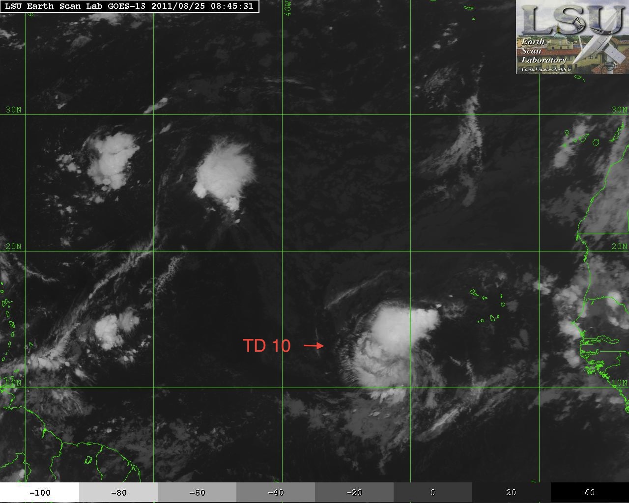
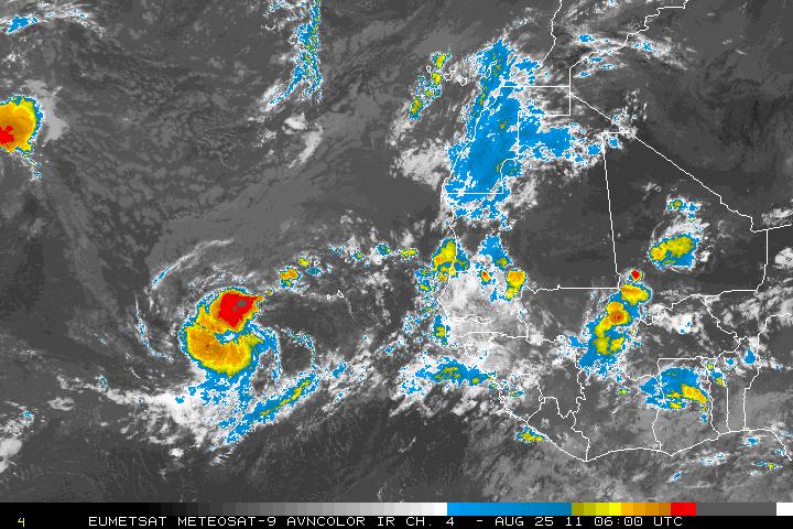
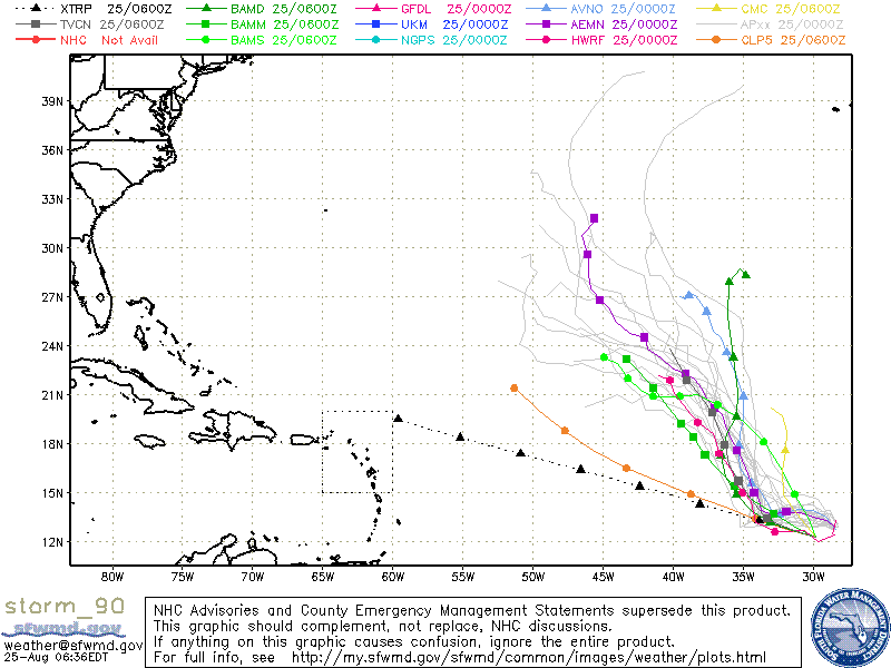
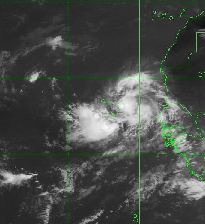
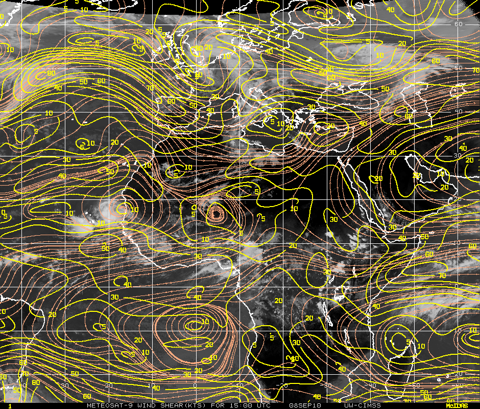
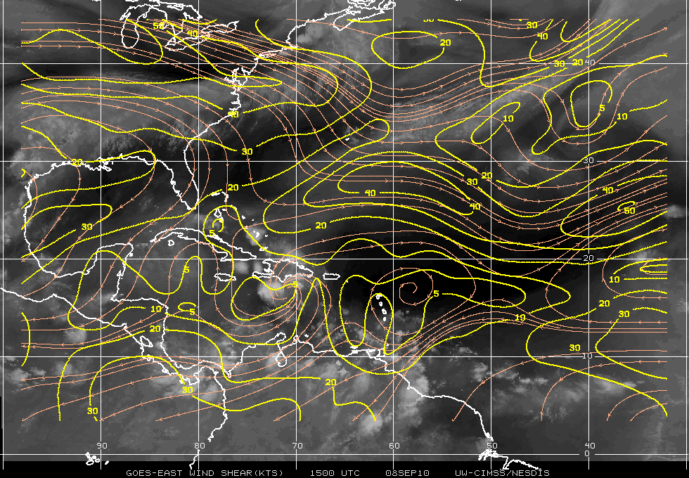
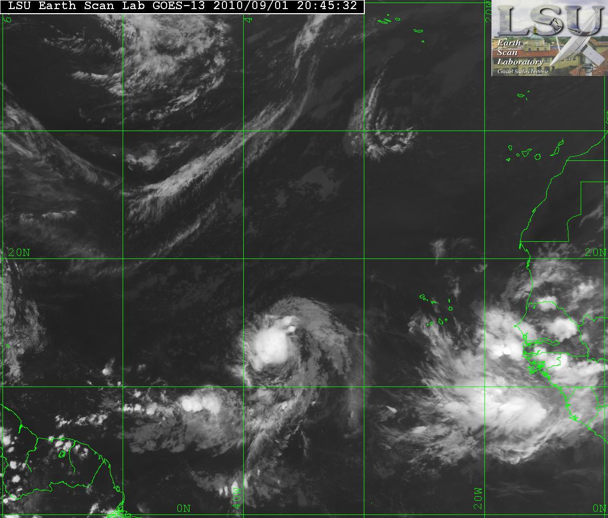
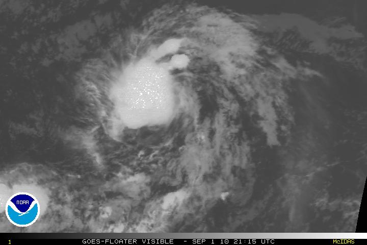
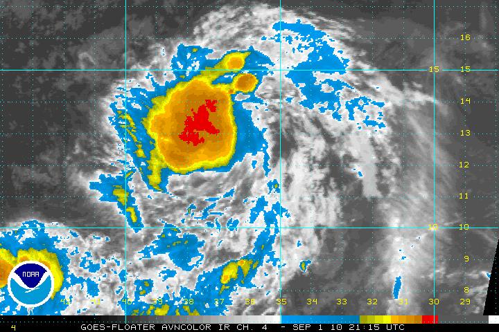
The tropical wave south west of the Cape Verde Islands had been tagged as Invest 90L but has been upgraded to Tropical Depression Ten as of the 5:00AM advisory from the NHC. The environment for Tropical Depression Ten is somewhat favourable for continuing development and a tropical storm may form within the next day or two. A few of the models show a possible tropical storm may develop. Most of the models also are supporting a track toward the northwest but by day 3 or 4, Tropical Depression Ten should encounter southwesterly shear along with a turn toward the north. Tropical Depression Ten will also begin to weaken as it encounters cooler SST’s of 25°-26°.
Tag: shear
Tropical Storm Tomas Reborn
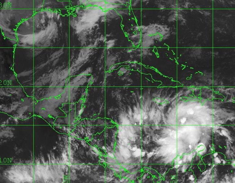
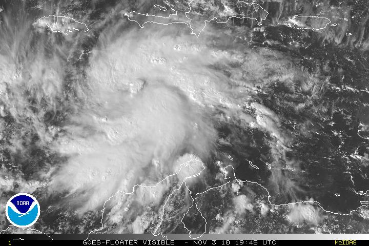
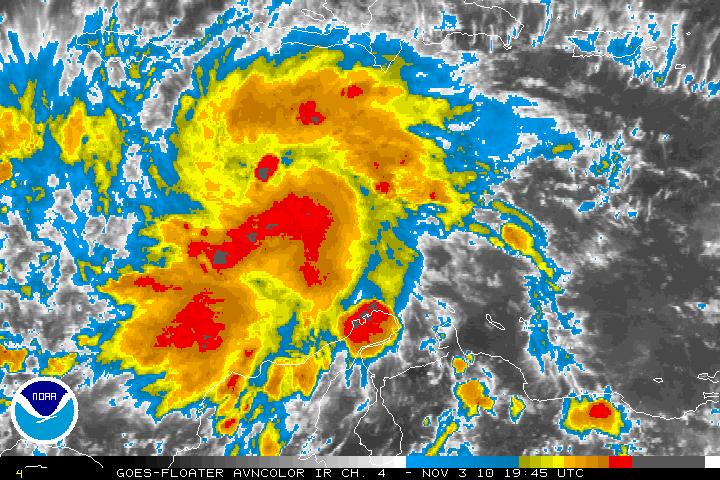
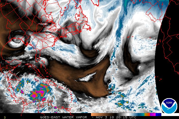
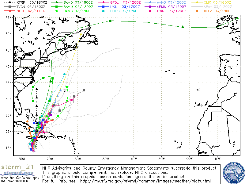
After losing tropical storm status early in the morning, Tomas has been able to regain it’s structure and reorganized during the day and as of the 5PM advisory from the NHS, Tomas has been upgraded to Tropical Storm status. Now with Tomas reorganizing and with light vertical shear and warm SST’s, intensification is forecast. SHIPS rapid intensification index is showing a 50% chance of 30 knot strengthening within the next 24 hours. An argument can be made that with the current organization of Thomas, that is a little too much. The new intensity forecast is a compromise between SHIPS and the LGEM model forecast. Although it is not out of the question but here is the possibility that Tomas may become a hurricane before land interaction stops any further intensification. After passing Hispaniola, southwesterly wind shear will cause Tomas to weaken.
Remnant Low Richard…
Tropical Depression Richard no longer has sufficient deep convection and has been downgraded to a Remnant Low. Although Richard is over water, dissipation if the system is forecast due to strong southwesterly shear along with dry air. The low is on a NNW track and is forecast to continue that track along the southwest periphery of a low-level subtropical anticyclone. Regeneration is highly unlikely.
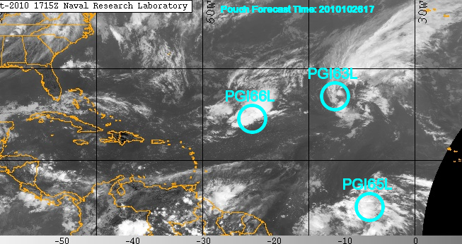
Invest90L way out in the eastern Atlantic about 1150 miles NW of the Cape Verde Islands has continued to linger around for a while but it is headed NNW and away from any landmasses.
PGI66L which is SW of 90L is a an upper-level low system. Both 90L and PGI66L will be encountering some upper level winds which will inhibit further development, either tropical or sub-tropical.
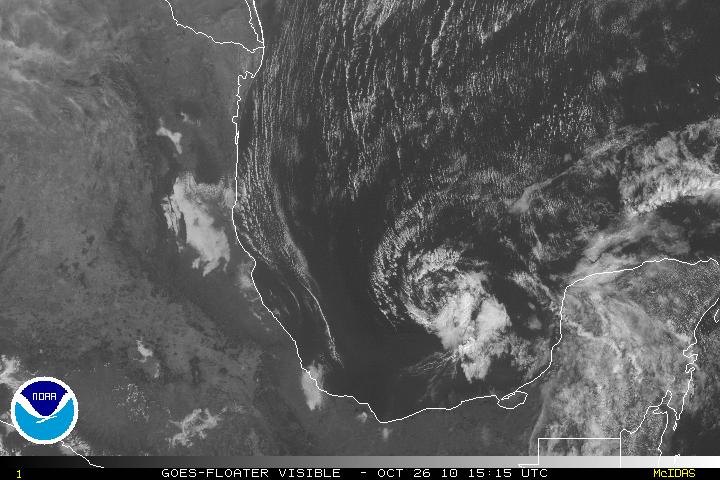
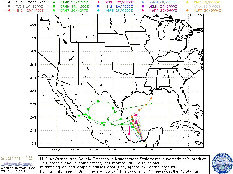
Invest 99L which has been lingering around the Southwestern Caribbean is finally beginning to move away from the coasts of Nicaragua & Honduras. With landfall interaction, it was impossible for 99L to even try to develop. Now that it has been been heading N or NNW it has a much better chance of developing. This is the time of the year where the models have problems and this may be the case with 99L. Many of the models at this time are not seeing any type development but the GFDL and HWRF does favor development. Whether 99L will be a Florida threat or not is a forecast that is so very difficult to answer, at least for the next few days. Hopefully, with a few hours or so we may have a better idea of what might happen as the reconnaissance flight is on it’s way. Just looking at the satellite presentation, it does look like there is circulation at the mid and upper levels but not yet at the surface. I am sure this is what recon will find.
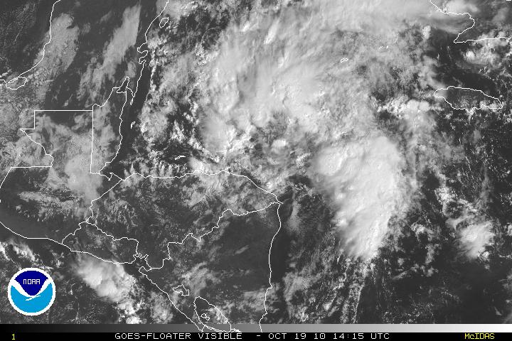
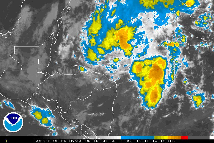
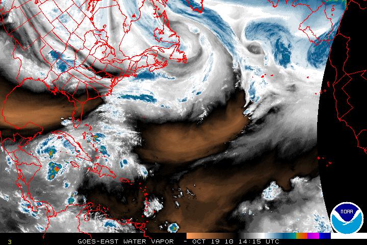
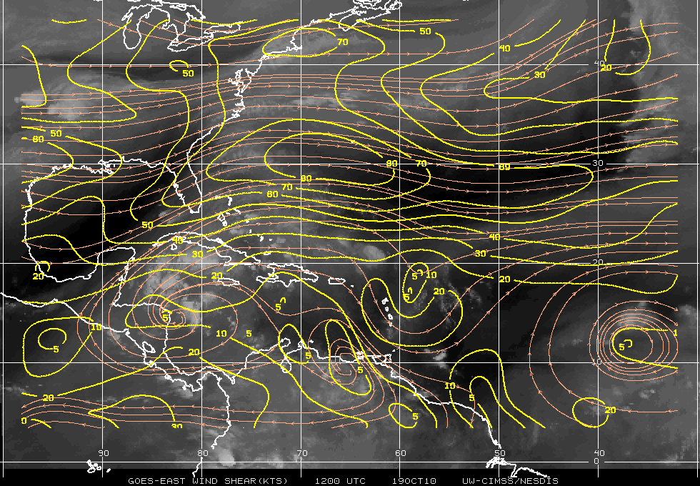
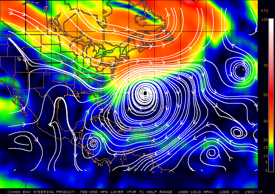
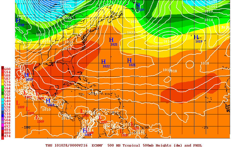
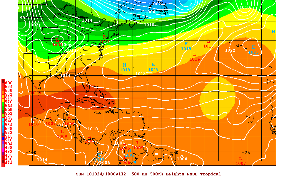
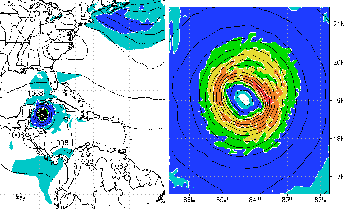
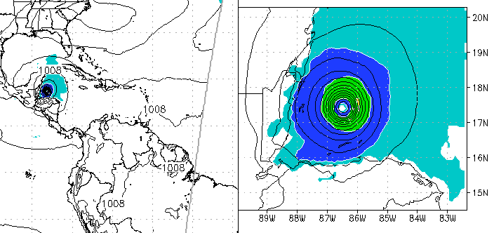
Below are the two models GFDL & HWRF which develop 99L into a hurricane. Only if shear abates, the high pressure system that will build after the trough has gone through and the high heads east and 99L lingers into the Southern Gulf of Mexico, then the chances for 99L to head to Florida as a tropical cyclone may increase but I doubt this will happen as there a just too many variables that have to work in unison.
Tropical Storm Paula
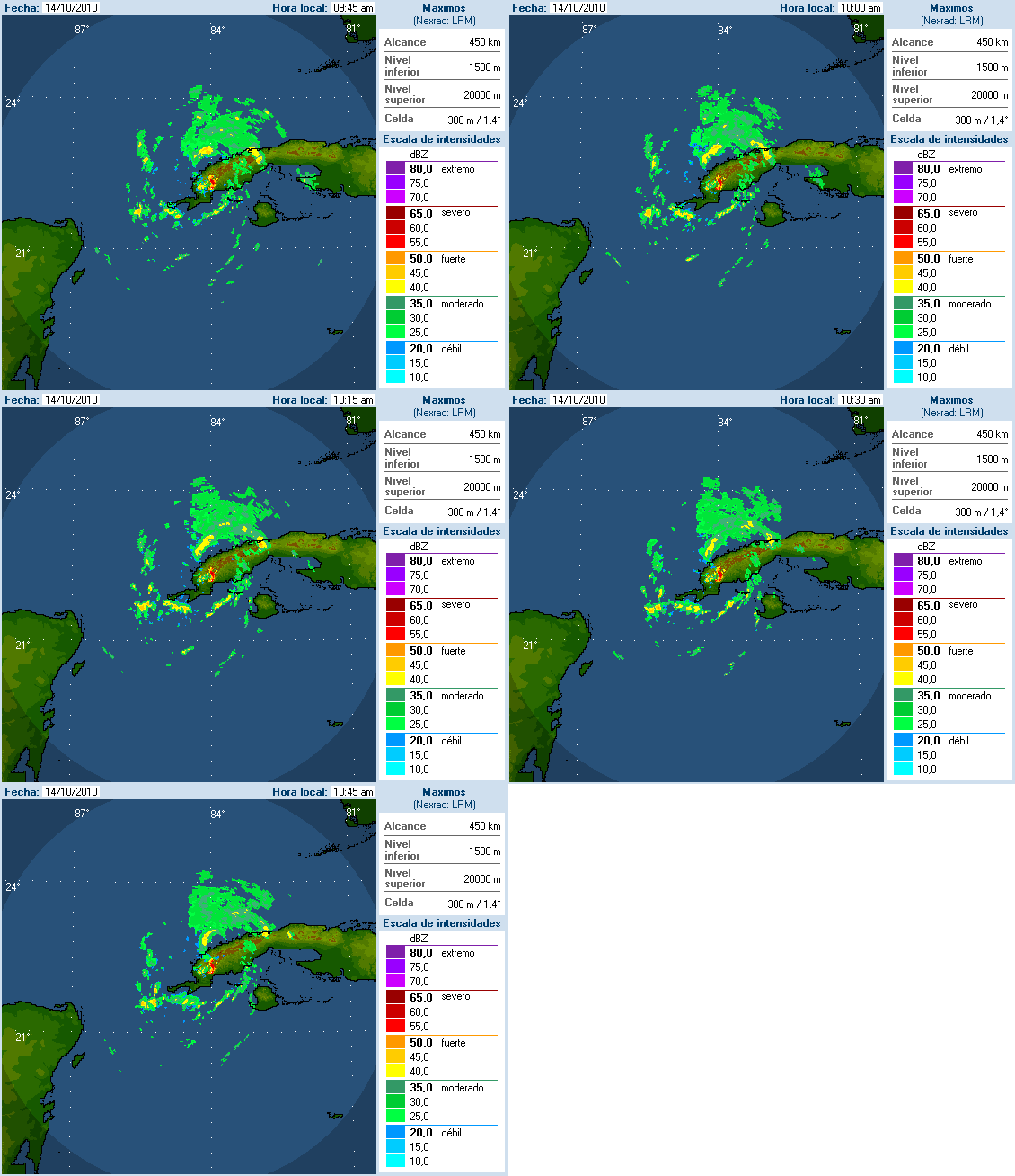
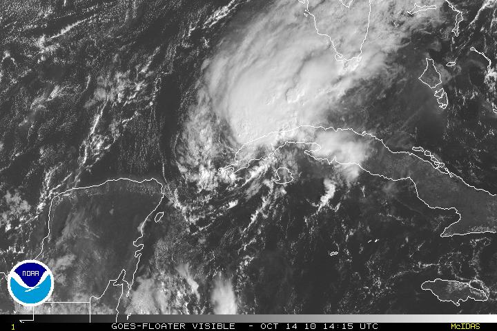
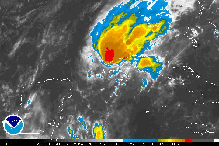
Hurricane Paula has been downgraded to Tropical Storm Paula as of the 11am advisory from the NHC. Tropical Storm Paula has been hugging the coastline of western Cuba and is beginning to shear apart. The decoupling of the different layers of the storm have been showing up on satellite for the last 8 hours or so. With southwesterly shear, dry air entrainment within the core of system, along with land interaction, Tropical Storm Paula will continue to fall apart and should be a Tropical Depression then just a remnant low pressure system even faster than forecasted – possibly within less than 48 hours.
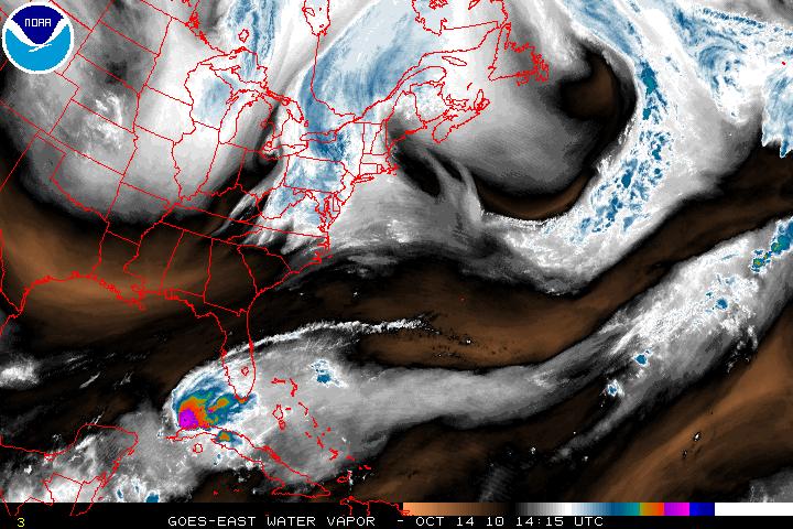
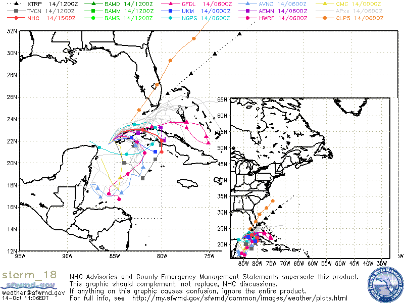
Invest 97L has now been upgraded to Sub Tropical Depression Seventeen as of the 5am advisory from the NHC. Although Sub Tropical Depression Seventeen is still classified as sub tropical, it is very close to becoming a tropical system. Again, the difference between a sub tropical versus a tropical system is that in a sub tropical system, the center if the system is cold core and the strongest winds are away from the center. In a tropical system, the center of the is warm core and the strongest winds are in the center. A warm core allow the venting of the storm to be pushed out at the top of the system.
There is an upper level low is within the area of where Sub TD Seventeen is but this is headed southeast and is forecast to weaken. This will allow Sub TD Seventeen to be in a more favorable area for strengthening. Along with warm waters and light shear, slow intensification is forecast and the transition from sub tropical to tropical is also forecast. Vertical shear is forecast in a few days so any strengthening will be halted at that time. The depression at the moment it headed NW and is being steered by the upper level low and a very large ridge in the Central Atlantic. The ridge is forecast to erode in a few days and a series of mid-latitude troughs that are near the SE US coast will force the depression on a NE track and away from any land masses.
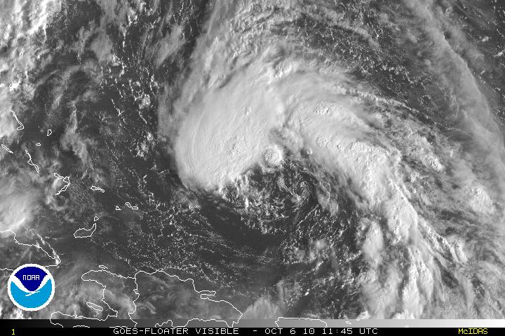
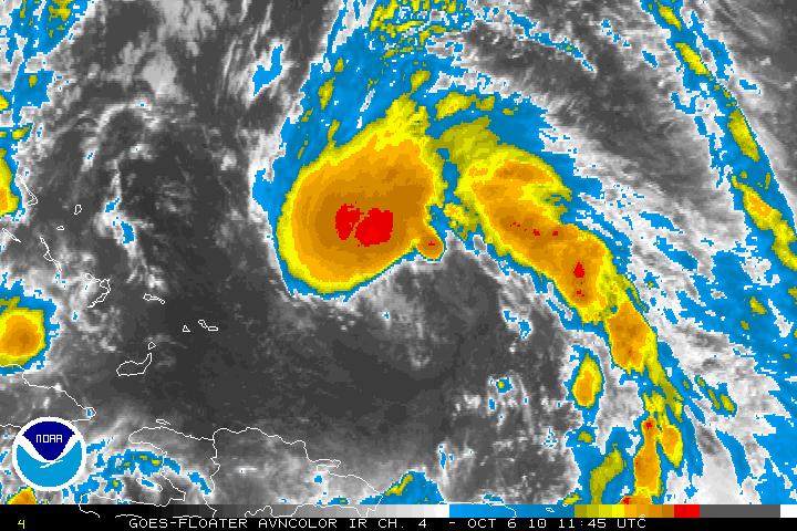
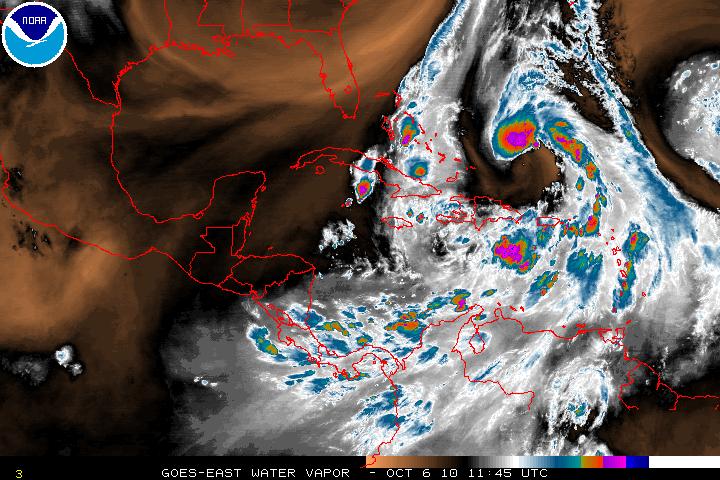
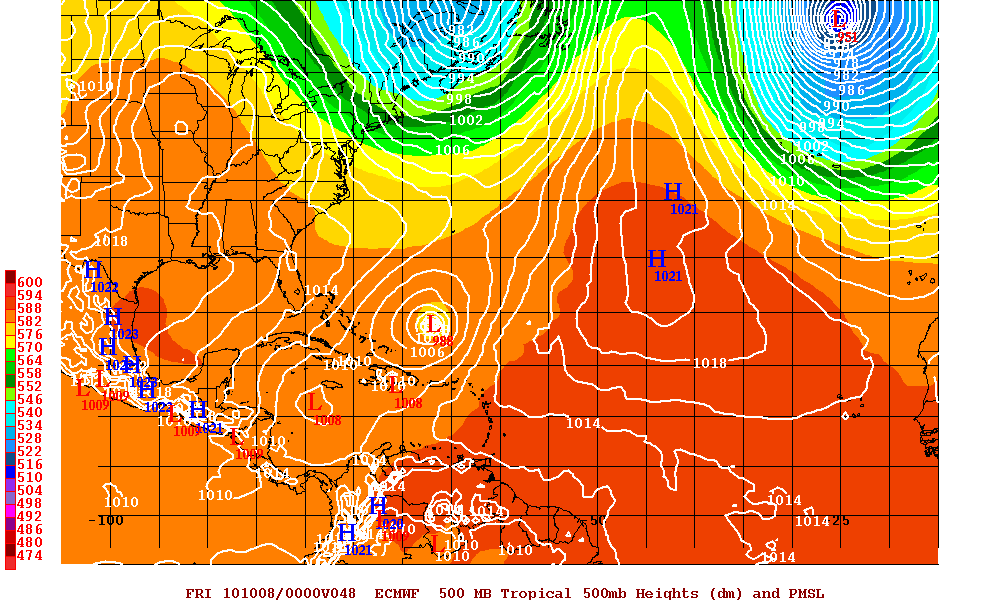
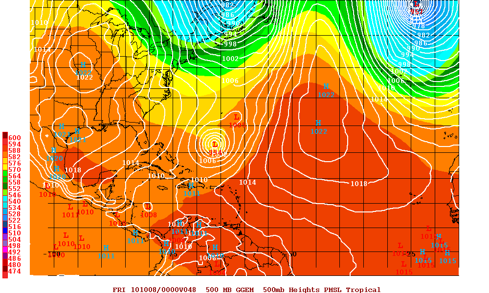
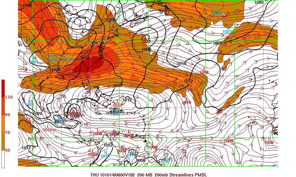
The GFS model along with Euro model are now forecasting a developing system in the western Caribbean. Whether the other models begin see this system or not, and even if the GFS and Euro models are correct, that system will be picked up and head over Eastern Cuba and then out to sea.
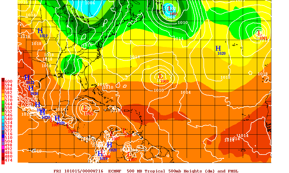
Tropical Storm Igor
Invest 91L has been upgraded to Tropical Storm status as of the 11AM Advisory. TS Igor came off Africa and was very healthy right from the beginning. Even before the upgrade, Igor had very good convection and the cyclonic turning was getting better each hour. At the present there is some easterly shear over Igor but shear will lift up and in a day or two the shear will be will then be light for a few days. This will allow intensification for days 2-4 and models are in agreement on this scenario. On day 5 shear is forecast to strengthen some and slow down further intensification.
A mid-level ridge in the eastern Atlantic is forecast to strengthen and this will keep TS Igor on a westerly track. This will also increase the forward speed of Igor. After a fews, a trough that is over the central Atlantic may cause the ridge to weaken and this may allow a more NW track. Beyond 5 days, any forecast would be prone to major error.
Tropical Storm Gaston
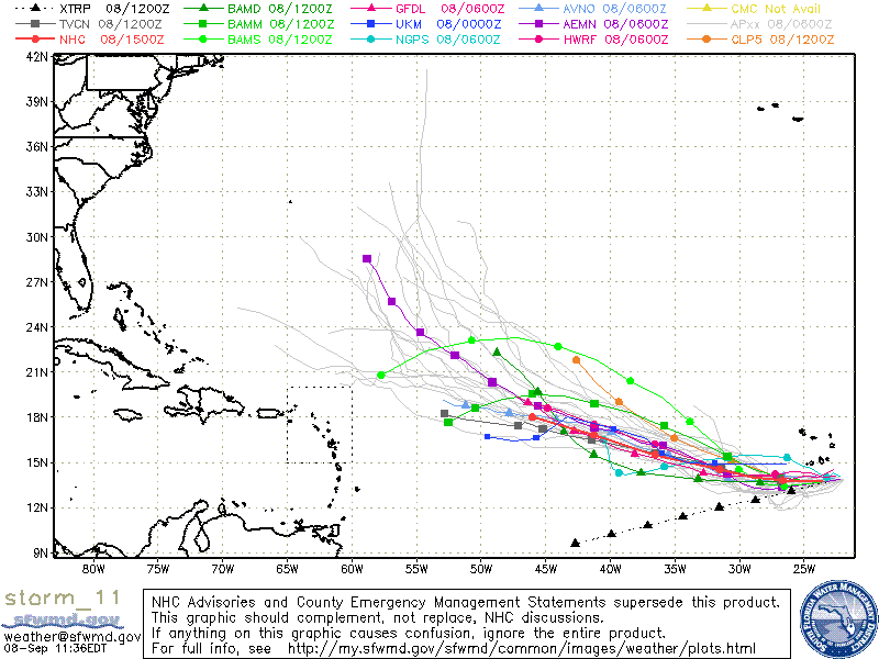
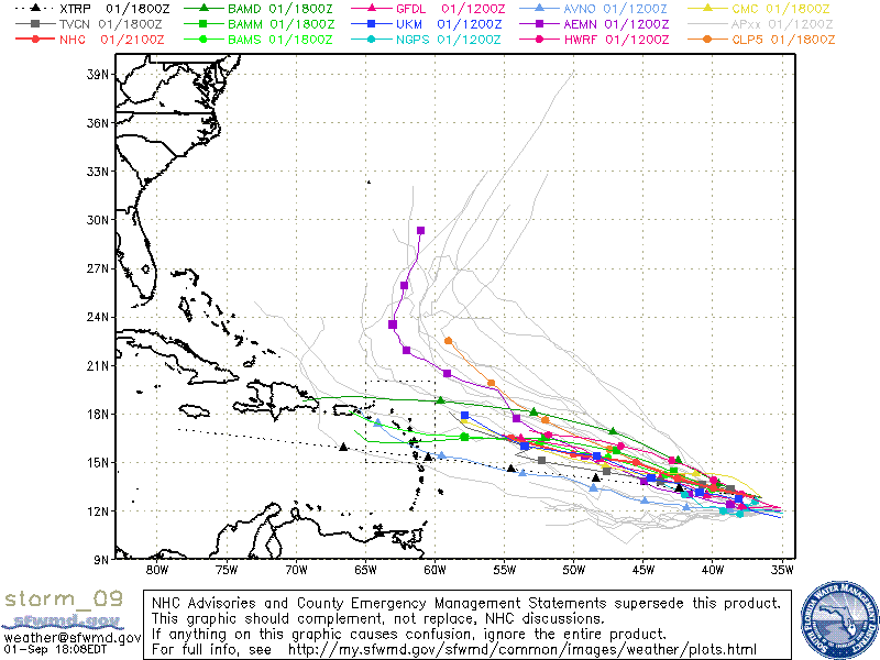
What a day! This morning the wave that was designated as Invest 98L then later in the morning it was then upgraded to Tropical Depression Nine has now been upgraded to Tropical Storm Gaston. I still believe that there will not be too much more intensification because of the the dry air to the north and west though there is little shear – it may but very little. See my previous post about TD Nine.
TD Five reborn?
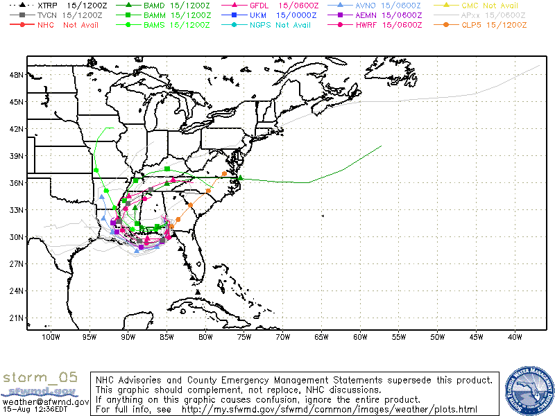
The remnants of Tropical Depression Five and had crossed into LA and moved across the Gulf states, now has a chance to redevelop as a depression again. The storm is headed south/south-westward and may develop as soon as Tuesday. Both satellite and Radar is showing a band of very intense thunderstorms.
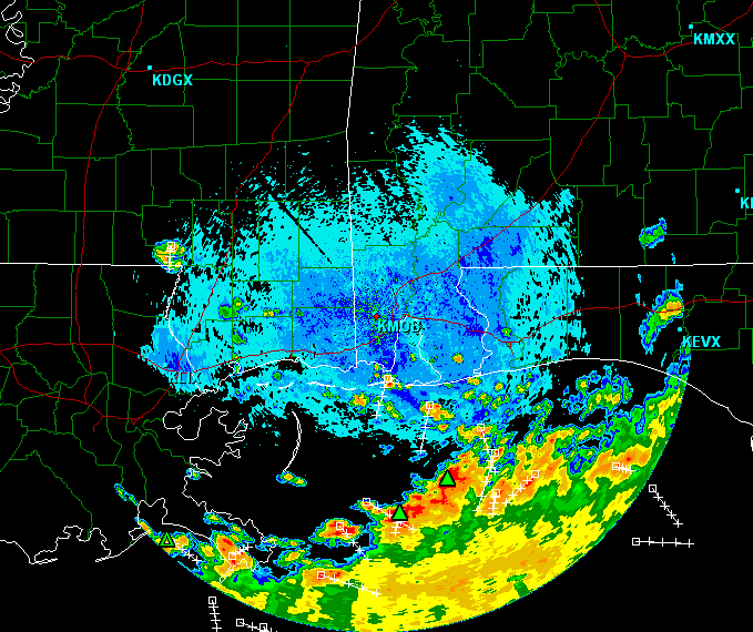
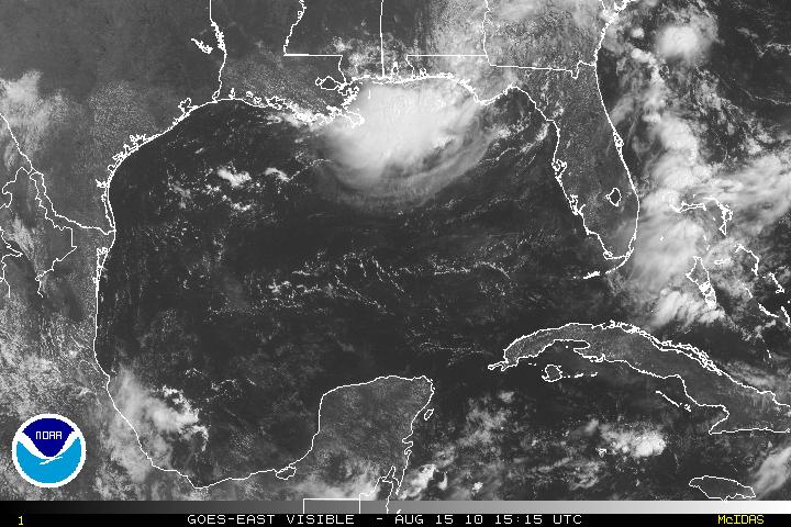
A few models are forecasting that the remnants of ex-TD Five will approach the Gulf coast and begin to develop to at least a tropical depression. If the storm is far enough into the warm waters, and enough time, it may have a chance to develop into a weak tropical storm. Shear is very low 5-15 knots and the regeneration of the storm should occur and if so landfall somewhere around Southeast Louisiana between late Tuesday or Wednesday.
