Categories
Tropical Weather

Hurricane Tomas

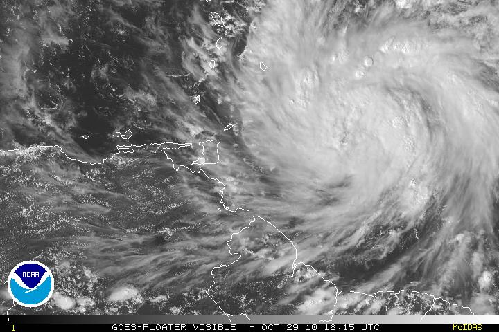
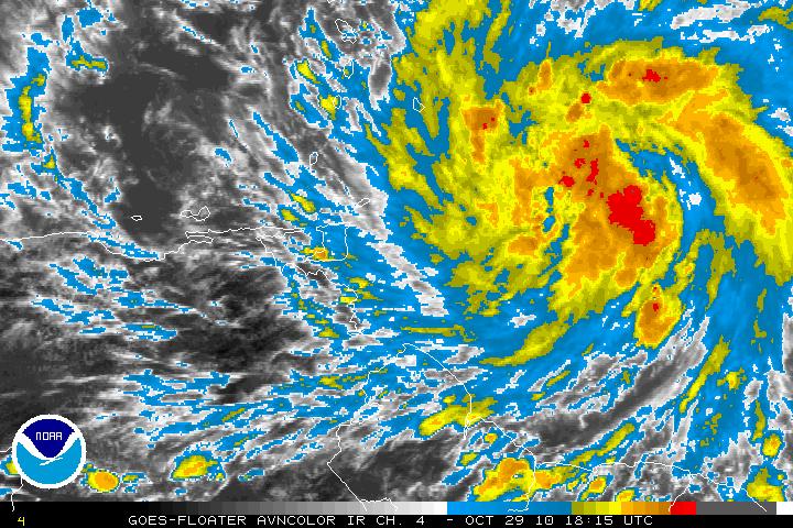
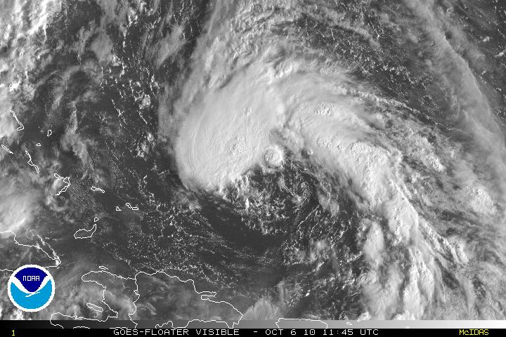
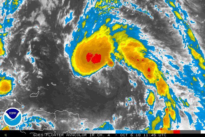
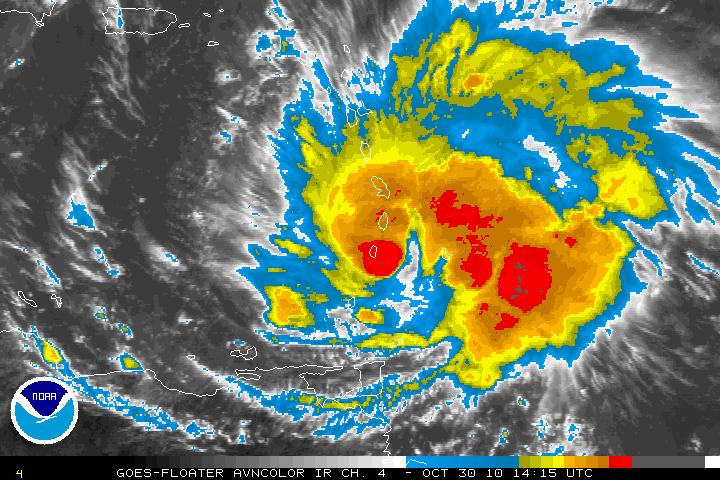
Tropical Storm Tomas has ben upgraded to Hurricane Tomas as of the 11am advisory from the NHC. Hurricane Tomas has had a very good presentation all morning. Hurricane Tomas is forecast to continue intensification and most models are forecasting that Tomas will be a major hurricane of at least category three.

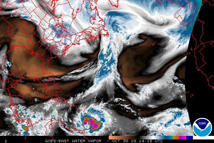
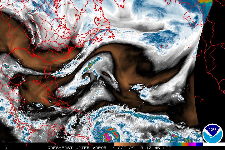
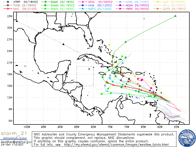
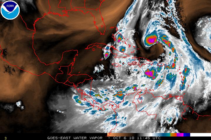
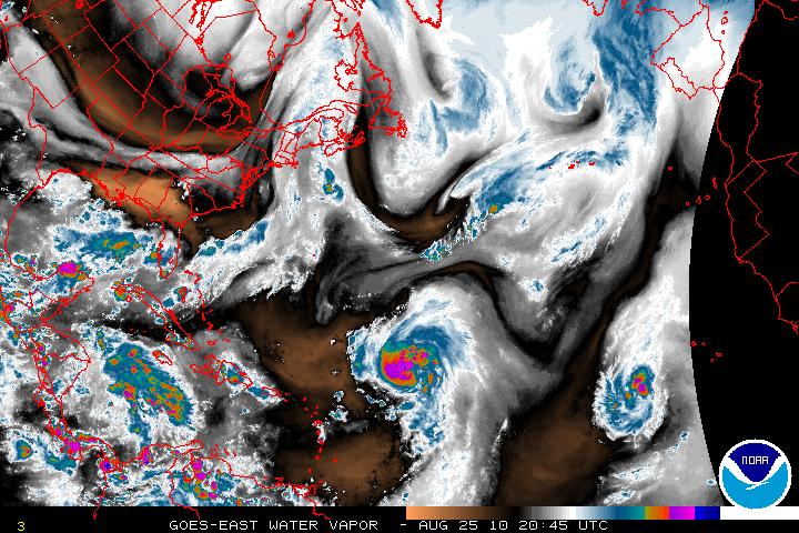
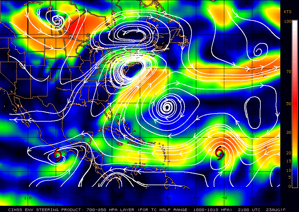
The Mid-Layer trough that is taking Hurricane Shary rapidly to the NE is the same trough that is heading NE away from the Caribbean and the mid-level ridging north of Tomas has begun to build. Low to Mid level ridging is forecast by all the global models for at least the next 72-96 hours and building westward across Lesser and Greater Antilles. This will keep Tomas on a westward track for at least the next 2 days. A few days later, a broad mid-tropospheric trough that is currently located along the US west coast is forecast to move eastward into the Central US then it is forecast to dig southwestward into the Gulf of Mexico. This will erode the Western portion of the ridge and significantly weaken the steering currents in the western and central Caribbean Sea. This will force Tomas on a northward track. Exactly when the turn will happen is unclear. Some models want to wait then turn Tomas between Eastern Cuba and Haiti where other models want to turn Tomas earlier and have Tomas turn near Hispaniola.
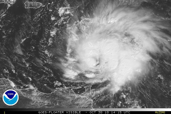
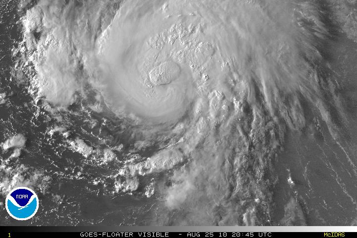
Visible Satellite image of Hurricane Tomas
AVN Satellite image of Hurricane Tomas
Water Vapor Satellite image of Eastern US and Western Atlantic/ Tomas
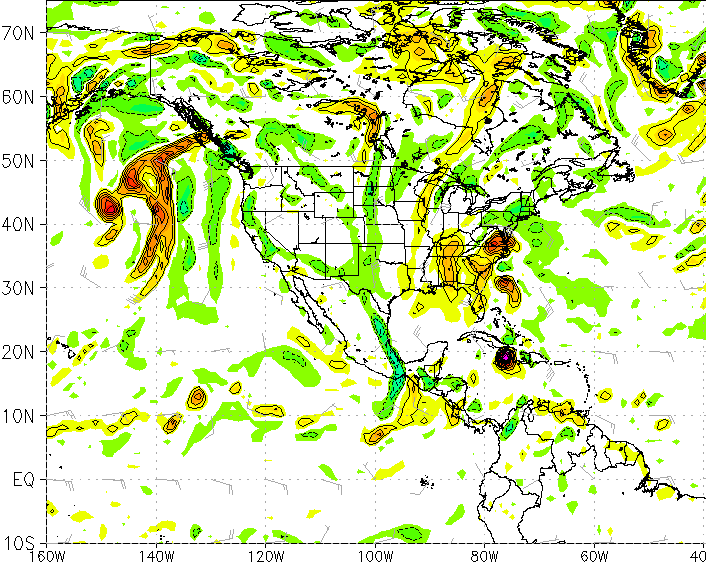
Canadian Model at 120 hours
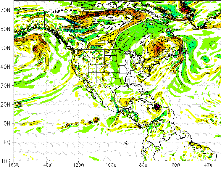
GFS Model at 160 hours
Categories
Tropical Weather

Tropical Storm Tomas

Invest 91L has been upgraded to Tropical Storm Tomas as of the 5PM advisory from the NHC. Earlier today, the reconnaissance plane had found that a closed surface circulation was forming and on the way to becoming a tropical storm. TS Tomas is expected to continue slow strengthening and may become a hurricane by Sunday. There is the possibility that TS Tomas may become a major hurricane later in the forecast period.

The models now are forecasting that TS Tomas will continue to head WNW for at least the next 72 hours. The broad trough over the US is now expected to pull out, and this will leave a ridge to build over Tomas and all the way to Florida. Later on, a second and much deeper trough will begin to dig southward into the Southeastern U.S. and this will cause the ridge and all the steering flow to weaken. This will cause Tomas to sharply decrease the forward speed in about 120 hours. It is too early to call whether Tomas will bypass the trough and continue heading WNW or whether the trough will begin to force TS Tomas to head NW then North or not.

NO MATTER where TS Tomas heads, all interests should keep advised of the location that Tomas is heading, especially if he becomes a major hurricane.

Visible Satellite image of TS Tomas
AVN Satellite image of TS Tomas
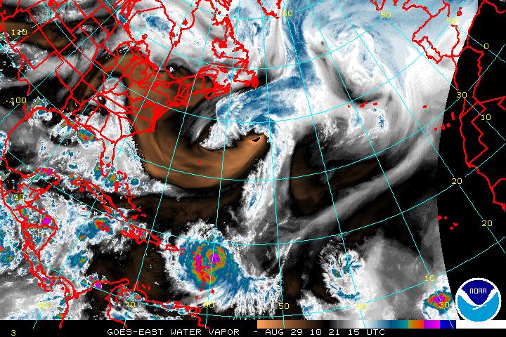
Water Vapor Satellite image of US & Western Atlantic
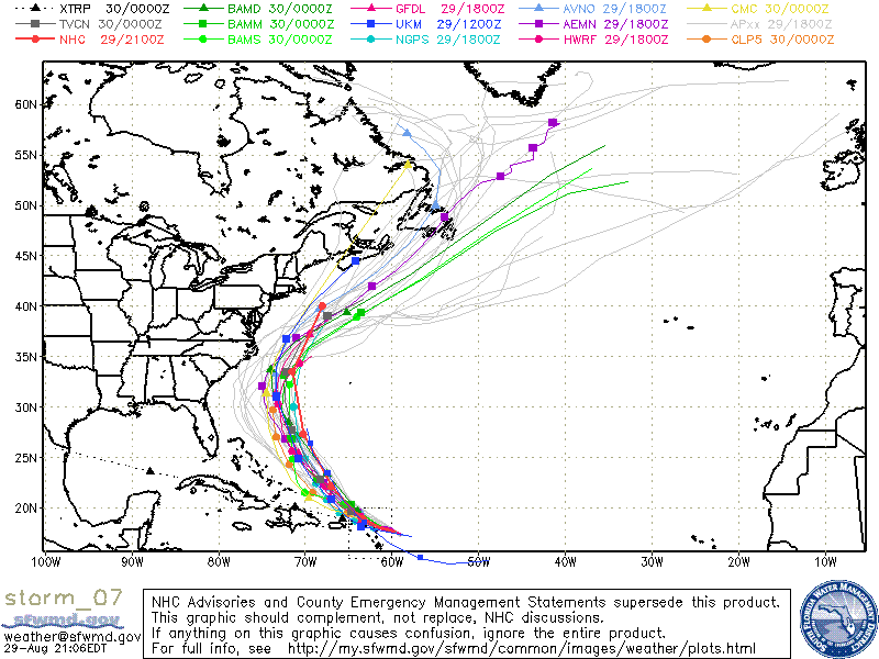
Models for TS Tomas
Categories
Tropical Weather

Sub Tropical Depression Seventeen

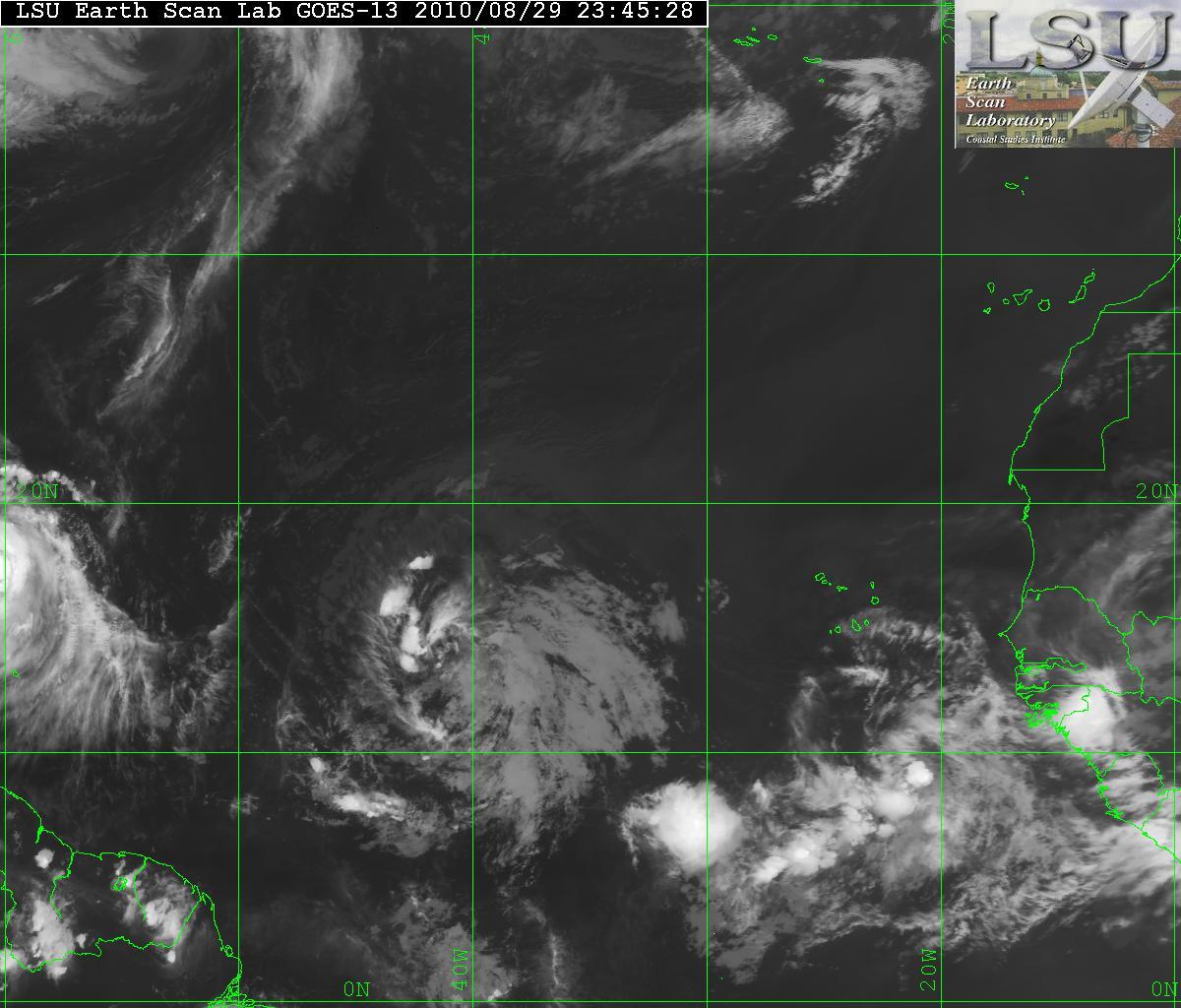
Invest 97L has now been upgraded to Sub Tropical Depression Seventeen as of the 5am advisory from the NHC. Although Sub Tropical Depression Seventeen is still classified as sub tropical, it is very close to becoming a tropical system. Again, the difference between a sub tropical versus a tropical system is that in a sub tropical system, the center if the system is cold core and the strongest winds are away from the center. In a tropical system, the center of the is warm core and the strongest winds are in the center. A warm core allow the venting of the storm to be pushed out at the top of the system.

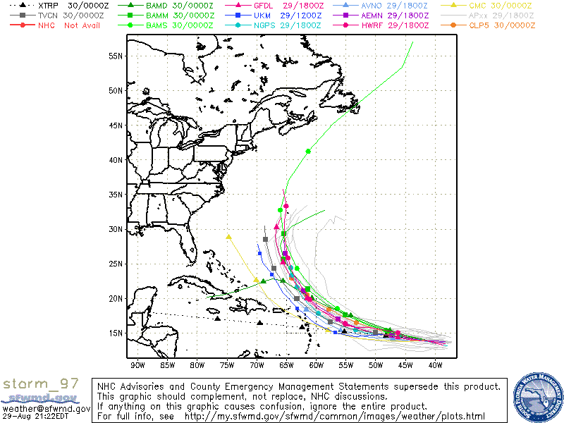
There is an upper level low is within the area of where Sub TD Seventeen is but this is headed southeast and is forecast to weaken. This will allow Sub TD Seventeen to be in a more favorable area for strengthening. Along with warm waters and light shear, slow intensification is forecast and the transition from sub tropical to tropical is also forecast. Vertical shear is forecast in a few days so any strengthening will be halted at that time. The depression at the moment it headed NW and is being steered by the upper level low and a very large ridge in the Central Atlantic. The ridge is forecast to erode in a few days and a series of mid-latitude troughs that are near the SE US coast will force the depression on a NE track and away from any land masses.

Visible Satellite image of Sub TD Seventeen
AVN Satellite image of Sub TD Seventeen
Water Vapor Satellite image of Western Atlantic/Sub TD Seventeen
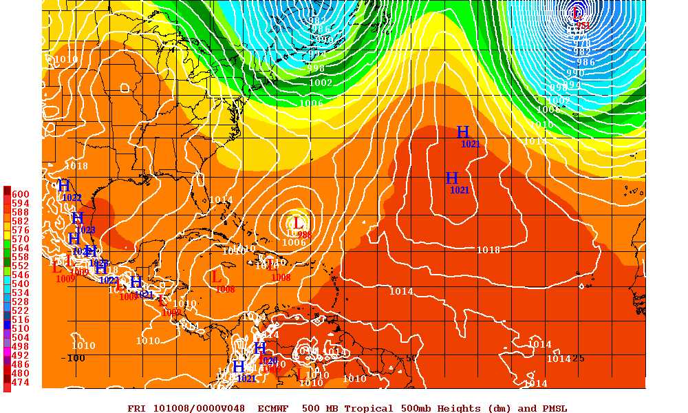
Euro Model at 48 hours
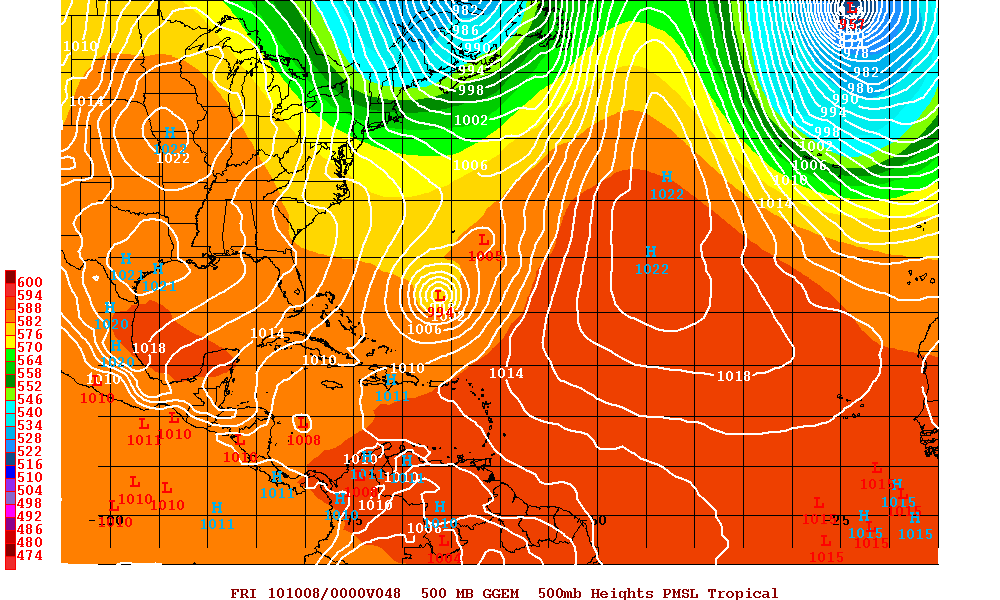
Canadian Model at 48 hours

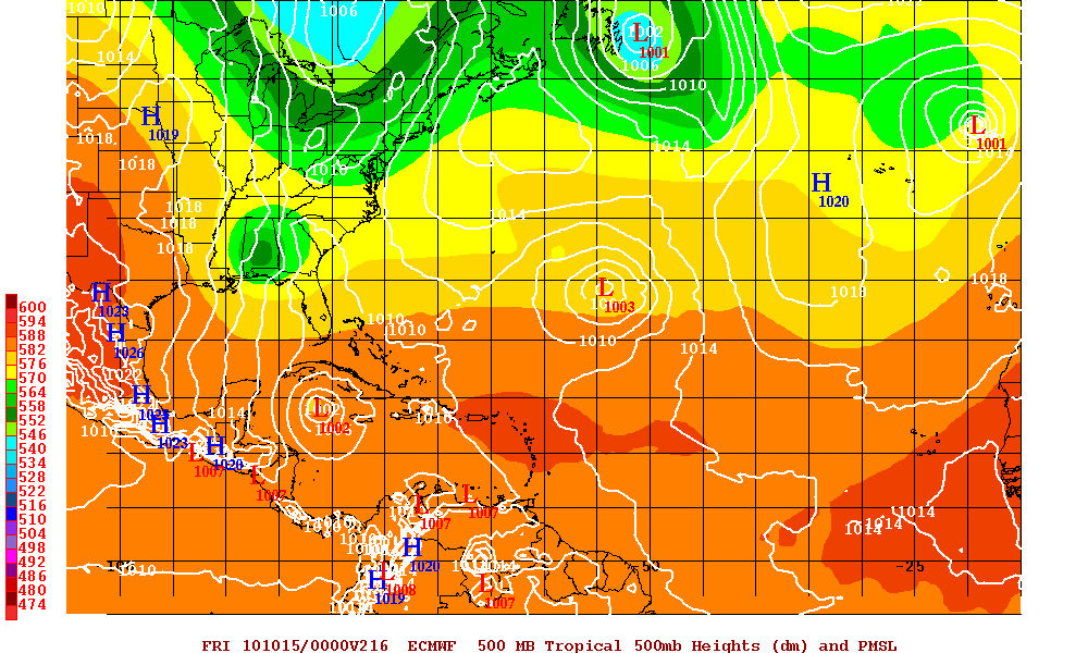
The GFS model along with Euro model are now forecasting a developing system in the western Caribbean. Whether the other models begin see this system or not, and even if the GFS and Euro models are correct, that system will be picked up and head over Eastern Cuba and then out to sea.

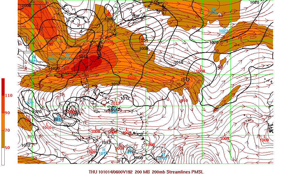
GFS Model at 192 hours
Euro Model at 216 hours
Categories
Tropical Weather

Tropics Are Hot

As Hurricane Danielle begins to lose strength and in a few days there will be the transition from tropical to extratropical.
In the meantime, there is Hurricane Earl which will be in a very favorable upper level environment as the shear will be extremely low and the SST’s will be very hot. The forecast is for Earl to become the second major hurricane in 36-72 hours. Although there is some slight differences in the models, they all have Earl making a NW turn and then N. I feel the model track will probably have to be adjusted left of the forecast now, and this brings Earl much closer to the southeast coast of the U.S. This may possibly have the clean side of Earl affecting those from N. Carolina upward to Long Island.

Models for Hurricane Earl
Water Vapor of all three systems

Invest 97L has had a lot of shear but has an excellent cyclonic turning but very little convection. I do not think the models have a grasp on Invest 97L being that it is not even be classified as a depression yet. The models at the moment are forecasting that Invest 97L will turn NW and then N because of a weakness in the ridge. Although a stronger Hurricane Earl would help keep the ridge open a little longer, I don’t see this happening. 97L has been on a westward track and probably will stay that way longer than the forecast then there will be a NW turn. The European model is forecasting that Invest 97l will be a hurricane with landfall somewhere in the central Florida coast but this model has had some problems this year. I believe once 97L has gotten to around 50° W longitude – we will have a better idea where 97L will be headed.

Satellite image of Invest 97L
Models for Invest 97L

Now after all that, there is a new disturbance that has just come off the coast of Africa. This one at the time shows no development but this is the time of year for all these waves to possibly develop quickly.

Categories
Tropical Weather

Tropical Weather Trains

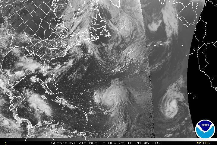
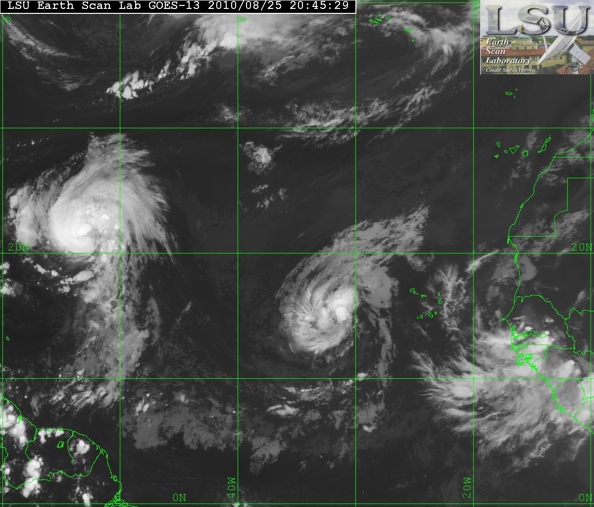
The tropics are now in full throttle and as of today we have Hurricane Danielle, Tropic Storm Earl, and a new wave coming off the coast of Africa. Those three systems are all from Africa and are what is called Cape Verde type systems. There is also a low pressure system in the Gulf of Mexico but nothing tropical at this time.

Visible Satellite of Danielle & Earl
Satellite Image of Danielle & Earl
Water Vapor Satellite image

Hurricane Danielle
During the night, Danielle had lost some of its strength and was downgraded to a Tropical Storm but it has gradually gotten better and is now back to Hurricane status. Danielle is headed NW and soon will slow down it forward speed. Danielle is expected to make a northward turn within 48-72 hours. Danielle has a very good CDO, but there is a little southwestward upper level winds entering the core of the system but will be relaxing very soon.

Visible Satellite image of Danielle
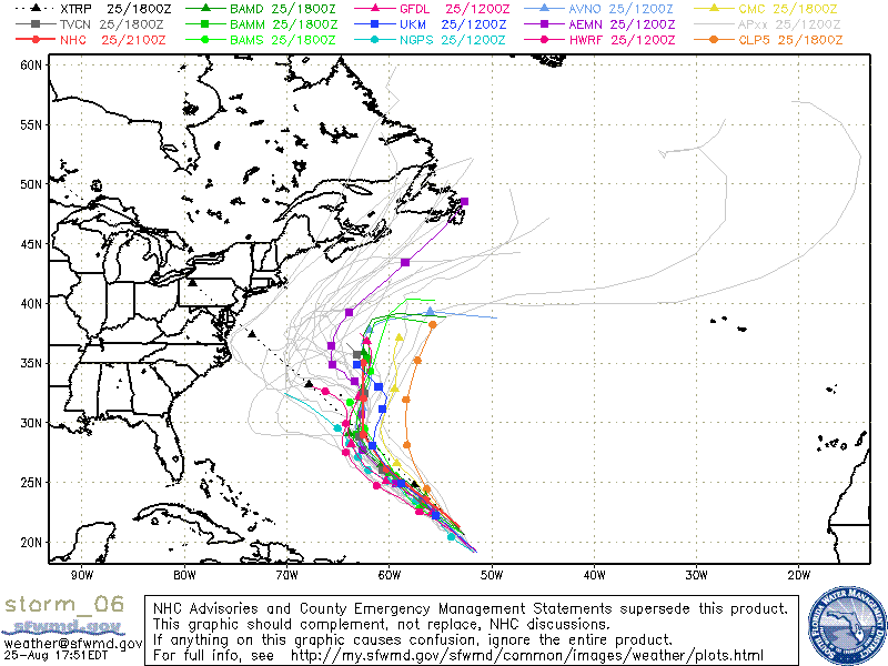
Models for Hurricane Danielle

Tropical Storm Earl
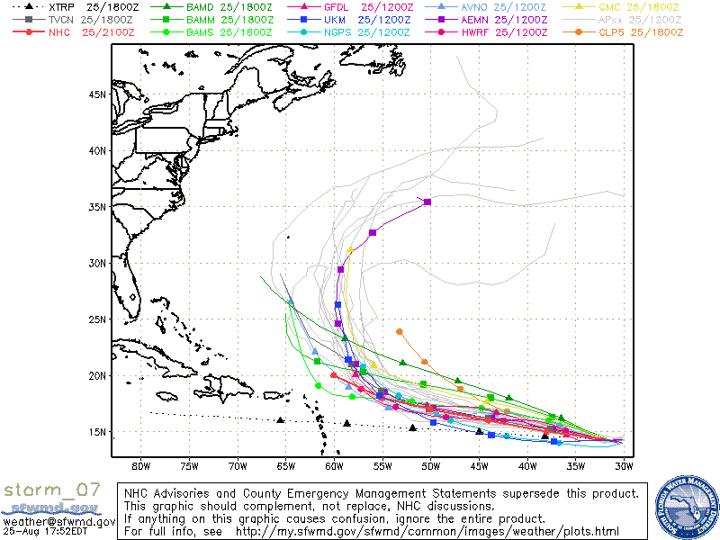
Tropical Depression Seven has been upgraded to Tropical Storm Earl. TS Earl has been gaining strength during the day and is forecast for gradual strengthening and be a hurricane in about two days. Earl has been on a somewhat westward direction and should continue this track for about 3 or 4 days. Earl has been taking the same track as Danielle and whether or not the cooling of the churned seas from Danielle will affect the strengthening is still up the air. The models do want to take Earl on a NW track in about 5 days. This is all going to depend on how strong Danielle will be for the next couple days. A strong Danielle will help keep the ridge and allow Earl to head northward. If Danielle stays as a minimal hurricane or tropical storm, the ridge might close up thus making a more W to WNW track. I feel the models have not grasped what Danielle strength will be, and the forecast might be off. I hope I am incorrect and Earl heads out to sea and with no one in his sights.

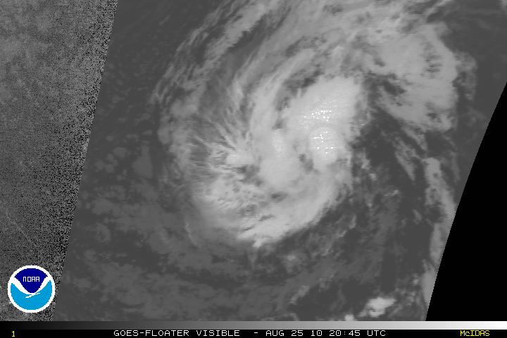
Visible satellite image of Earl
Models for Earl
Categories
Tropical Weather

Invest 96L

The latest tropical wave that has exited of the coast of Africa has now been designated as 96L. This system has been showing signs of organizing and is expected to become a least a tropical depression within the next few days. This wave is following Hurricane Danielle but it is far away enough so that the two don’t interact each others flow.

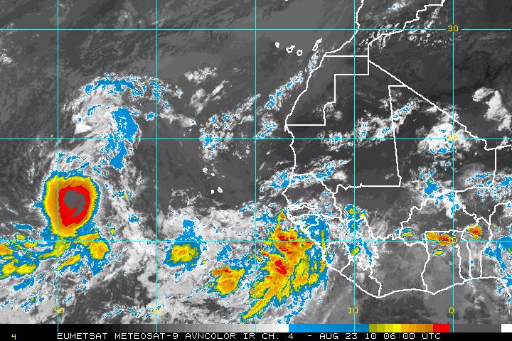
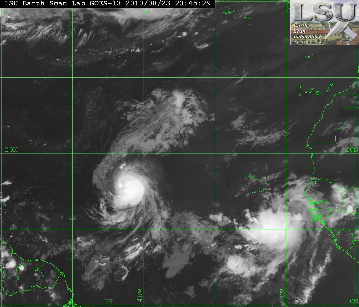
AVN satellite image of Hurricane Daniellle & Invest 96L
IR satellite image of Hurricane Danielle & Invest 96L
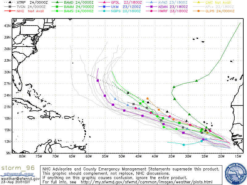
Models for 96L

Although the models seem to have 96L following the path that Hurricane Danielle – it is a little early to have that in stone. The forecast for Hurricane Danielle is simple. Danielle will be picked up by a large trof from the the east coast of the US due to a weakness in the ridge. That will allow Danielle to be head NW then NNW and away from the US coast and probably Bermuda. The caviate is that once Danielle is picked up by that weakness in the ridge, later the ridge MAY build back and that may not allow 96L to be picked up. It’s just to early to see what will happen. If it is not picked up, then the East coast of the US may be affected.

Steering Layer