There are several tropical systems to monitor.
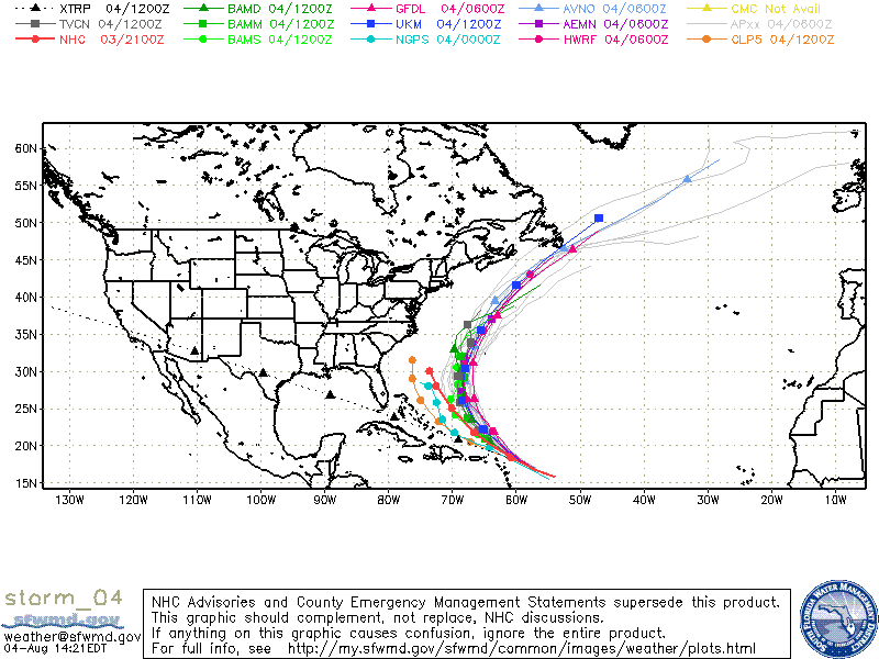
Ex -TS Colin who degenerated to an open wave yesterday is still struggling but is holding it’s own. Colin fell apart due to the wind shear and the remnants are just now north of Lesser Antilles Islands. Wind shear is very high, between 20-25 knots, yet the latest satellite imagery is showing the heavy thunderstorm activity has increased. The remains of Colin is in an area that is unfavorable for any re-development. Colin will soon be under an upper-level low with plenty of dry air and high wind shear.
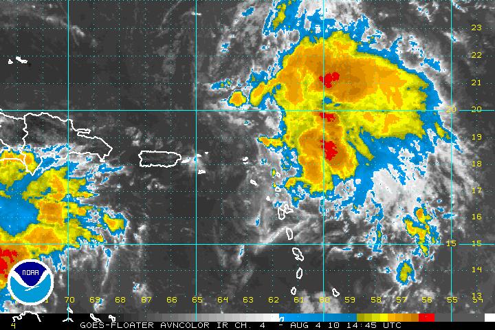
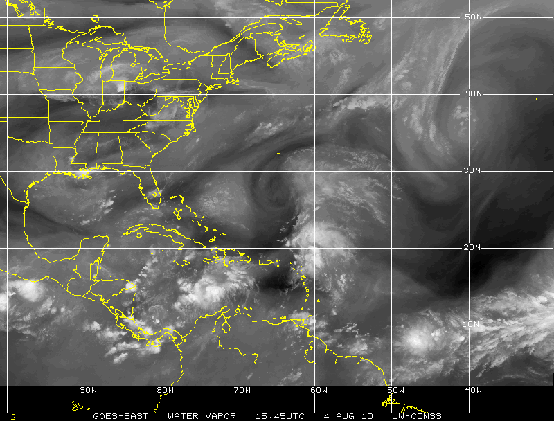
The latest SHIPS model forecast is a dropping of the wind shear from the 15-25 knots down to a 15-20 knot by sometime Thursday or Friday. The major models do predict that Colin will redevelop in the next 3- 4 days. What status Colin will be is still unclear. Tropical Storm is the highest it should attain but that is pushing it. A major trough of low pressure will be moving off the East coast of the U.S. and that trough will “pull” Colin to the Northwest and later out to sea. It may get close to Bermuda possibly sometime Saturday or Sunday. The reconnaissance plane has gone out late today and found that the remains of ex-Colin does not have a closed surface circulation, however they did find tropical force winds in the northeastern quadrant.
Invest 92L
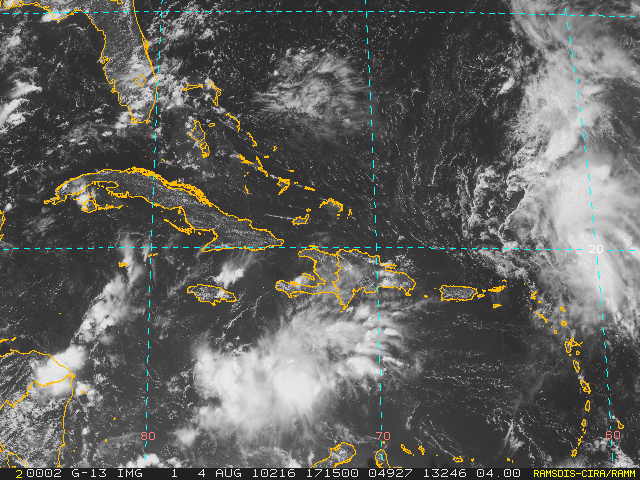
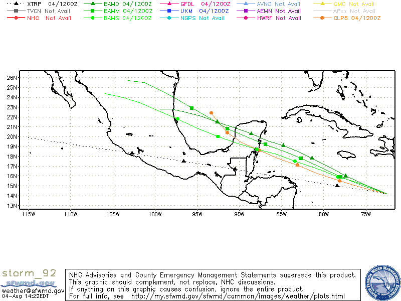
Invest 92L was designated late yesterday. Invest 92L is located in the Caribbean, south of eastern Cuba and Haiti around 16° N – 72° W moving westward at 15-20 mph. The wave is over warm water with very low wind shear. There is some indication that it could develop in the next few days but is is moving very fast and maybe not have enough time to develop into a tropical depression. If it keeps the westward track it should come ashore over Nicaragua/Honduras.
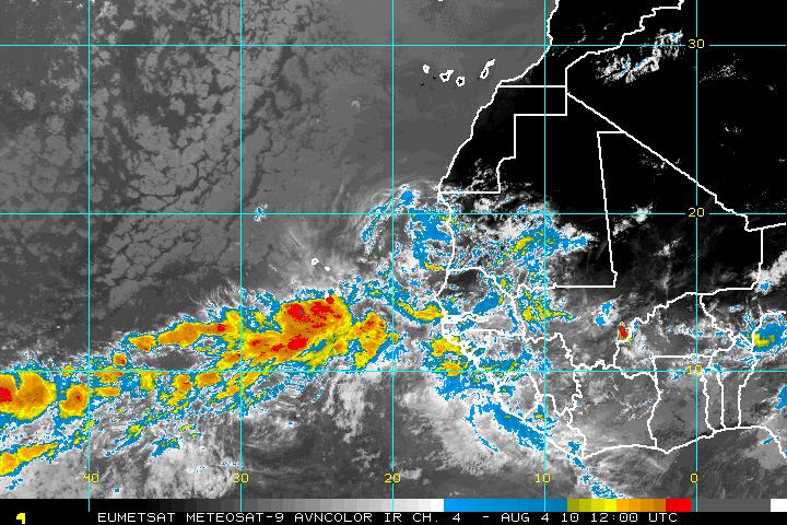
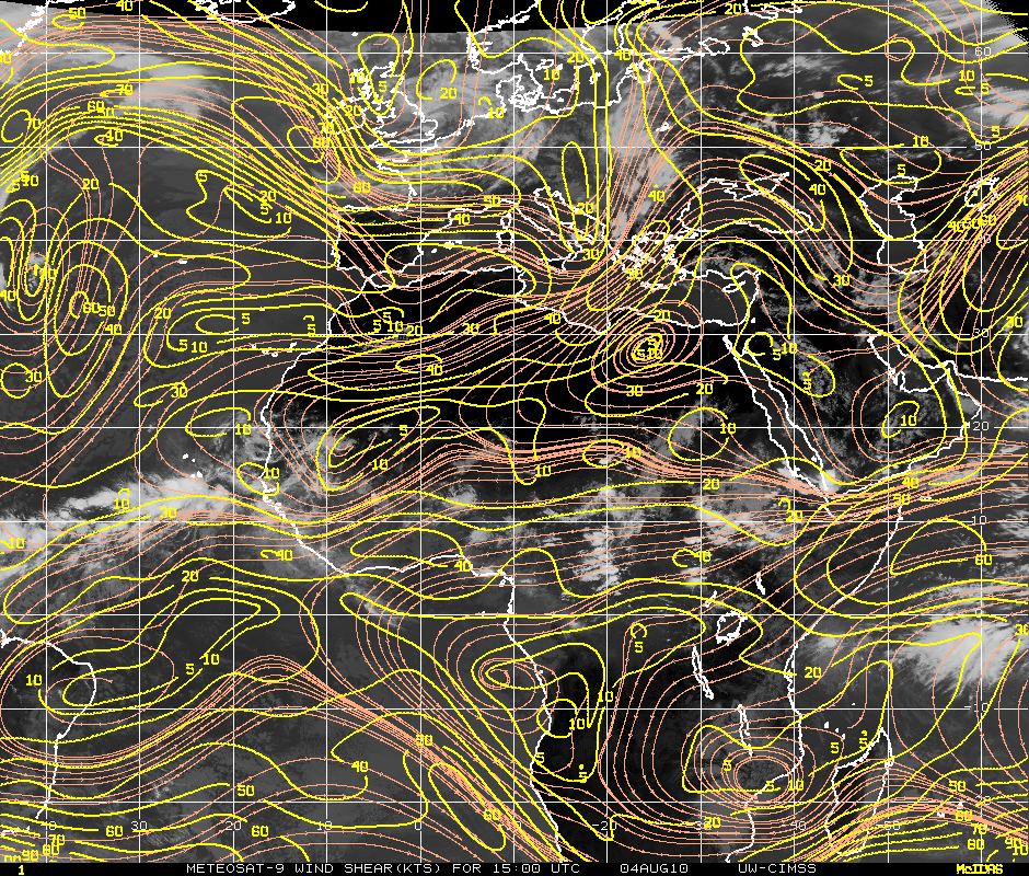
And last on the list is a new system that has just come of the coast of Africa. It has very good cyclonic turning as it heads westward. This system may have problems with both moderate amounts of SAL and as it heads westward it will encounter some wind shear of 20-30 knots.
