Categories
Tropical Weather

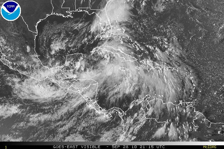
TD Sixteen – a ragged system.

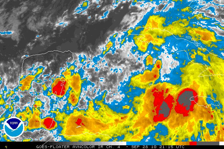
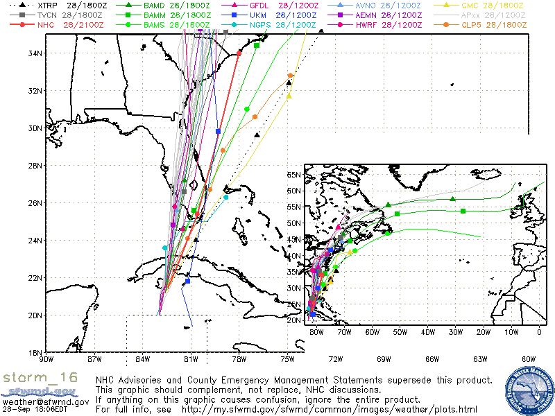
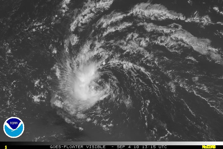
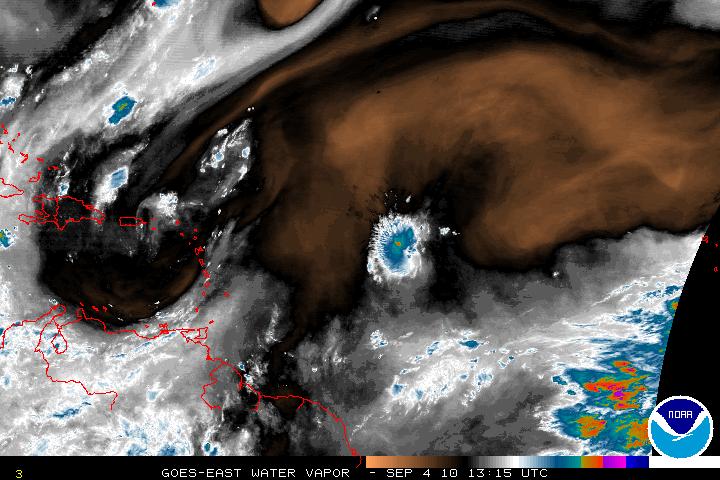
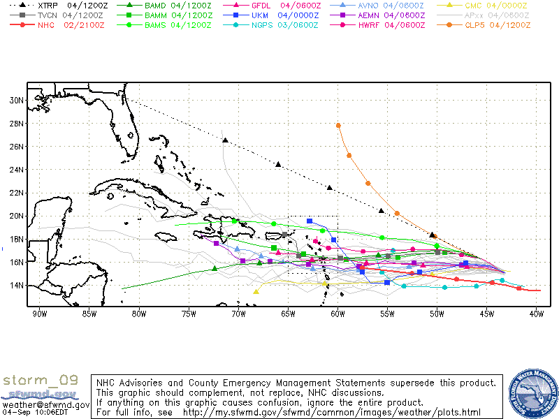
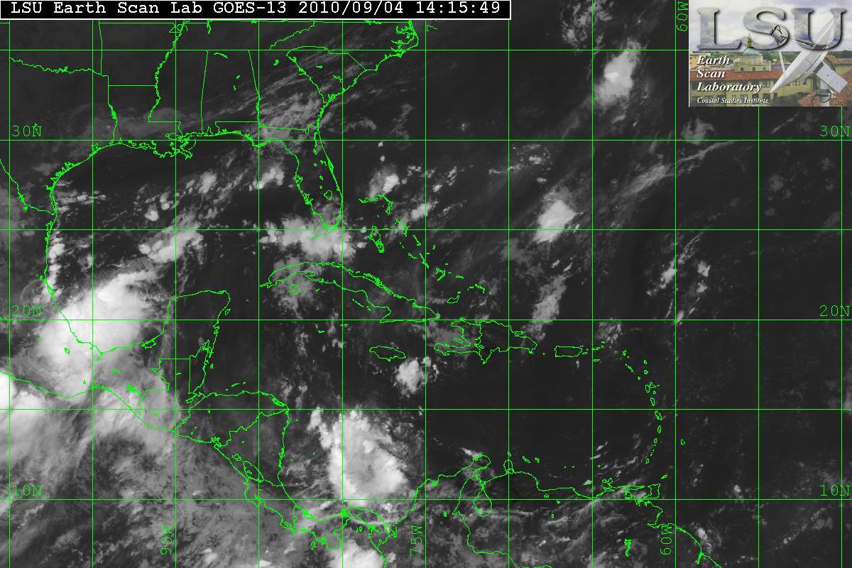
After the Hurricane Hunter recon plane went through TD Sixteen, it was found that the LLC was very broad with light winds of 20 knots or so (about 23 MPH) and the pressure was uniform over a long range. A normal system would have lower pressure within the center. Definitely not a typical cyclone. The forecast is that TD Sixteen may become a Tropical Storm either tonight or tomorrow. After 36 hours or so, the window will be closed for any further intensification as a large mid – to upper level trough that is digging down the southeastern US coast will keep intensification down. Some models are forecasting that TD Sixteen will become extratropical within 36-48 hours. The track of TD Sixteen has been shifted slightly to the west. UNLESS the structure of TD Sixteen improves and starts to tighten up, most of the strongest winds and rain will be east of the center and will be offshore away from the coast of Florida.
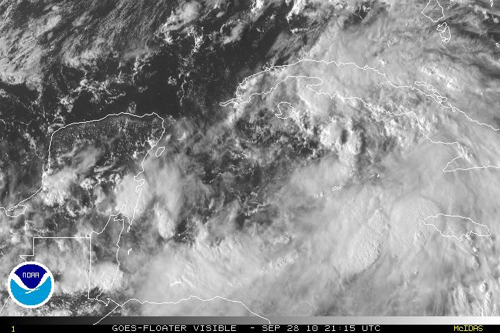
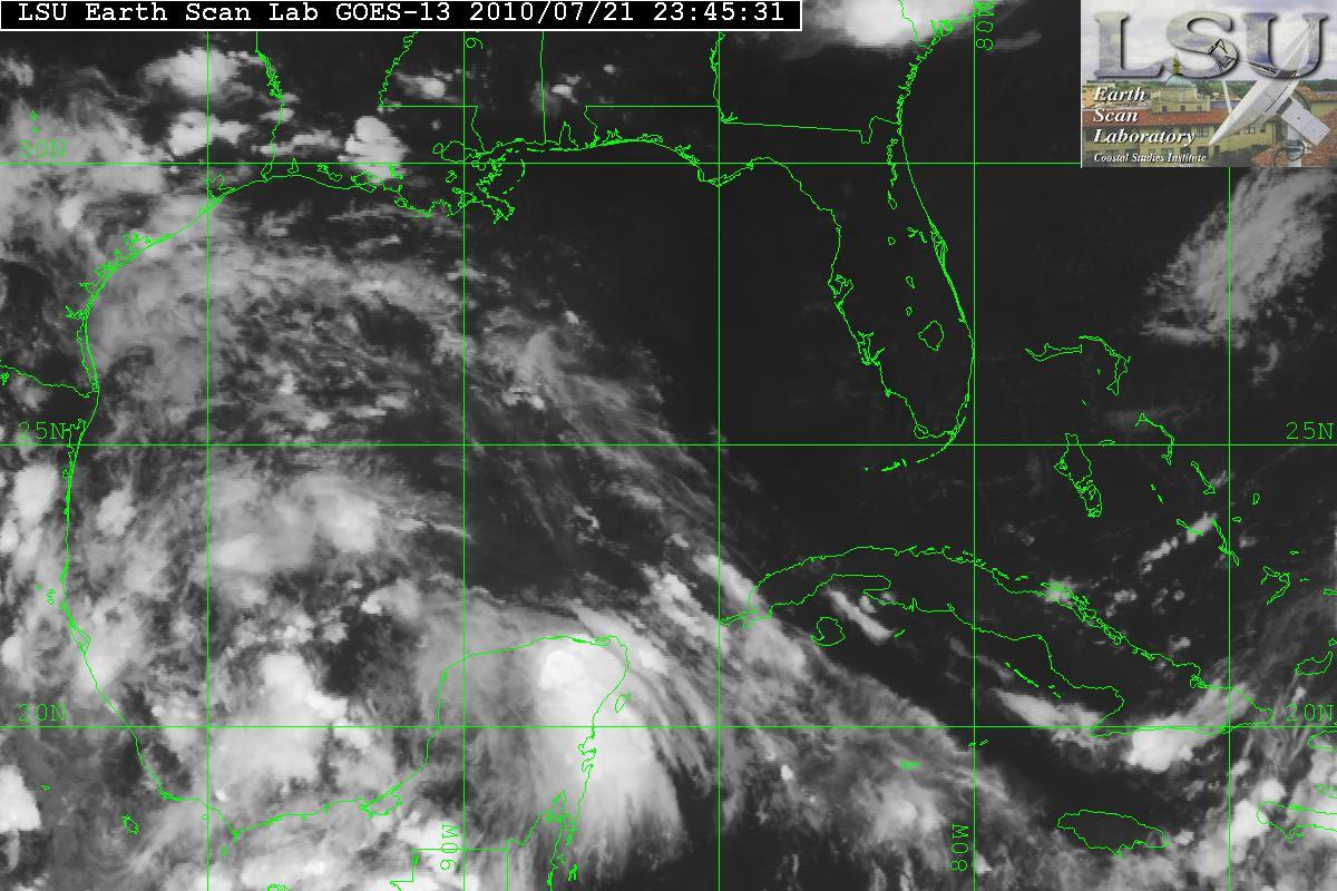
Visible Satellite image of TD Sixteen
Visible Satellite image of TD Sixteen/Cuba/Florida
AVN Satellite image of TD Sixteen
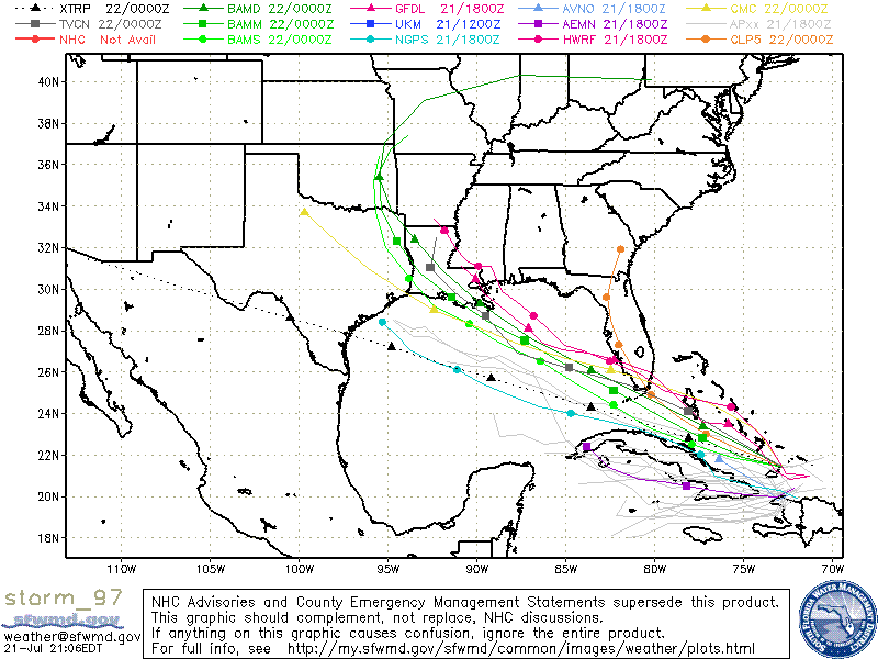
Models for TD Sixteen
Categories
Tropical Weather

Earl, Ex-Gaston, Invest 99L…

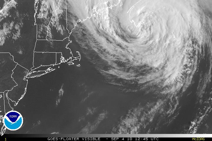
Tropical Storm Earl has been bearing down on Nova Scotia with winds of 70 MPH, and the center is now inland and within 24-36 hours will be a post-tropical/extratropical system.

Satellite image of Earl

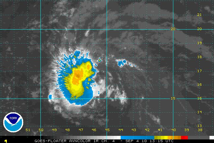
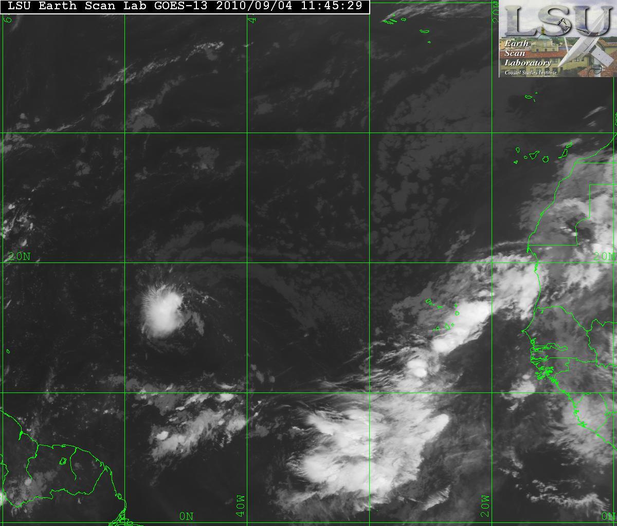
Ex-Gaston has continued to look somewhat healthy although the convection is west of the center but it is trying to redevelop back to a tropical cyclone. With the exception of some dry air, the environment will be favorable for continuing development and the forecast for Gaston is to become at least a Tropical Storm if not a Hurricane within the next few days. There is a TUTT in the area of PR and will continue to head SW and that will help develop an anticyclone that will possible be over Gaston – thus Gaston will be able to gather more strength and vent out. The direction for Gaston is simple, it will continue it’s westward drive. I feel it will stay that way till after it has passed through the Lee/Windward islands but later on it may want to take a more WNW- to NW direction. The forecast after that is still unclear.

AVN Satellite image of Gaston
Visible Satellite image of Gaston
Water Vapor Satellite image of Gaston

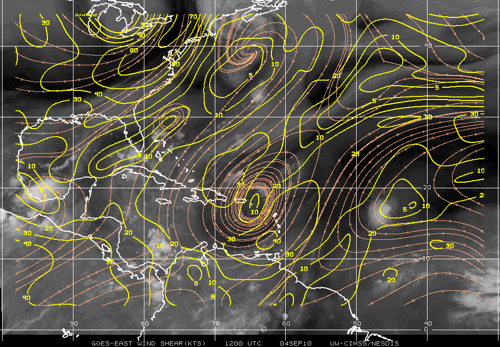
Using the Shear map you can see the TUTT.

Shear Map
Models for Gaston

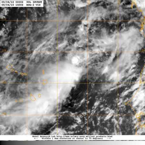
Invest 99L is disorganized system as it is very elongated from SW to NE. There is the possibility that the “center” could be within the ITCZ. If this were the case the models are going to incorrect. At the moment the models are forecasting a NW movement and away from everyone. If the convection is near that “center” within the ITCZ – we have a new ballgame. Until there is a better grasp on something that does not even have a LLC – an “accurate” forecast cannot be made.

IR Satellite image of Gaston (left) and Invest 99L (right)
Satellite image of Invest 99L

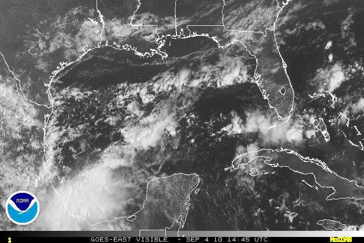
In the BOC – there an area of disturbed weather. This looks to be some energy from the system in the Pacific – TD11-E. The shear in that area is very light (5-10 knots) and is conducive for some limited development. Is may start to head NW or NNW. Within 36-48 hours, shear will increase and interaction with the land masses will hinder further development.

IR Satellite imagery
Visible Satellite image of the BOC
Categories
Science Tropical Weather

Invests 97L & 98L

The tropics are now heating up and becoming active.

An area in the BOC(Bay of Campeche) has become designated as Invest 98L. The satellite image does show an organizing system with very large amounts of convection along with an anticyclone over it. This also has SST’s of 28° Celcius and the anticyclone it is providing a very good outflow. 98L may have the potential to become Tropical Storm Bonnie. Invest 97L is not as organized as 98L due to moderate amounts of shear and dry air. 98L is currently heading NW-WNW and possibly inland within 72 hours.

Invest 98L
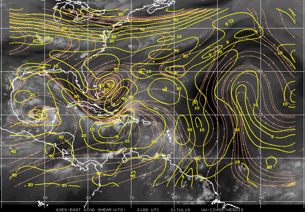
Shear


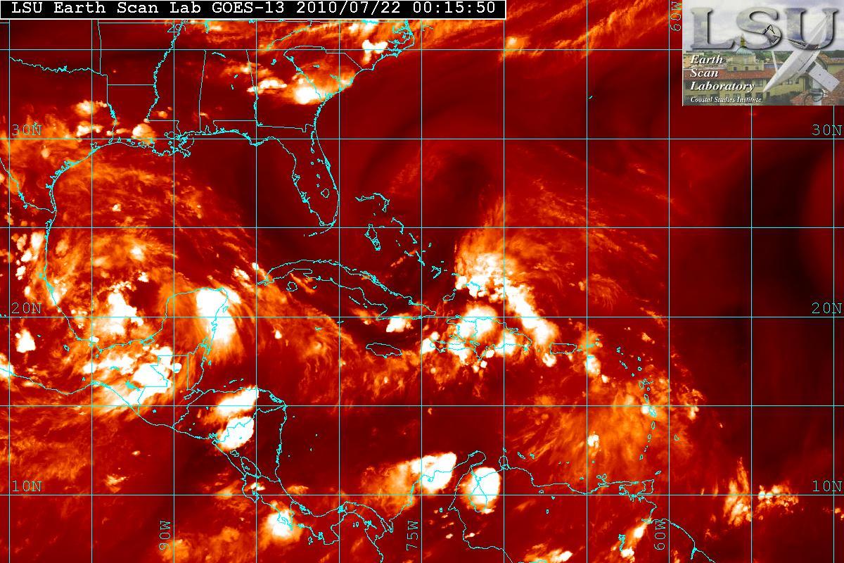
As mentioned – 97L is having problems trying to organize. The data from the NOAA Gulfstream IV jet took samples of the enviroment around 97L and it indicated that the upper-level winds were not conducive for development at least for the moment. The enviroment will probably be changing and within 24-36 hours shear may relax as the upper level low to the north west will be retrograding to the west allowing for a better chance for 97L to develop. In fact, during the day today 97L looked like it was trying to develop a LLC(Low Level Circulation) but all the convection to the right side of the “LLC” was being sheared. The quadrants to the the south and west had no convection due to the dry air and shear. Dry air in the image below is the darker area.

Water Vapor & Dry Air Image

Models seem to indicate that 97L will probably in the South Florida area, at least as Tropical Depression or posssibly as a Tropical Storm. Hurricane development is not indicated at this time.