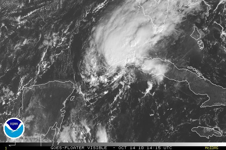
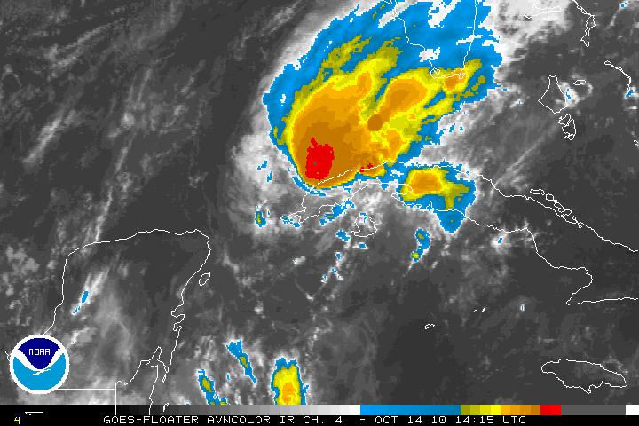
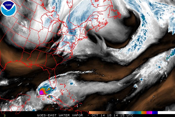
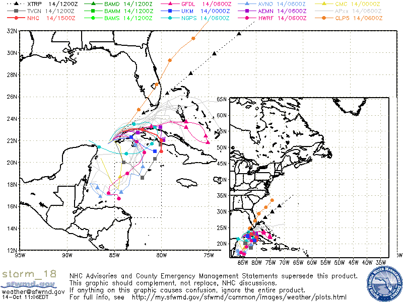
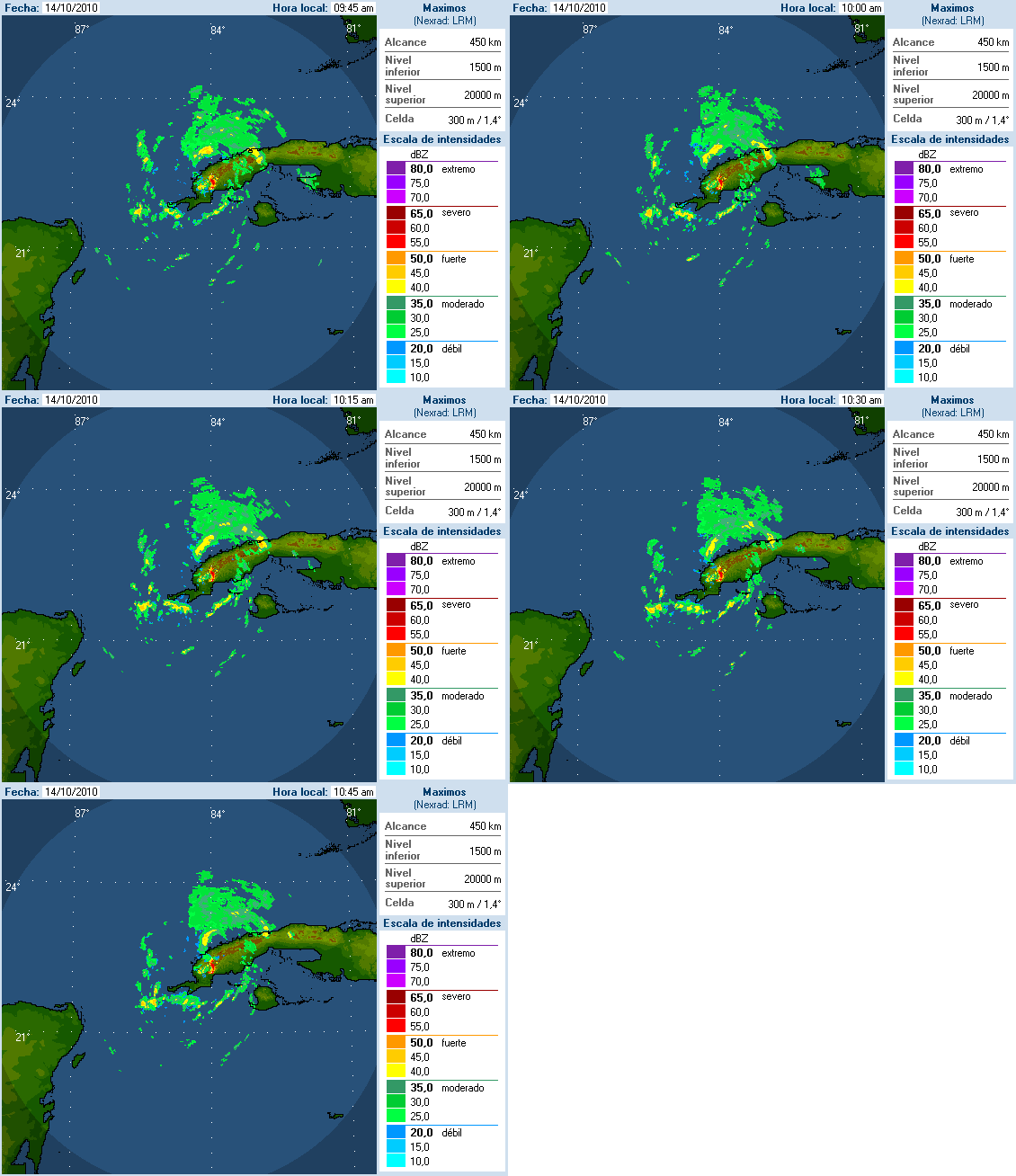
Hurricane Paula has been downgraded to Tropical Storm Paula as of the 11am advisory from the NHC. Tropical Storm Paula has been hugging the coastline of western Cuba and is beginning to shear apart. The decoupling of the different layers of the storm have been showing up on satellite for the last 8 hours or so. With southwesterly shear, dry air entrainment within the core of system, along with land interaction, Tropical Storm Paula will continue to fall apart and should be a Tropical Depression then just a remnant low pressure system even faster than forecasted – possibly within less than 48 hours.
Tag: land interaction
Invest 90L, Ex-Gaston
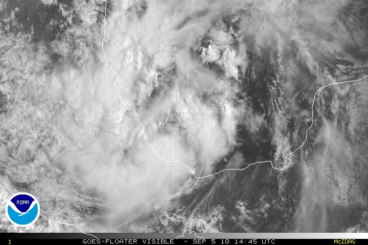
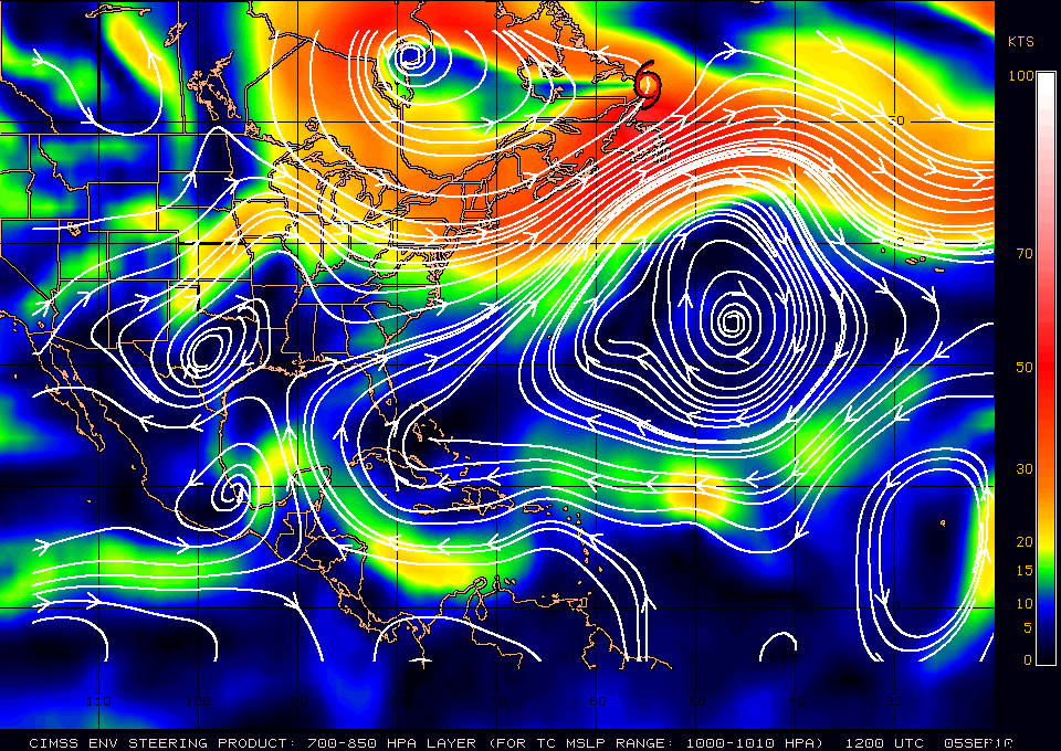
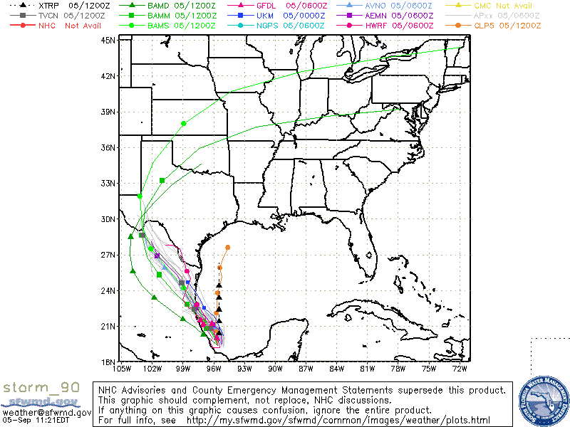
An area of disturbed weather in the BOC has now been designated as Invest 90L. This system was basically a part of the energy from the system in the Pacific TD-11-E. 90L is trying very hard to become something tropical in nature and it may become a tropical depression but there are some factors which are keeping it from developing quickly. In the last couple frames of the satellite loop, there is an area trying to rotate. If thus system can stay out in the waters for about 24-36 hours, it might have a chance to develop. If it starts to get close to the shore then the interaction with the land will just keep as an area of disturbed weather. In either case, the track is pretty simple, and because there is a high over Central Texas, this will be a system for Mexico.
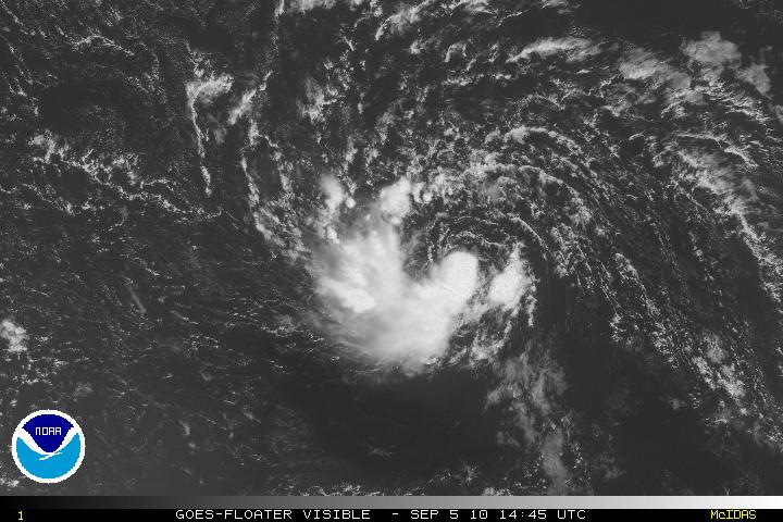
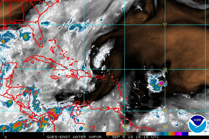
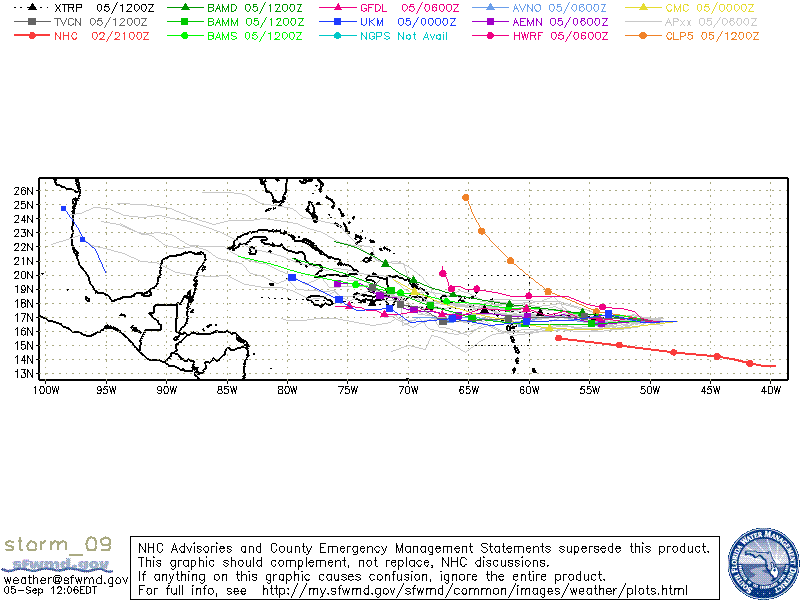
This morning satellite imagery of Ex- Gaston did seem to indicate that Gaston was having problems but later satellite imagery is now seeing a much better system. Gaston is slowly pulling away from the dry air around it and convection has been trying to wrap around the west and south. Cyclonic turning is also much better improved. The TUTT near PR/Hispanolia is visibly far enough away from Gaston it does loop like a high between the two is beginning to form. If Gaston continues to improve during the day and the convection begins to wrap around the center, Gaston may be like the Phoenix, and regeneration may occur with Gaston within 24-48 hours. The models are showing that Gaston may be headed toward the Leeward Islands although there a few there are further south. If Gaston stays to the north , then the Bahamas and Florida may have to keep an eye out. If it goes south, then it may go through Hispanolia and possibly dissipate there due to the high mountain range.