Categories
Tropical Weather

Dangerous Hurricane Igor, & Tropical Storm Julia

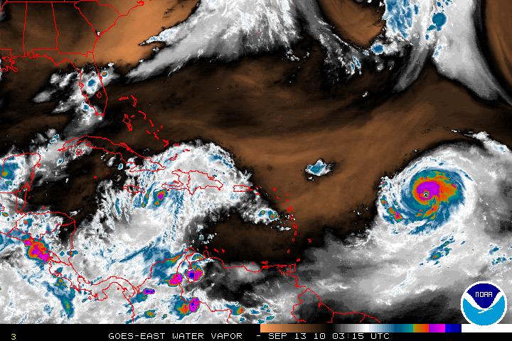
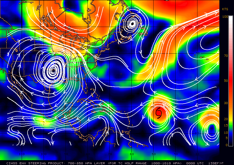
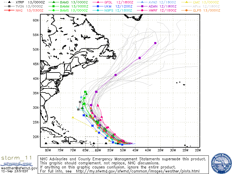
Dangerous Hurricane Igor is now a Category 4 and there is a possibility it may attain Category 5 status. Igor will be going though a ERC, and during that time Igor will weaken slightly but will still be a major hurricane. Unfortunately, no one can tell when the ERC will start. Igor is still on a Westward track but within 24-48 hours, Igor should begin a WNW track due to a long wave trough in the Western Atlantic. There is some disagreement about the trough flattening out in about 3 days, which would bring Igor back on a westward track. This will have to be seen and the forecast discounts the possibility for the moment.
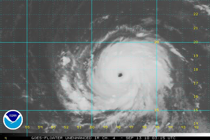
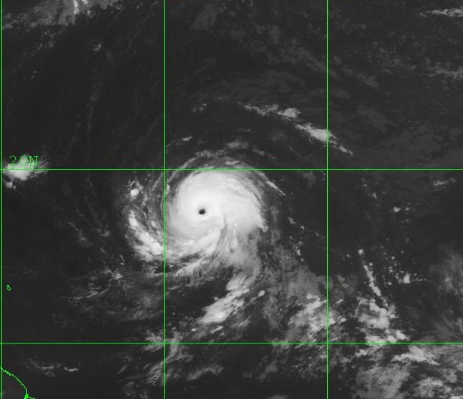
IR Satellite image of Igor
Water Vapor Satellite image of Igor
Steering Layer
Models for Igor

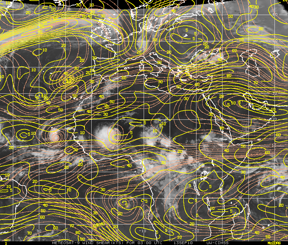
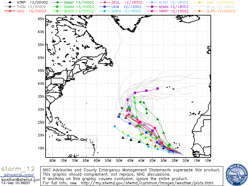
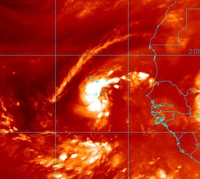
TD Twelve which is in the far Eastern Atlantic has been upgraded and is now Tropical Storm Julia as of the 11PM advisory. TS Julia is still having some moderate Easterly shear but this will be decreasing within 12-18 hours and is forecast to remain light for the next few days. TS Julia will be in very warm SST’s and this will allow steady strengthening so Julia is forecast to attain hurricane status. Thereafter, Julia will start to move into cooler SST’s and also will start in an area of increasing southwesterly shear. Julia will be on a WNW track and then later the storm is forecast to turn NW due to a weakness in a mid-level ridge.
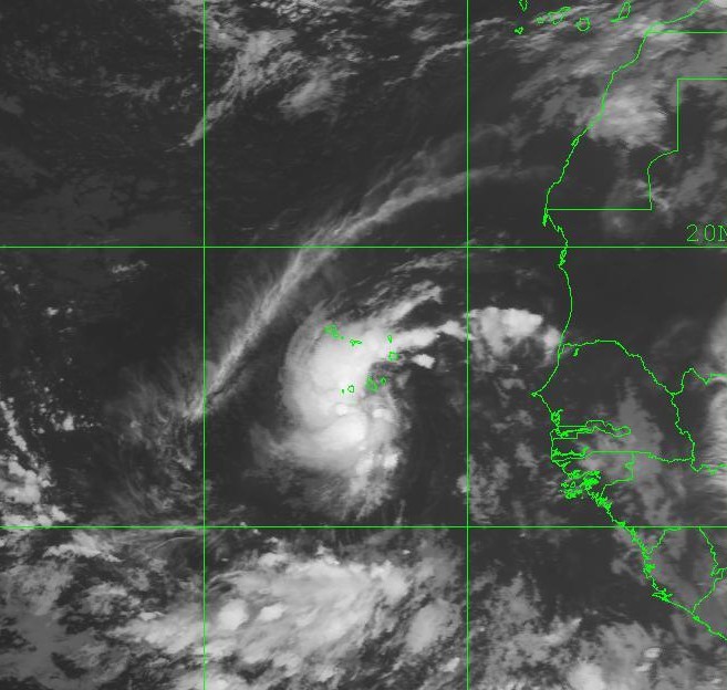
IR Satellite image of TS Julia
Water Vapor image of TS Julia
Wind Shear of Eastern Atlantic
Models for TS Julia

A very large tropical disturbance still inside Africa will be rolling of the coast soon. This is another of the train of waves coming off Africa.
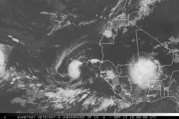
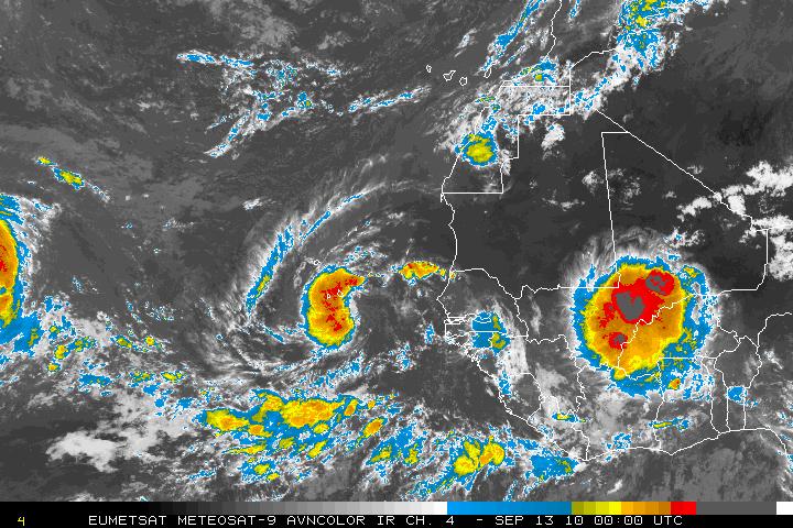
IR satellite image of next wave
AVN Satellite image of next wave
Categories
Tropical Weather

Hurricane Earl & Tropical Storm Diona

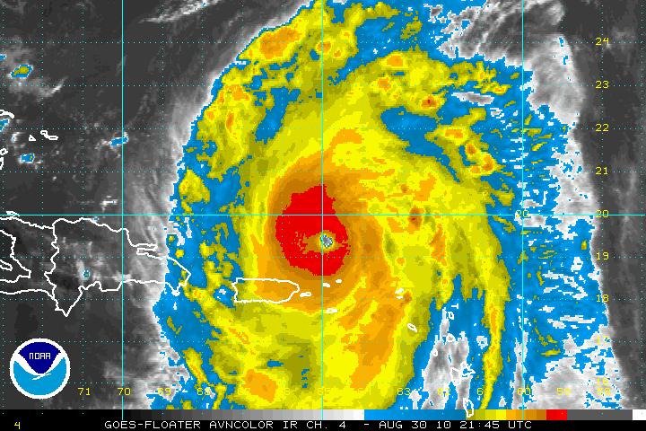
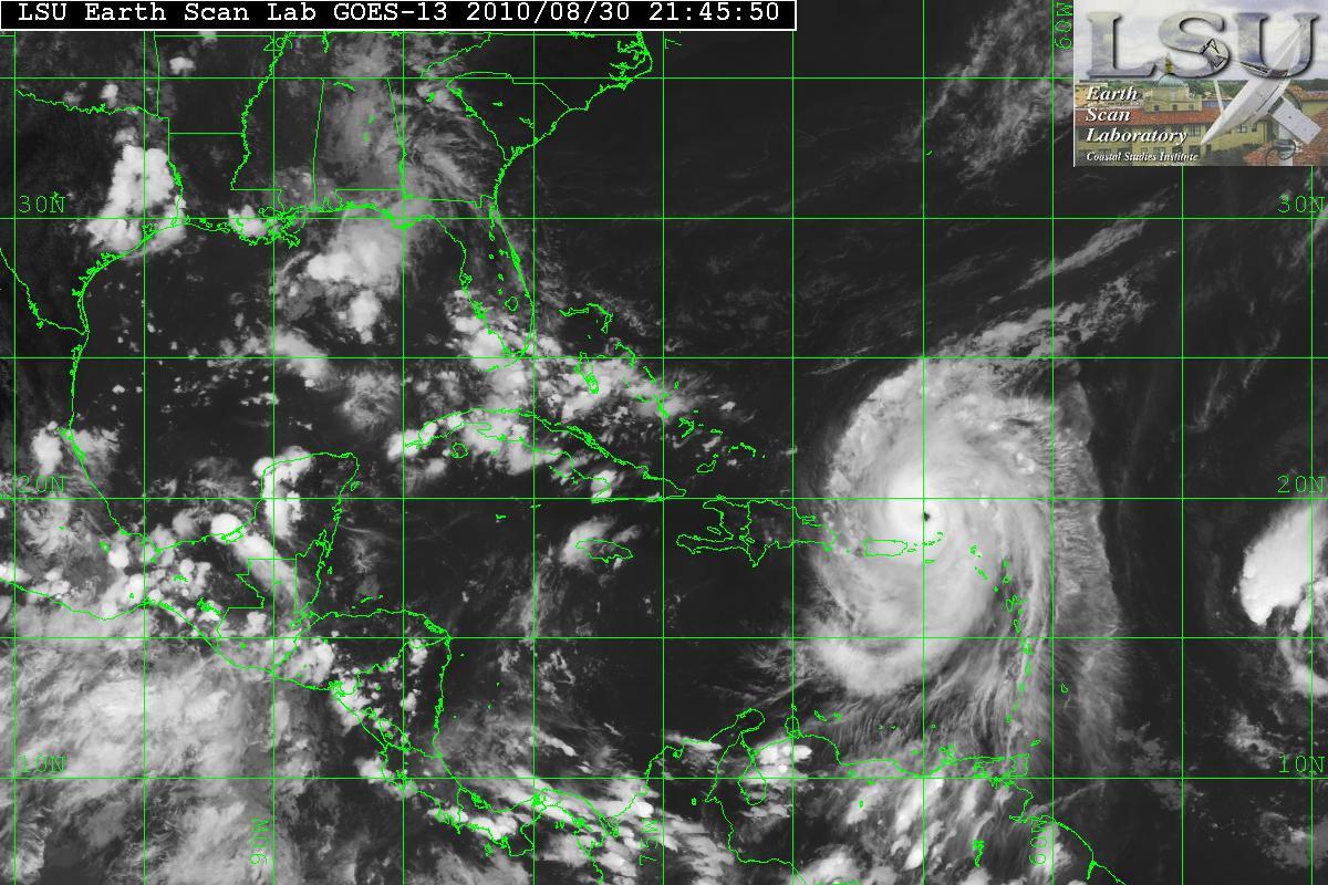
Hurricane Earl has been in an environment for continuing intensification and has blown up today and is now a Category 4 storm. There will probably be times where there will be an ERC (Eyewall Replacement Cycle) which is normal with a storm this strong. The intensification will be short term, probably 36-48 hours.

AVN Satellite image
IR Satellite image

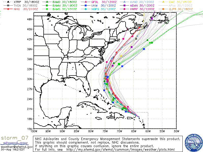
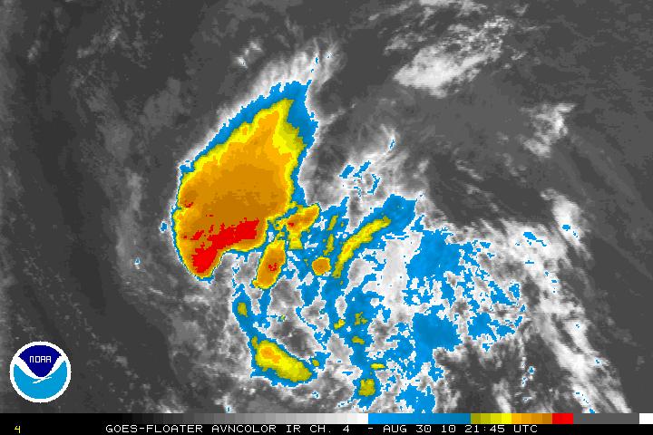
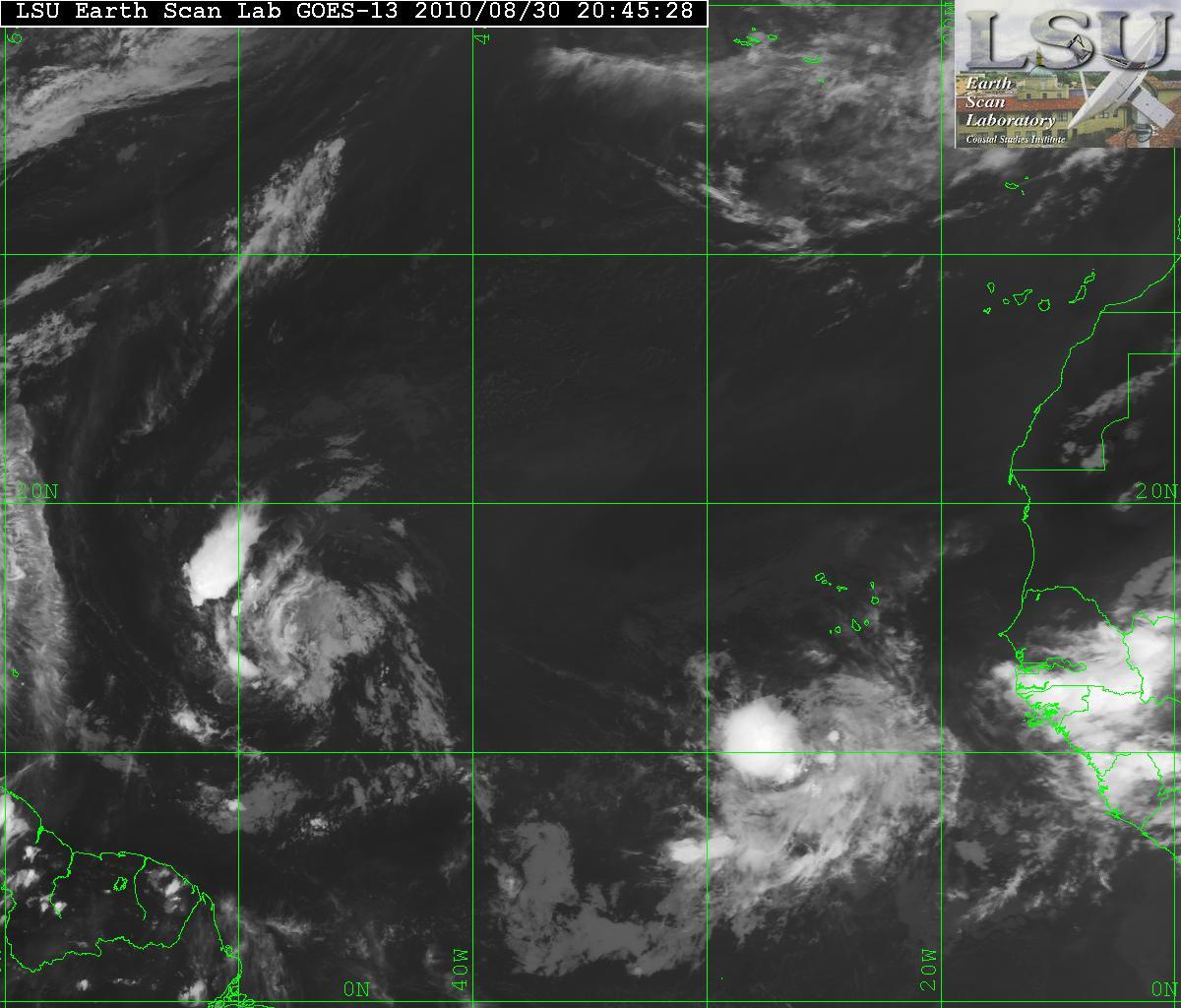
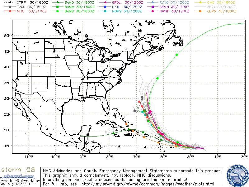
What was Invest 97L has been upgraded to Tropical Storm Fiona. Diona lack organization and the wind field is very large. The overall structure of Fiona is very poor and intensification will be slow. Most models are forecasting that Fiona may be a hurricane in 36-48 hours although the GFS model wants to dissipate Fiona is 2 or 3 days. The Models are still forecasting that Fiona will turn NW then N but there is a chance that the subtropical ridge will build back in and that will keep Diona from recurving. This is something forecasters will have to keep an eye on.

AVN Satellite image of Fiona
IR Satellite image of Fiona
Models for TS Fiona