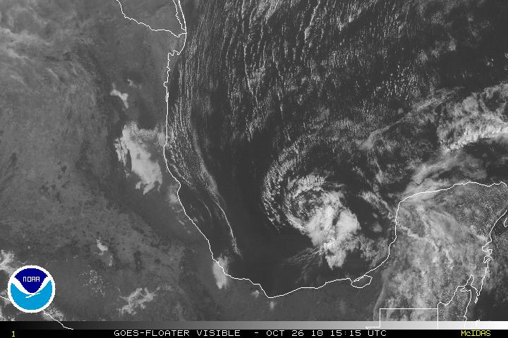
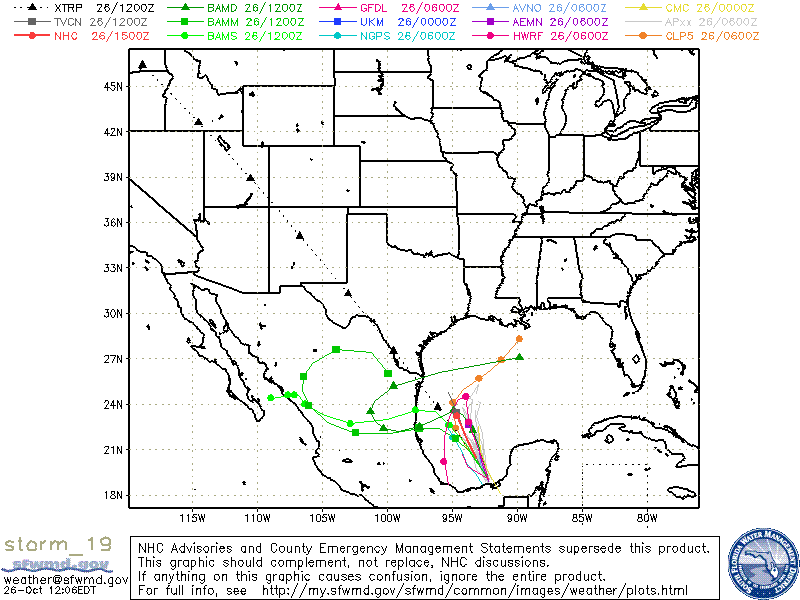
Tropical Depression Richard no longer has sufficient deep convection and has been downgraded to a Remnant Low. Although Richard is over water, dissipation if the system is forecast due to strong southwesterly shear along with dry air. The low is on a NNW track and is forecast to continue that track along the southwest periphery of a low-level subtropical anticyclone. Regeneration is highly unlikely.


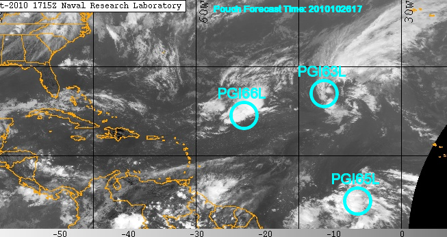
Invest90L way out in the eastern Atlantic about 1150 miles NW of the Cape Verde Islands has continued to linger around for a while but it is headed NNW and away from any landmasses.
PGI66L which is SW of 90L is a an upper-level low system. Both 90L and PGI66L will be encountering some upper level winds which will inhibit further development, either tropical or sub-tropical.
