Categories
Tropical Weather

Tropics quiet

At least for now the tropics are somewhat quiet. There is a strong wave that is now moving into Central America. It won’t be able to develop while over land but once it emerges into the Pacific, the system may develop. There are a few models that are hinting that it will. Since most EPAC systems head west and don’t touch the US mainland, I mainly will be talking about the Atlantic basin.

A strong and organized wave has emerged off the coast of Africa. It is around 9 N latitude and that places well south of the SAL that has been in the Eastern Atlantic. The AEJ (African Easterly Jet) will help in building convection. There is a chance that it might develop and the GFS model thinks it just might do so.  For now I would give it a 30% chance. As it heads west – chances will probably drop unless it can maintain the convection.
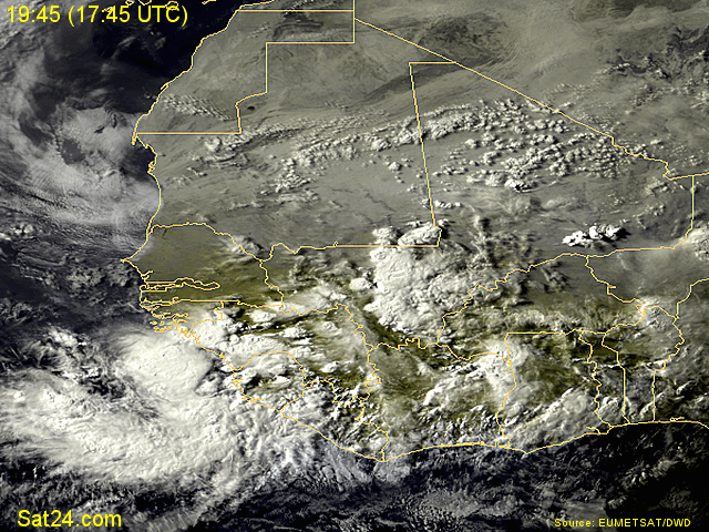
Wave off of Africa
Categories
Tropical Weather

Was Invest 95L anything tropical?

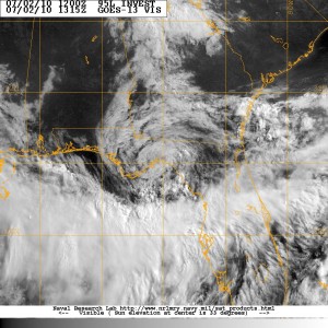
Did Invest 95L ever meet the criteria to make it a depression or tropical storm? I say NO – it never met the criteria and was nothing but a rain maker with some significant winds.

Tropical Cyclone:
A warm-core non-frontal synoptic-scale cyclone, originating over tropical or subtropical waters, with organized deep convection and a closed surface wind circulation about a well-defined center.

It the time of 1800 (zulu) – 95L had been a frontal boundary. At around 2100 -it detached from the front so it is now on it’s own. Under NHC criteria it requires the organized deep convection to persist for 12-24 hours. Only then if it still meets the criteria – the NHC may classifying a system as a Tropical Cyclone.

Just looking at the radar imagery at the time – it did not have a fully closed circulation. Also the convection was all SW of the “center”. Some people will argue these points and that’s fine – we all have are own feelings. But just using the NHC criteria guide lines  – 95L was just nothing but a  wet and windy storm.