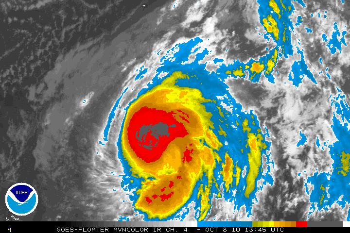
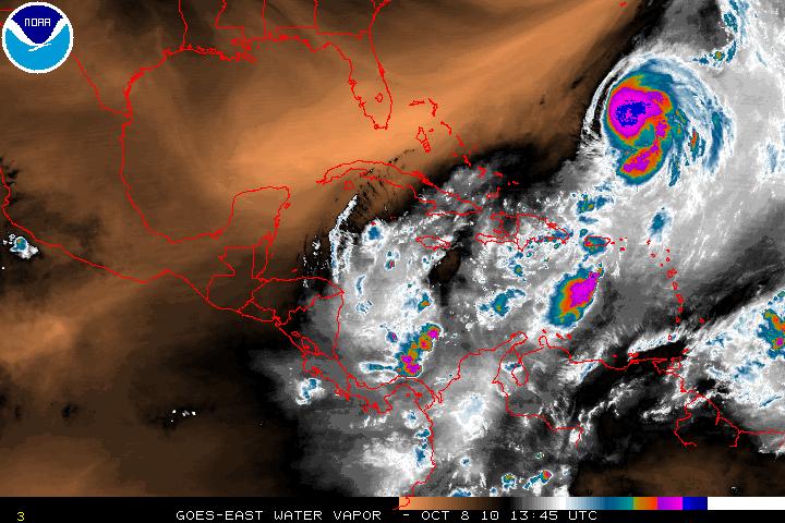
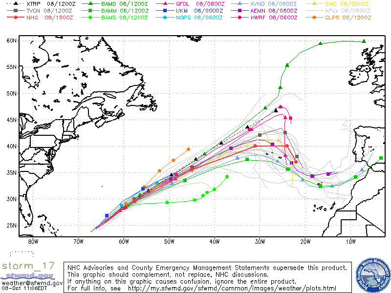
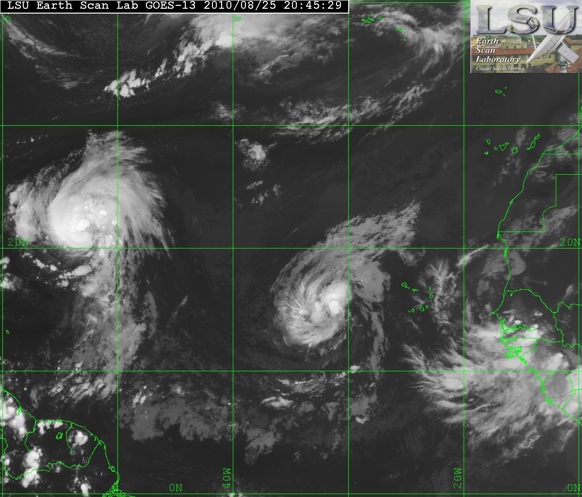
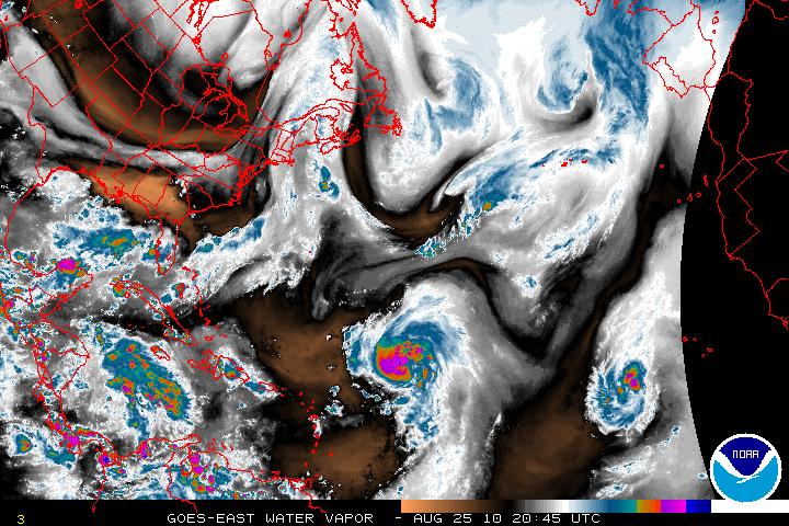
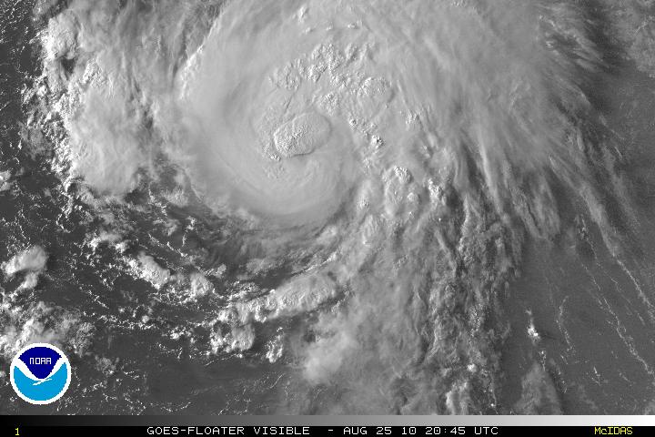
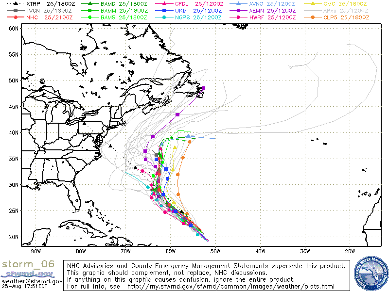
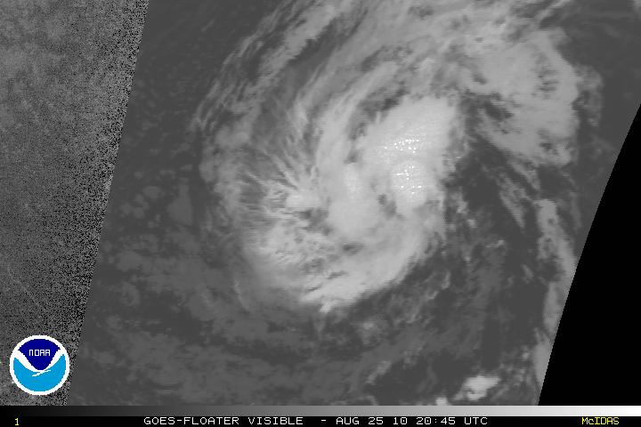
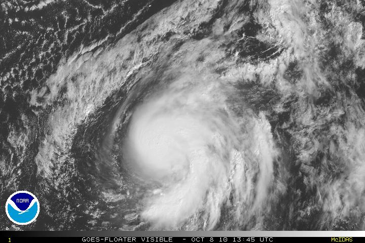
Tropical Storm Otto has been upgraded to Hurricane Otto as of the 11am advisory from the NHC. During the past 6 -12 hours satellite images showed that Otto had developed a well defined and large CDO – Central Dense Overcast. (This is the cirrus cloud shield that results from the thunderstorms in the eyewall of a tropical cyclone and its rain bands). Otto in an environment with light shear marginally warm waters which will allow some further intensification but gradual. This will be short lived as within 24-36 hours, southwesterly shear and cooler waters will take it’s effect on Otto and weakening if forecast. Otto will begin the transition from tropical to extra tropical within 48 hours. Otto has been heading ENE and gradually has been accelerating. Otto will stay on this track for 2 or 3 days and eventually turn to the eastward then southeastward due to a deep layered trough. Otto is expected to affect those in the Azores Islands.
Tag: CDO
Tropical Storm Hermine
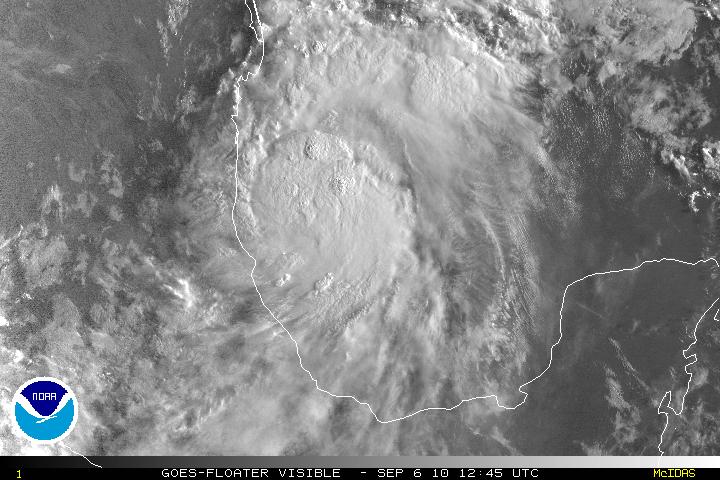
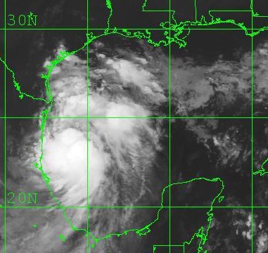
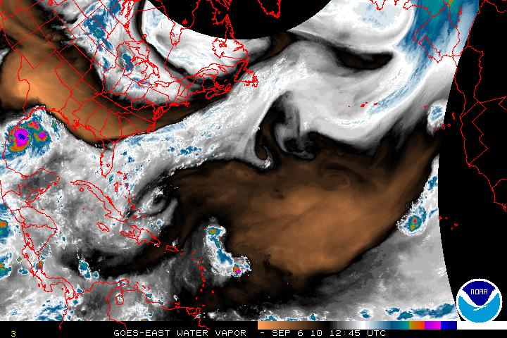
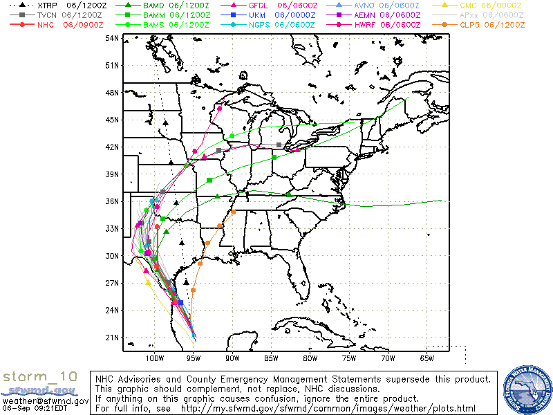
What was Invest 90L then updated to TD Ten has now been upgraded to Tropical Storm Hermine. Overnight, TS Hermine started to head N which did give it a little more breathing space to develop. It is still forecast to make the turn toward the NW but when that turn will happen is still unclear. The track for Hermine has shifted right from the previous one and this places TS Hermine right again the Mexico/Texas border. TS Hermine has a very ragged CDO(Central Dense Overcast), but unless it start to make the turn to the NW, the CDO should begin to have a better overall appearance. Additional strengthening is forecast but I don’t think it will have enough time to become a minimal hurricane even though the SST’s are in the 30°C-31C° range. I do believe the forecast track will need to be adjusted slightly to the right again as the ridging over the northern Gulf has been slow in coming.
Tropical Weather Trains
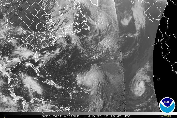
The tropics are now in full throttle and as of today we have Hurricane Danielle, Tropic Storm Earl, and a new wave coming off the coast of Africa. Those three systems are all from Africa and are what is called Cape Verde type systems. There is also a low pressure system in the Gulf of Mexico but nothing tropical at this time.
Hurricane Danielle
During the night, Danielle had lost some of its strength and was downgraded to a Tropical Storm but it has gradually gotten better and is now back to Hurricane status. Danielle is headed NW and soon will slow down it forward speed. Danielle is expected to make a northward turn within 48-72 hours. Danielle has a very good CDO, but there is a little southwestward upper level winds entering the core of the system but will be relaxing very soon.
Tropical Storm Earl
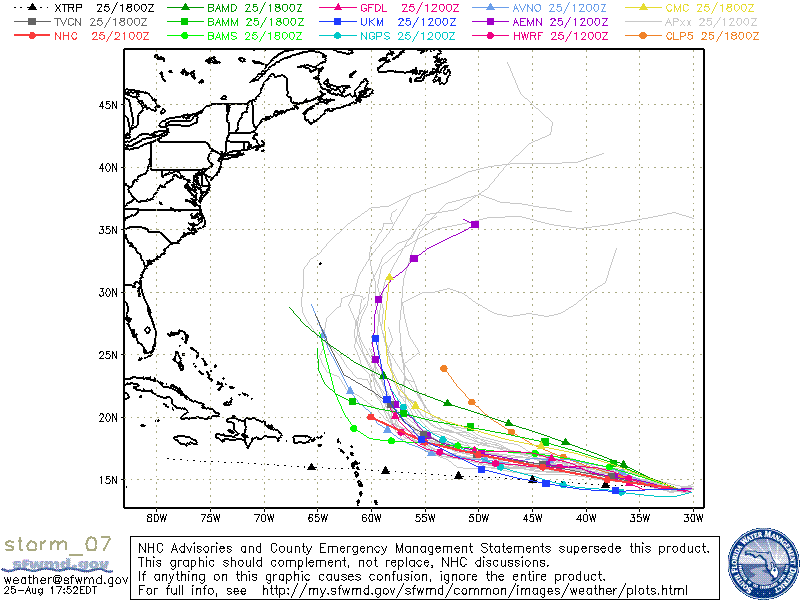
Tropical Depression Seven has been upgraded to Tropical Storm Earl. TS Earl has been gaining strength during the day and is forecast for gradual strengthening and be a hurricane in about two days. Earl has been on a somewhat westward direction and should continue this track for about 3 or 4 days. Earl has been taking the same track as Danielle and whether or not the cooling of the churned seas from Danielle will affect the strengthening is still up the air. The models do want to take Earl on a NW track in about 5 days. This is all going to depend on how strong Danielle will be for the next couple days. A strong Danielle will help keep the ridge and allow Earl to head northward. If Danielle stays as a minimal hurricane or tropical storm, the ridge might close up thus making a more W to WNW track. I feel the models have not grasped what Danielle strength will be, and the forecast might be off. I hope I am incorrect and Earl heads out to sea and with no one in his sights.