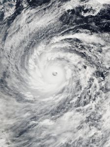
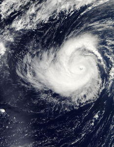
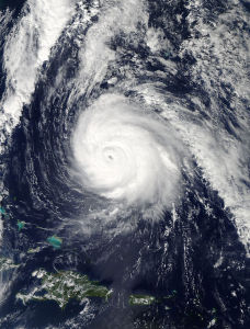
The 2014 Atlantic basin hurricane season will officially end just before the stroke of midnight Sunday, November 30th.
This will be a record breaking season as it has been nine years since a major hurricane (category 3 or higher) made landfall along the U.S. coastlines. Hurricane Wilma in 2005 was the last one to do so. Not that anyone wants a major hurricane on their doorstep but it is very unusual to have a nine-year period without a major hurricane reaching the U.S. soil. This year, the Atlantic basin had eight named storms, six of them becoming hurricanes. Two became majors, Hurricane Edouard was a category 3 but far out in the Atlantic and Hurricane Gonzalo briefly became a category 4 but weakened to a category 2 as it clobbered Bermuda.
Hurricane Arthur was the only storm to make U.S. landfall as it hit North Carolina as a Category 2 storm and winds of 100 MPH. Hurricane Arthur was also the strongest U.S. landfall since Hurricane Ike hit Texas on 2008.
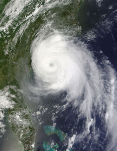
So what happened this season? Most tropical disturbances form as they come off the coast of Africa or in the Central Atlantic (also know as the MDR or Main Development Region). This year there were a few inhibiting factors such as dry air, strong vertical wind shear, and a lot of sinking air.
Dry air and SAL were some of the reasons development was very difficult during the beginning and middle of the season. The SAL or Saharan Air Layer inhibited development of tropical waves. The vertical wind shear causes winds blowing from opposite directions to possibly rip a storm apart or temporarily pause any further development. Sinking air or convergence will not allow thunderstorms to rise which is essential for tropical cyclone development.
In the latter portion of the season, there were a few storms that did develop, some due to the MJO. The MJO allowed upward motion allowing thunderstorms to develop.
Although early indicators did seem that a El Niño was forecast to develop but although temperatures in the Pacific were higher than the norm and the atmosphere did not follow along. The forecasted El Niño never did come to fruition and never was an inhibiting factor and had little impact in tropical cyclone development in the Atlantic.
In the Eastern Pacific (EPAC) and the Central Pacific was just the opposite and tropical cyclone activity was extremely busy. The Pacific had weak vertical shear, and unstable air, the Pacific was the busiest in several decades. The East & Central Pacific had 6 tropical storms and 16 hurricanes, nine of them majors. Mexico was hit several times, Hurricane Odile being the worst. Hurricane Odile made landfall near Cabo San Lucas with winds of 125 mph. Even Hawaii was threatened by 3 tropical cyclones, with Hurricane Ana just south of the Big Island. Hawaii was also hit by Hurricane Iselle, the first hurricane for Hawaii to have landfall since Hurricane Iniki in 1992.
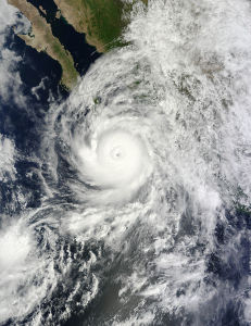
Not to be outdone, the Western Pacific also is having a very busy season. In fact Tropical Depression Twenty Two-W is forecast to be a Typhoon and possibly may hit the Philippines (again). As of this date, the Western Pacific has had 21 named storms, 10 Typhoons, seven of them Super Typhoons (unofficially). The strongest was Super Typhoon Vongfong with maximum sustained winds of 130 MPH. Note: Once Vongfong had moved into the are of the Philippines, PAGASA (Philippine Atmospheric, Geophysical and Astronomical Services Administration) Vongfong was now under the authority of the Phillipines and renamed Ompong.
