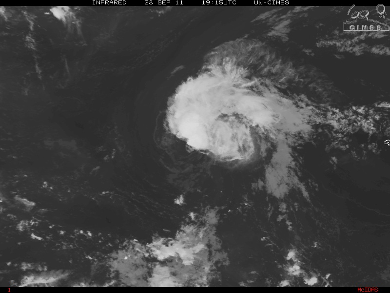
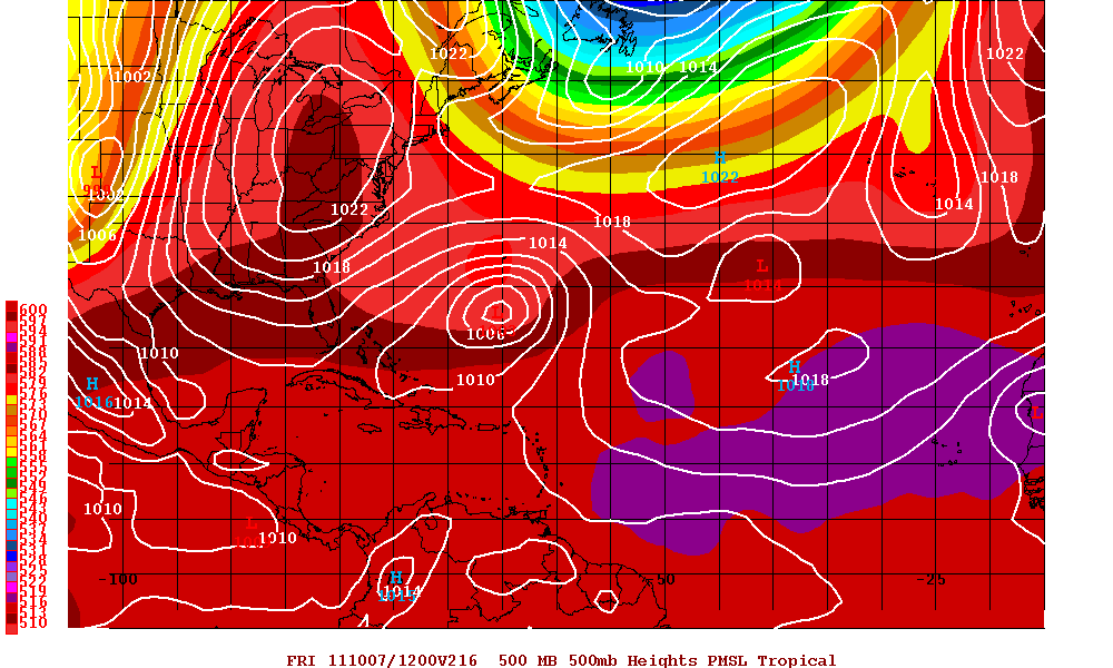
The remnants of Ophelia has been getting better organized over the past two days and the remnants of Ophelia has been entering in an environment that is more conducive and as of the 5PM Advisory yesterday, Ophelia has regenerated to Tropical Depression Ophelia. Satellite imagery along with reconnaissance did indicate that Ophelia had finally developed a closed surface circulation. The upper level winds that sheared ex-Ophelia to a remnant low has relaxed and along with some warm SST’s, the regeneration of Ophelia did seem imminent. As of the 11AM advisory today from the NHC, Ophelia was upgraded to Tropical Storm Ophelia. Although Ophelia has been been wobbling, a north-northwestern track is now forecast. As Ophelia continues to head north-northwest, later during the week a very large trough will be over the eastern CONUS and eventully in the western Atlantic. The trough will turn Ophelia north and possibly turn slightly north-northeast and hopefully enough to keep the storm away from Bermuda.
Intensity is difficult to forecast as there is still shearing west of the center but possibly just enough of a favorable environment to make hurricane status later in the forecast period.
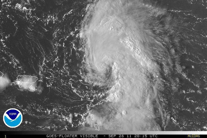
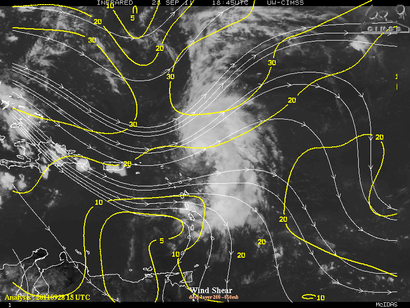
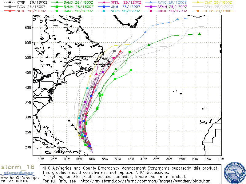
Tropical Storm Philippe is being affected by western shear and the low level of circulation is exposed with all the convection east of the center. Although the forecast originally was for Philippe to head north then northeast, the forecast models have changed. At the moment, Philippe is heading west-northwest but as Philippe approaches the western periphery of a ridge, a turn to the northwest is forecast and should continue for the next few days. A very deep trough that picked up Ophelia will now have pulled up and this trough will be moving eastward and the subtropical ridge will be filling in this will now have Philippe heading on a westward track for several days and there is even a chance of a west-southwest track. Shear may eventually decouple the storm and can still be hang on as a tropical storm a second trough will be over the central US but probably will pull before it reaches Philippe but this should cause a weakness in the subtropical ridge and allow Philippe to turn north and then a sharp turn to the northeast. If Philippe degenerates to a remnant low, the remnants will not be head north but stay on a westward track.
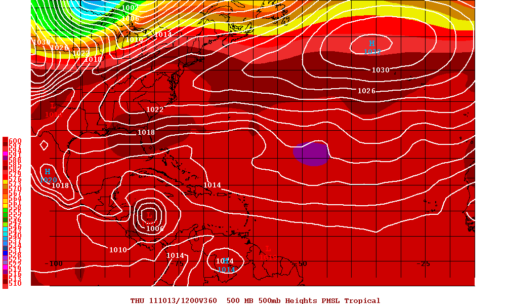
Elsewhere in the tropics, the MJO is still forecast to in the western Caribbean and the upward motion is still signaling some type of development in that area in nine or ten days. Although the MJO was supposed to be in the area of the western Caribbean some time ago, it was delayed and all indications are the MJO will be there this time.
