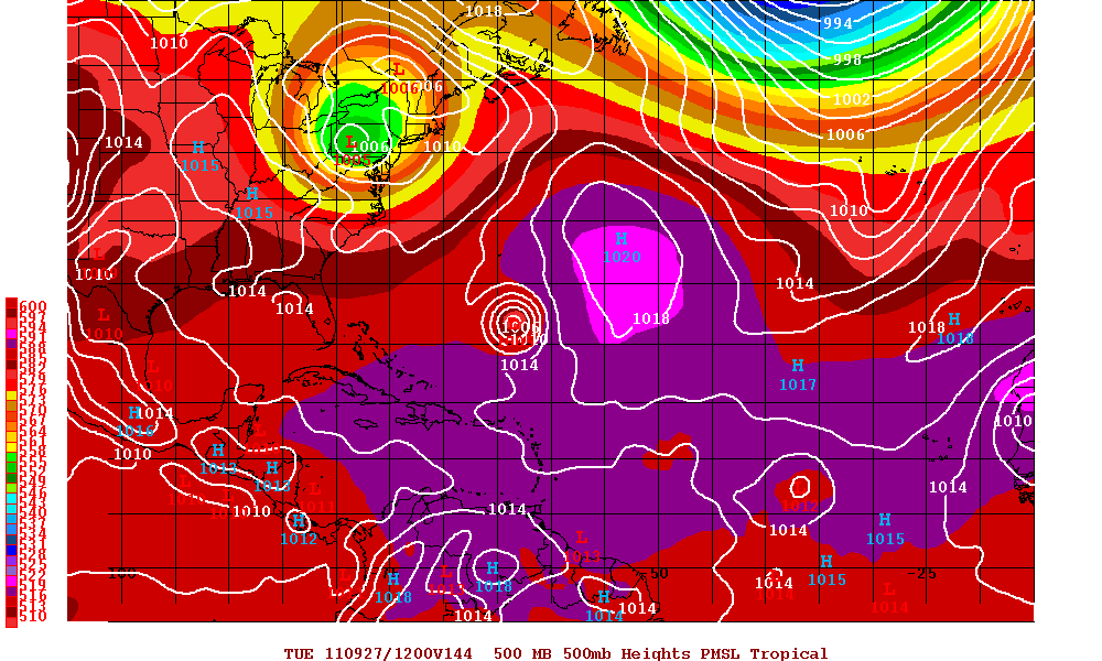
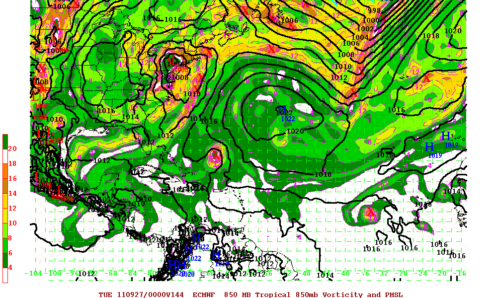
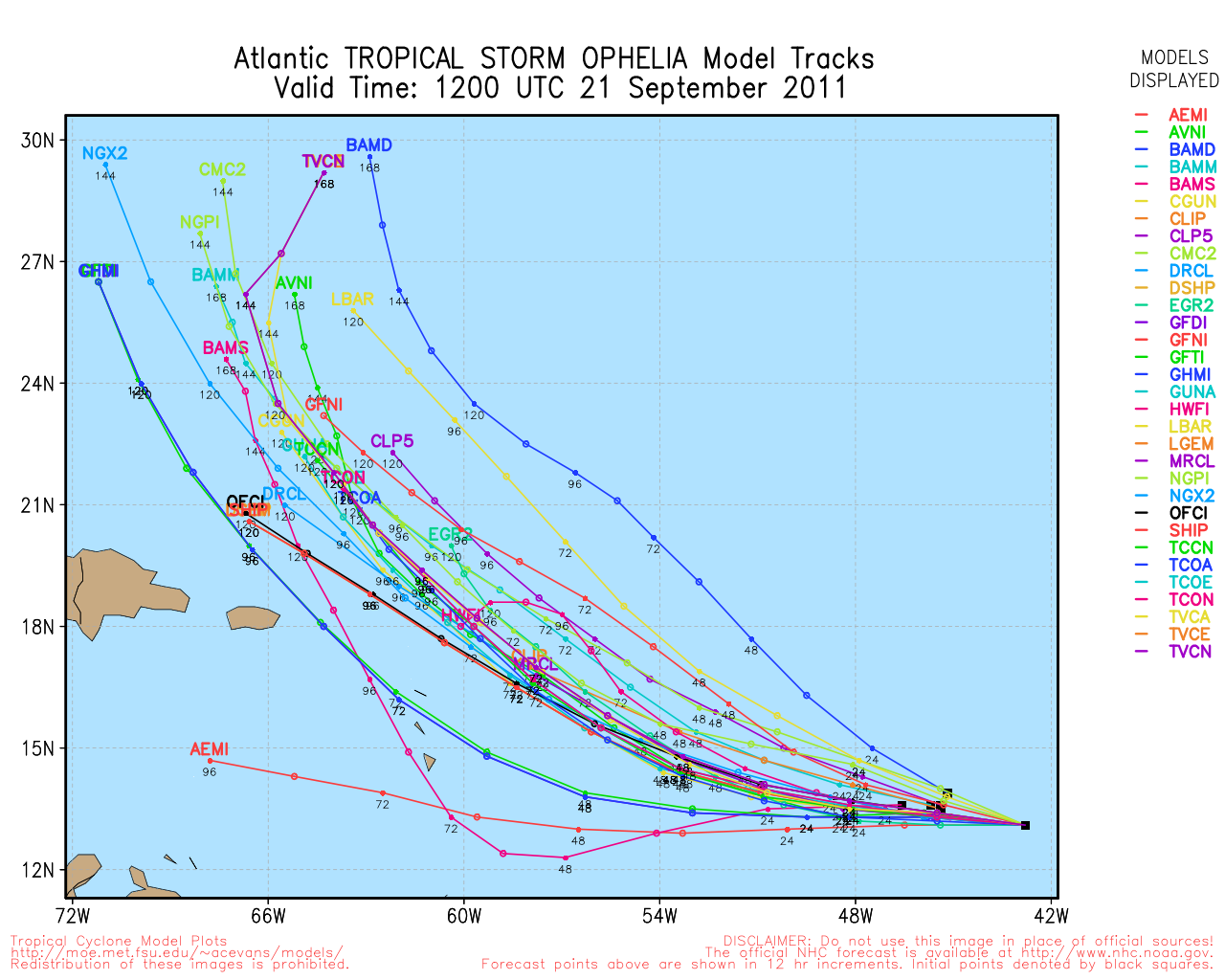
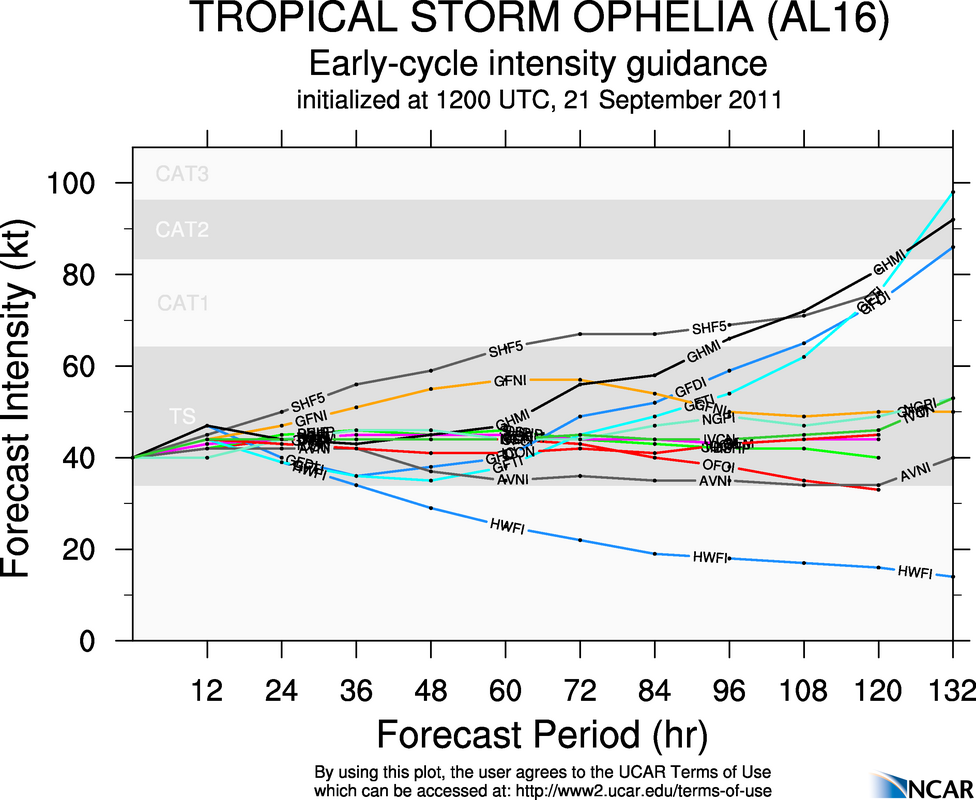
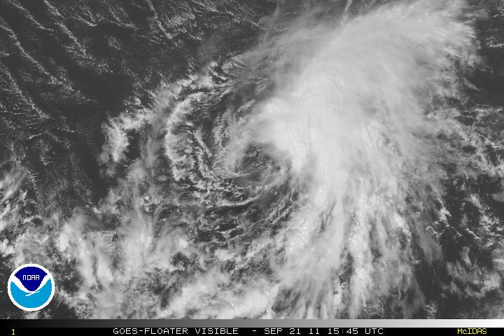
Invest 98L has been upgraded to Tropical Storm Ophelia as of the 11PM advisory last night from the NHC. Due to strong westerly and southwesterly shear, Ophelia will struggle and any increase in intensity will be gradual. At the moment, the LLC is exposed and all the convection is to the east of the center due to the strong westerly shear. Ophelia is south of a subtropical high pressure ridge. For the next 36-48 hours Ophelia will be heading westward or just north of due west, after that the forecast is for a deep layer trough to dig down as it heads off the eastern coast of the US. Ophelia will be on the southwestern periphery of the ridge and the trough will turn west-northwest then northwest. Eventually, the trough will turn Ophelia north and then northeast.
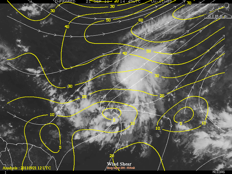
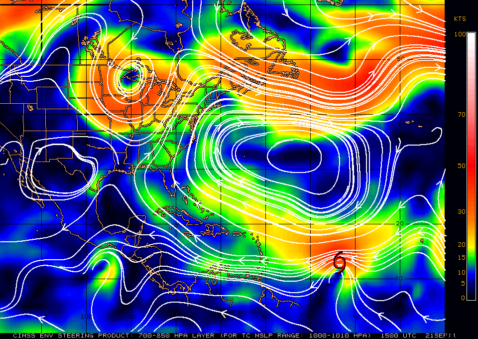
Before Ophelia gets close or near the northern Lesser Antilles, shear may relax a little and allow some strengthening. Once Ophelia begins to get close to 60°W longitude, shear is forecast to strengthen significantly and at that point, further intensity will be difficult, if not impossible. Once Ophelia begins the northern turn, the upper level winds may begin to ease and allow some more strengthening, but that is part of the long term forecast – so the dynamics may change.
