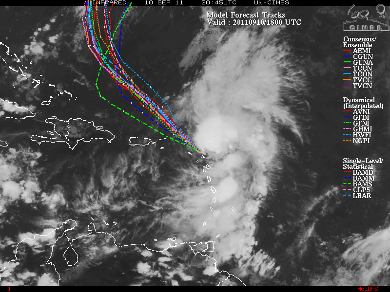
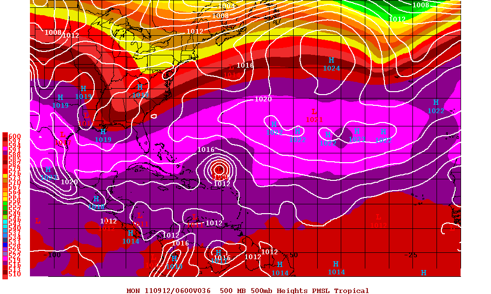
Tropical Storm Maria is just barely hanging on enough to still be classified as a Tropical Storm. The center of circulation is well east of the convection and the entire storm is elongated. Maria started to make the more true WNW direction yesterday and now a NW direction. A few days ago, the forecast for the ridging of the subtropical high in the Atlantic was to strengthen and keep Maria a more WNW track. As of yesterday, it appeared that the ridging was not going to be as strong. Maria will soon be near the southwestern side of the ridge and due to an approaching trough to the southeast US coast, Maria will be heading NW and eventually a turn to the north is forecast. The track guidance confidence within the models seems to be very high and when that usually happens, 95 percent of the time it is correct.
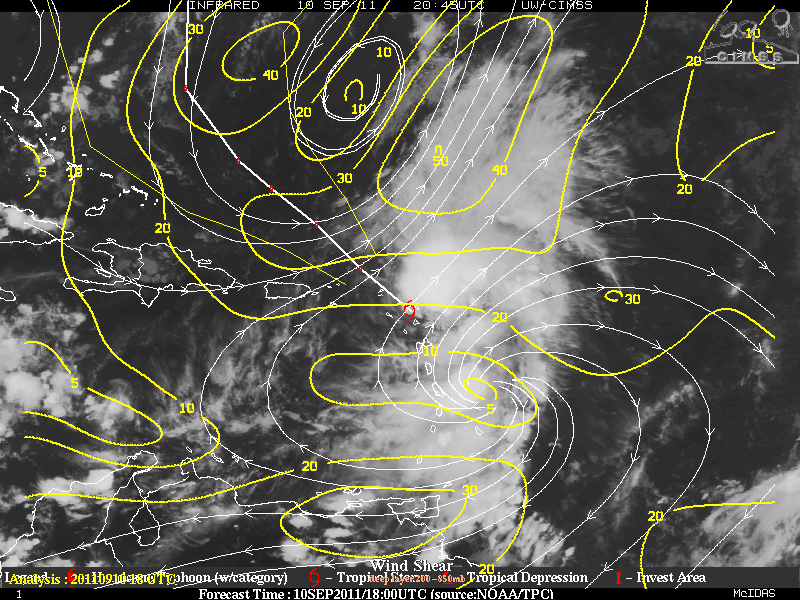
At the moment, there an upper level low to the NNW of Maria and the flow from the ULL (SW shear) along with some flow from a high to the east of Maria. The combination of the two is inducing a hostile environment for further development for Maria. The ULL is slowly moving away to the northeast and the shear levels will be reduced allowing some strengthening within 24-48 hours and eventually enough for Maria to become a hurricane later on in the forecast . Although the track guidance is very clear, intensity will be a problem. Category one hurricane status seems to be foreseeable as long as Maria does develop but I don’t believe a category two storm is probable, but I don’t want to rule it out either.
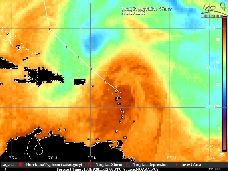
Overall, the Leeward Islands and possibly Puerto Rico may have tropical force winds, but since all the winds are in the area with the convection which is east of the center, this most likely will not happen but those in that area should monitor just in case . The Bahamas this time seem to be spared but any westward movement could allow some higher winds to the the Bahamas and although it is highly unlikely, the Outer Banks of North Carolina.
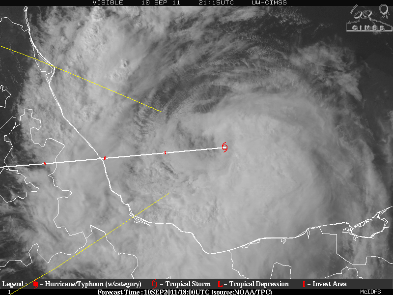
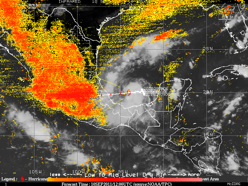
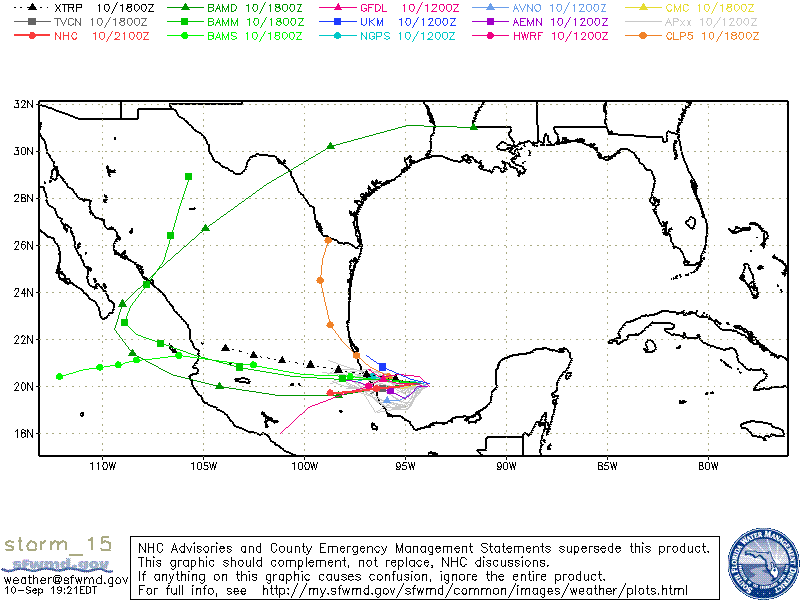
Tropical Storm Nate which for days was somewhat adrift has finally been tracking almost due west toward Mexico. Tropical Storm Nate who was drifting for those days has had problems with both dry air intrusion and the depths of the ocean there is somewhat shallow, upwelling also seemed to keep Nate from strengthening. As Nate is heading away from the cooler waters, further strengthening should occur. Due to the bowl shape of Bay of Campeche, convergence may help Nate in strengthening for a short period of time before land interaction will stop further intensification.
Nate at the moment is in an environment of low shear and Nate may intensify enough to become a hurricane not to long before landfall. Once landfall begins, Nate will begin to lose it’s strength and identity as it heads into the mountains.
