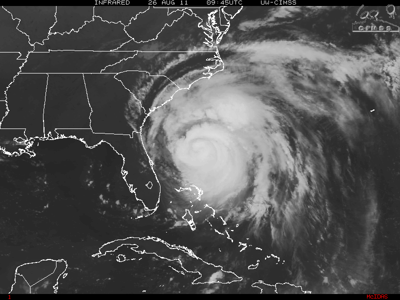
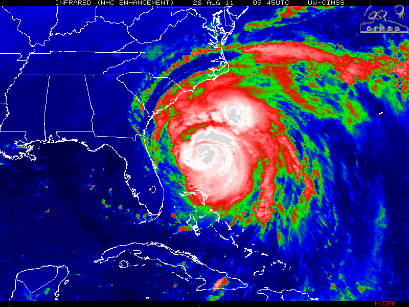
As the Bahamas got pummeled by Hurricane Irene with some Category two and Category three winds with hopes that damages would be minimal and no one has lost their life, all eyes are looking at Hurricane Irene’s next target, North Carolina and all points north. From the time Irene began it’s turn from the coast of the Dominican Republic, into the southern Bahamas and the eye wobbling (Trochoidal Oscillation) towards the Bahamas different islands, it was apparent that this was going to be one of the most dangerous hurricanes in a long time.
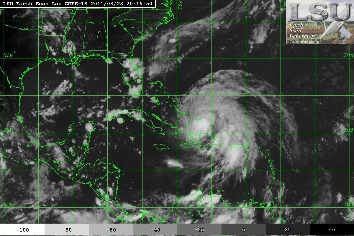
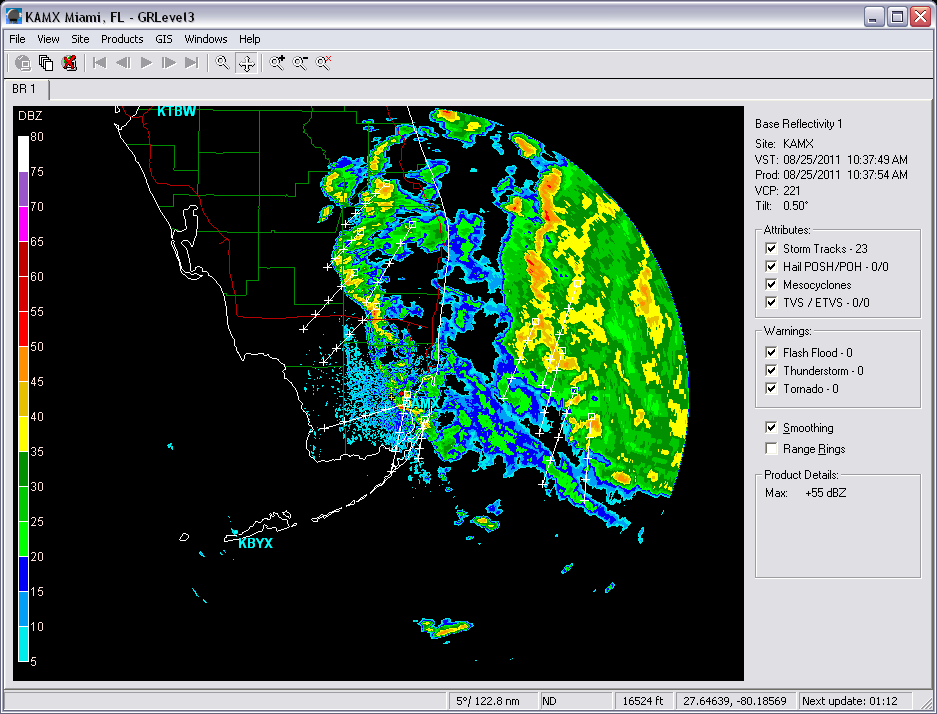
Thankfully, those who live in Florida were being spared as Irene was just offshore a hundred miles or so. Florida had been and continued to have just some breezy winds and a few outer rain bands as Irene continued it’s trek northwestward. Although it took a while to do so, Irene began it turn to the north-northwest.
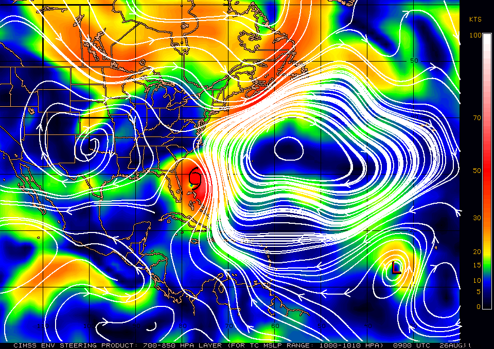
The latest steering current layer for Irene is now showing that the subtropical ridge has strengthened a little thus it has moved slightly allowing the weakness in the ridge to also move a little to the west. The trough had kept Irene on a north or north-northeast track. Currently, Irene is on a north-northeastward track which keep Irene heading toward North Carolina and the Outer Banks. Unfortunately, the ridge will continue to be there as as Irene heads toward Delaware, Long Island, and upward and this will keep Irene on a north-northeastward track. The most models are very much in a consensus and are very tightly clustered and a curvature out to sea is not indicated.
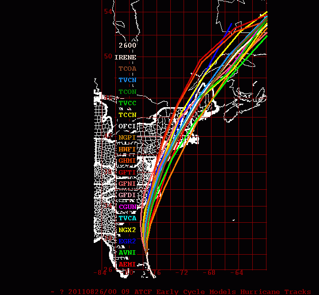
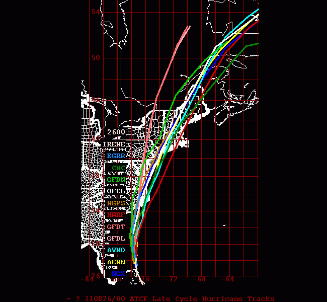
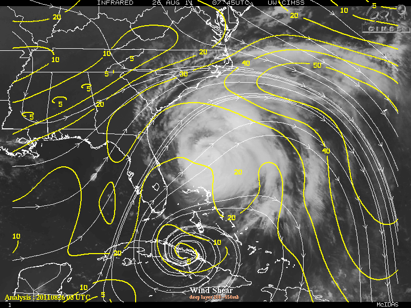
Currently, light to moderate southwesterly vertical wind shear along with some dry air has made it slightly difficult for Irene to strengthen but at the same time Irene will be in 28°-29°C SST’s so some possible strengthening may occur.
As Irene approaches the Outer Banks of North Carolina, some slight weakening may occur so Irene will either be a Category 3 or Category 2 Storm. Irene should begin a weakening phase after leaving North Carolina as it heads towards the Long Island area. By the time Irene moves into New England, Irene will weaken very quickly and under goes the extra-tropical transition phase.
By now all those who will be affected, especially those on the Outer Banks and North Carolina have evacuated their homes and into safe shelters.
