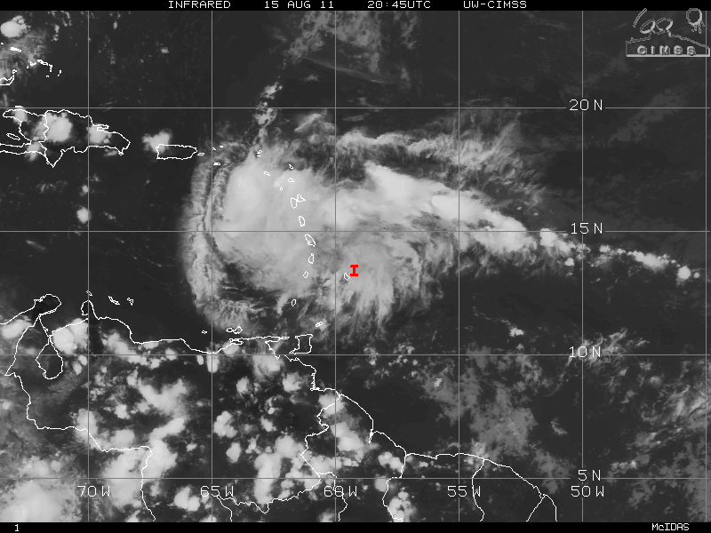
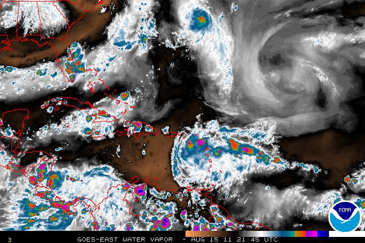
Invest 93L which had been deactivated has been reactivated as of early this morning. At the moment, the satellite presentation of 93L is showing very good convection but this may be due to several factors. One one be that 93L is starting to get into warmer SST’s and also the diurnal maximum. Also, 93L is near the periphery of the Atlantic high pressure ridge. With the trade winds that have been zipping across the Atlantic now being slowed down – the convection is being allowed as the warm air has to rise up.
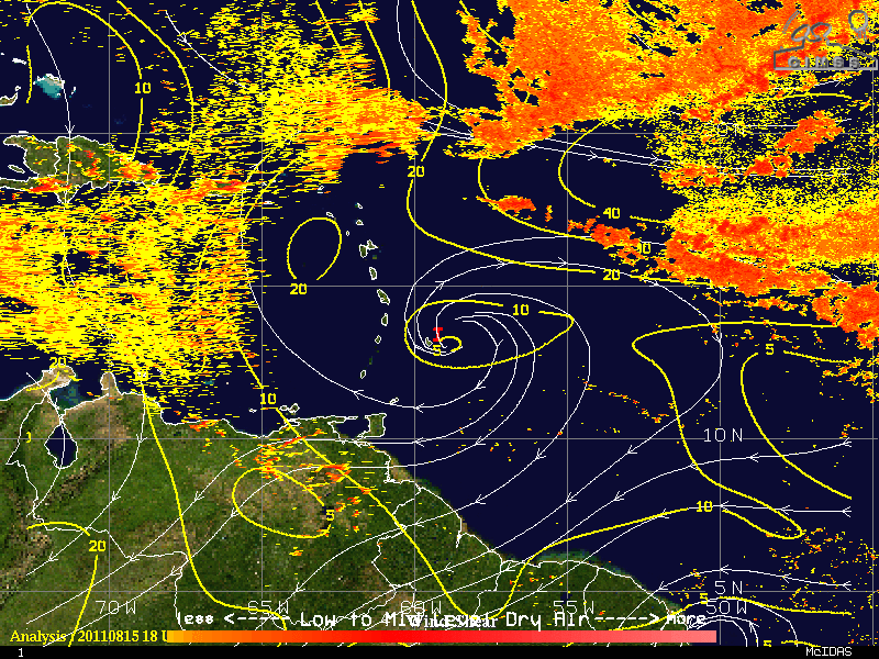
Convection may wane until 93L is into the much warmer SST’s and increase development of the 93L may not begin until it is closer to 70°W due to dry air to the west of 93L. At this point 93L still has no LLC but possibly might have a mid-level circulation. There is no model support for 93L, but as it heads further west the models should start to pick it up.
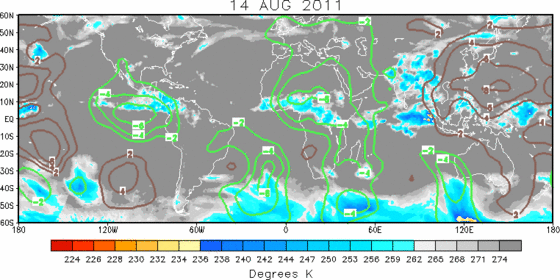
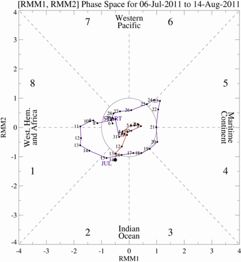
Once 93L enters the western Caribbean, conditions for favorable development may be enhanced by the Madden-Julian Oscillation. The MJO upward motion (a wet phase) enhances thunderstorm development.
