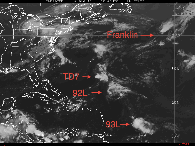
The tropics have finally begun to really fire up as of yesterday. We have old Invest 92L still in the Atlantic. What was Invest 94L was upgraded to Tropical Depression Seven. Invest 95L became Tropical Storm Franklin but as of last night it became Post Tropical Storm Franklin. Last but not least, Invest 93L – but as of 4:30 this morning, 93L was deactivated.
Of the three systems, Post-Tropical Storm Franklin, Tropical Depression Seven, and Invest 92L – all are or will be heading out to sea. Only Tropical Depression Seven has a chance to affect Bermuda as Tropical Depression Seven as it may strengthen and gain Tropical Storm status, and be a threat with tropical storm winds/rain. Since none of the three systems are a major threat, I will just post the image of them along with 93L.
UPDATE: As of the 2pm advisory, Tropical Depression Seven has been upgraded to Tropical Storm Gert.
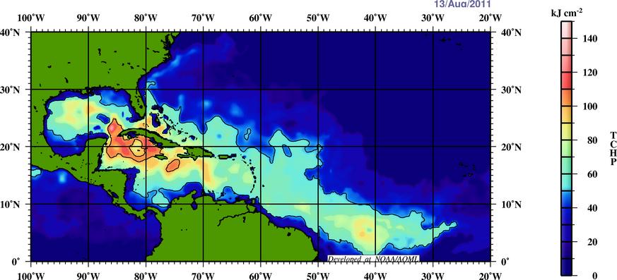
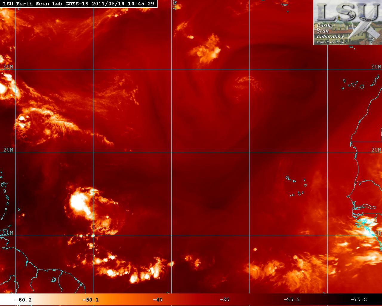
Although Invest 93L was deactivated, the NHC will probably reactive 93L once it get closer to latitude 55°W – 60°W. Convection has increased slightly and cyclonic turning is present but does not have a defined closed surface circulation. As 93L gets into the Caribbean, the Sea Surface Temperatures (SST’s) will be increasing along with a lot of latent heat energy. As 93L heads further west the Tropical Cyclone Heat Potential (TCHP) will be increasing, this will allow possible heat energy transfer for further system deepening. Shear is present from the north but this will be decreasing but dry air may inhibit some development.
The long term track for 93L is very uncertain. A slight shift in the pattern may develop where the Texas high pressure ridge may be forced to head westward. The Atlantic high pressure ridge may be rebuilding once Franklin, TD7, and 92L have curved out to sea. This should leave a weakness between the two ridges. A more zonal flow is forecast develop somewhere in the mid – western Canada. This should keep 93L on a more West or WNW track for a few days. Where that weakness between those ridges is going to steer 93L. If 93L develops as a weak storm, a possible track will be for the continued W – WNW toward the Yucatan where as a much stronger and deeper storm would tend to turn 93L NW. Being that 93L doesn’t have a closed surface circulation, it is too difficult to determine where 93L will go or even if it develops into a tropical cyclone. So at the moment there is no immediate concern but those in the Caribbean, and the southern US should keep an a close eye in 93L.

 </>
</>