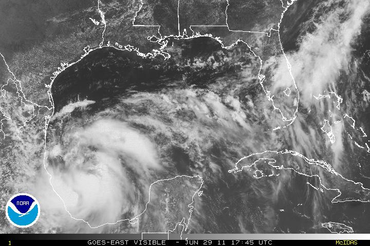
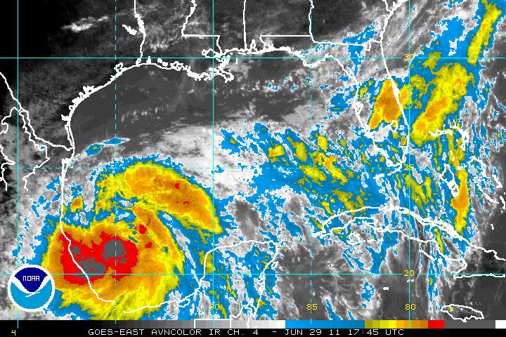
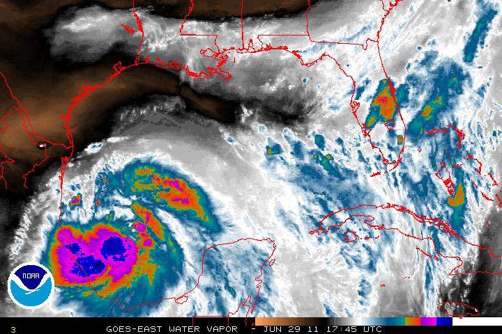
Invest 95L which was just an open wave has been upgrade to Tropical Storm Arlene as of the 8 PM advisory from the NHC Tuesday evening. Today, recon has gone in and found that while Arlene is getting better organized, a well-defined inner core is still lacking. Upper-level winds are slowly decreasing and the environment will be conducive for further development. There is a good chance that Tropical Storm Arlene might become a hurricane just before landfall. The SHIPS (model) for Rapid Intensification Index is high and 20 to 30 knots within the next 24 hours is not unreasonable.
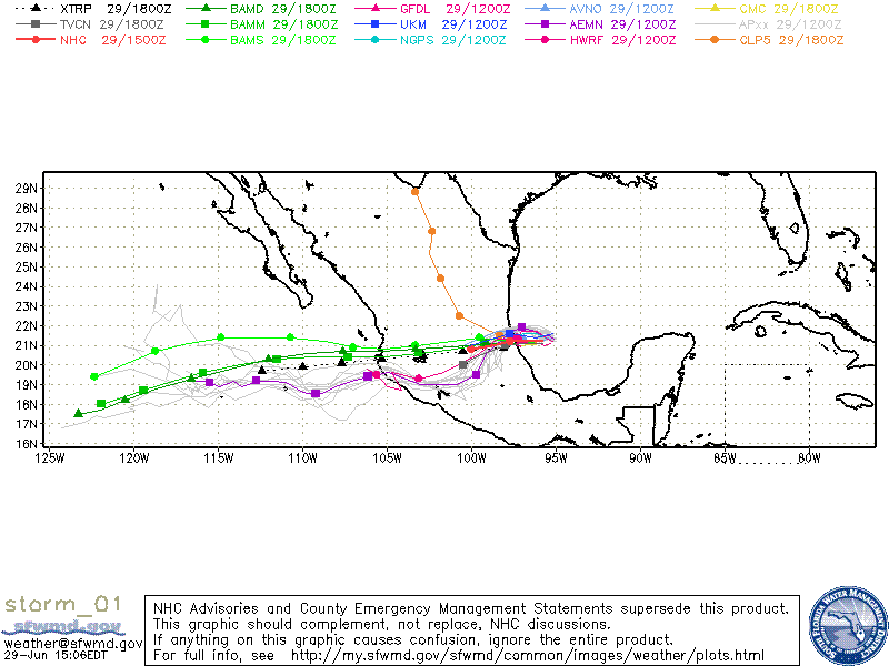
A deep-layer ridge to the north of Arlene will induce a westerly track and some model guidance are indicating a possible shift to the left of the westerly track for a WSW track. No matter the track, this will be more of a rainfall event and the biggest concern is possible flash-floods or mudslides in Mexico.


