Categories
Tropical Weather

Tropical Storm Tomas

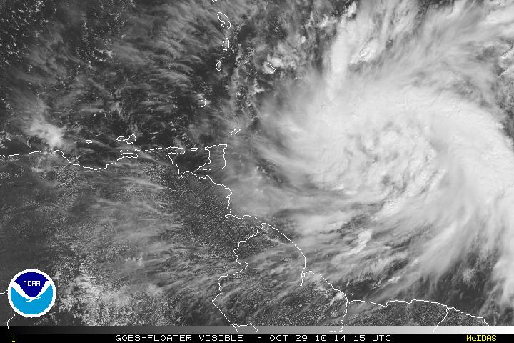
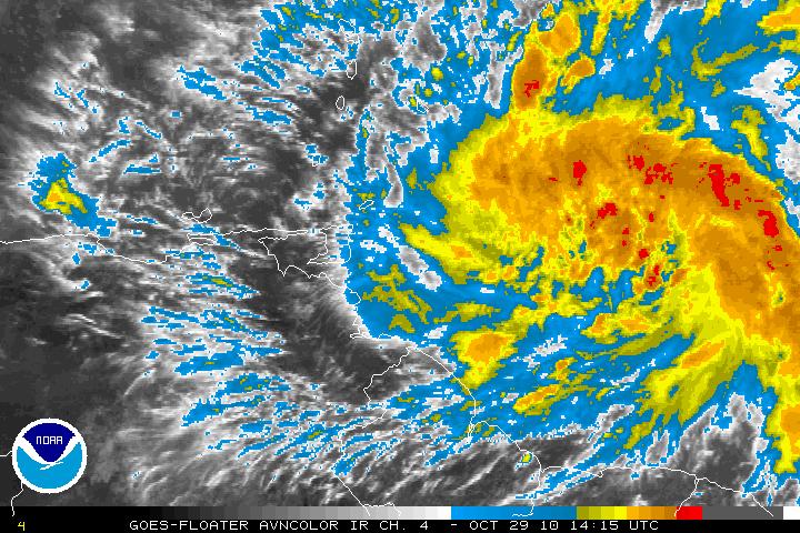
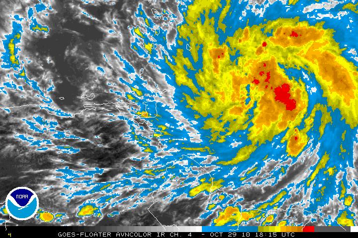
Invest 91L has been upgraded to Tropical Storm Tomas as of the 5PM advisory from the NHC. Earlier today, the reconnaissance plane had found that a closed surface circulation was forming and on the way to becoming a tropical storm. TS Tomas is expected to continue slow strengthening and may become a hurricane by Sunday. There is the possibility that TS Tomas may become a major hurricane later in the forecast period.

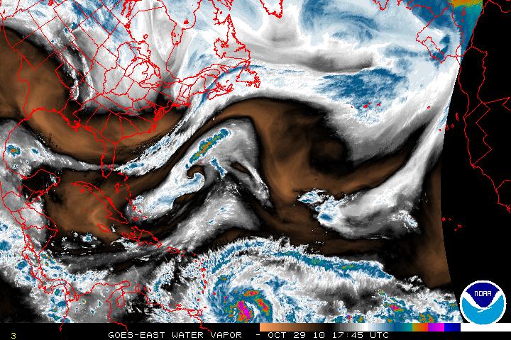
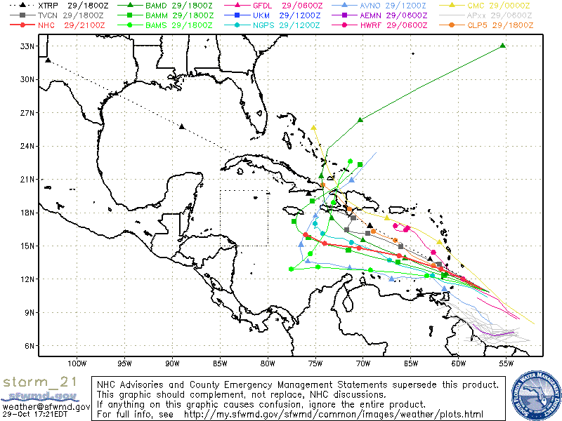
The models now are forecasting that TS Tomas will continue to head WNW for at least the next 72 hours. The broad trough over the US is now expected to pull out, and this will leave a ridge to build over Tomas and all the way to Florida. Later on, a second and much deeper trough will begin to dig southward into the Southeastern U.S. and this will cause the ridge and all the steering flow to weaken. This will cause Tomas to sharply decrease the forward speed in about 120 hours. It is too early to call whether Tomas will bypass the trough and continue heading WNW or whether the trough will begin to force TS Tomas to head NW then North or not.

NO MATTER where TS Tomas heads, all interests should keep advised of the location that Tomas is heading, especially if he becomes a major hurricane.
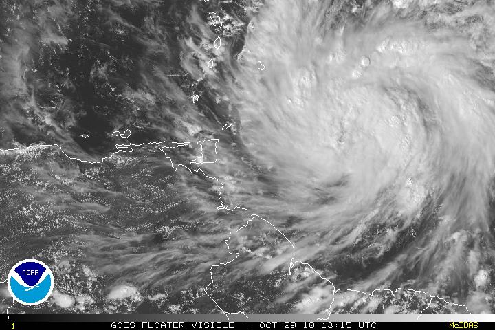
Visible Satellite image of TS Tomas
AVN Satellite image of TS Tomas
Water Vapor Satellite image of US & Western Atlantic
Models for TS Tomas
Categories
Tropical Weather

Invest91L

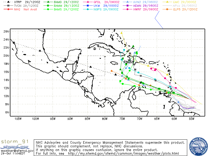
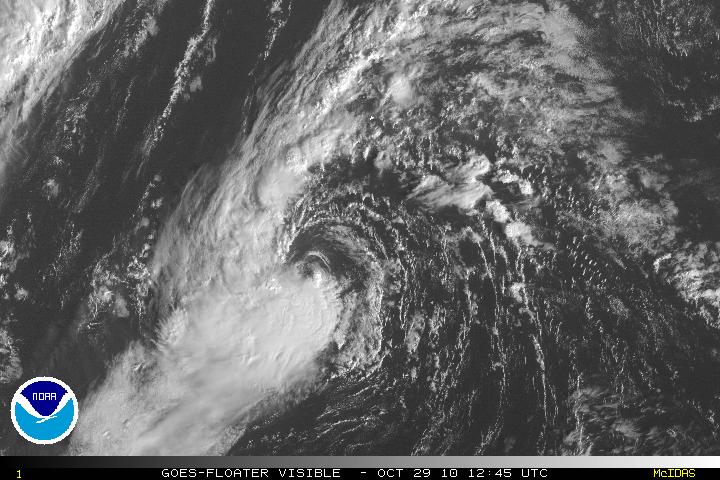
Invest 91L located about 350 miles East – Southeast of the southern Windward Islands has been slowly getting better organized and is forecast to become a Tropical Depression or Tropical Storm in the next day or two. The overall environment and conditions are conducive for continuing development as the system heads W-WNW. A reconnaissance flight is scheduled later today (2pm). Most models are forecasting that Invest 91L will eventually turn N or NNE but the timing between the models makes things a little unclear. The latest models have it tracking between eastern Cuba and Hispaniola as a frontal system picks it up in a few days. Until we have the data from recon I would not begin to estimate what intensity will be.

Visible Satellite image of Invest 91L
AVN Satellite image of Invest 91L
Models for Invest 91L
Categories
Tropical Weather

Tropical Storm Shary

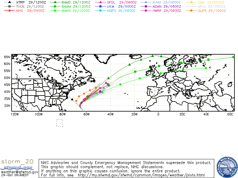
Invest 92L was upgraded to Tropical Storm Shary as of the 11pm advisory last night. As of this morning, the center of TS Shary is exposed with convection to the west and south of the center. Shary has little chance to develop to hurricane status due to the forecast of cooler waters (SST’s) and in increasing vertical shear although the GFDL and HWRF want to forecast it to hurricane status. TS Shary is expected to become extratropical in 36 hours and it should dissipate as it is absorbed into a frontal boundary. Bermuda may be some effects from TS Shary in the next day or two.

Visible Satellite image of TS Shary
Models for TS Shary