Although the hurricane season is slowly winding down, there are three Invests in the Atlantic. 90L way out in the eastern Atlantic and is no threat.
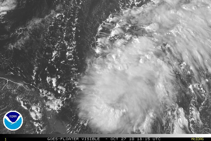
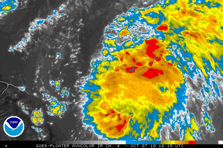
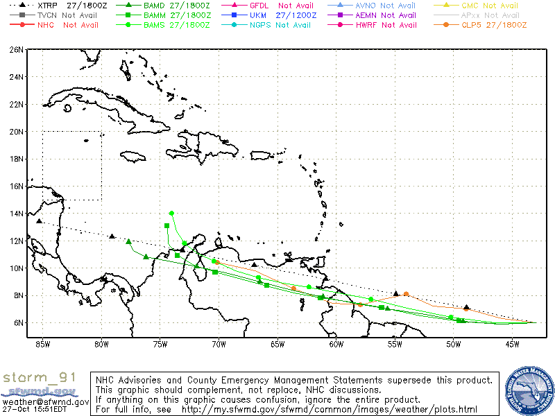
Invest 91L is located 1200 miles E-SE of the Windward Islands. 91L is a vigorous wave and upper level winds will soon be conducive for possible slow development in the next few days. One possible problem for 91L that is very low in latitude and land interaction will hinder development as it heads W-WNW. One model (the Canadian) has it going right into South America where as the GFS model has it clipping the South American coastline.
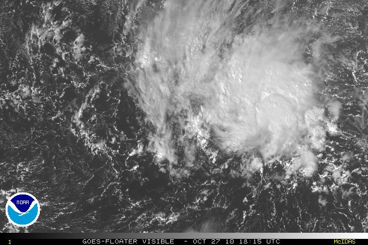
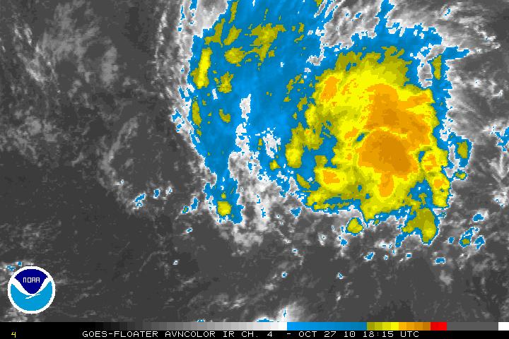
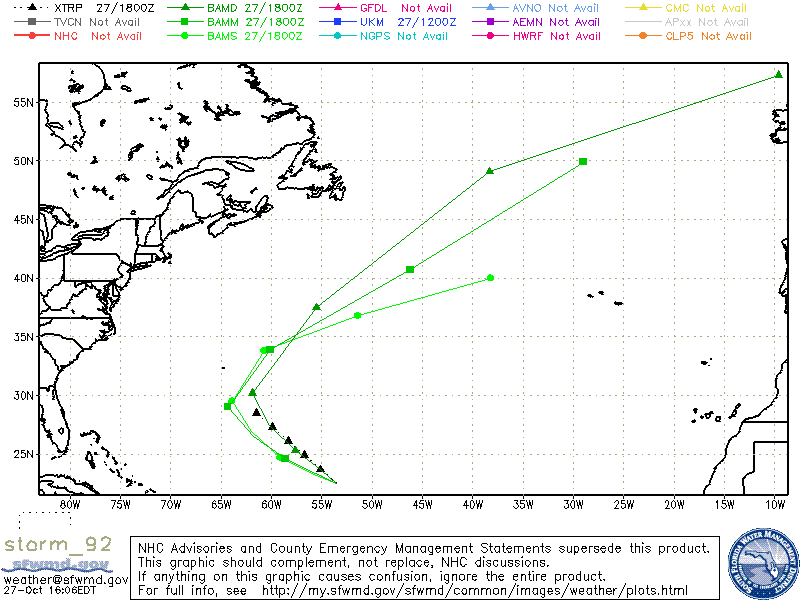
Invest 92L is located about 650 miles East – Northeast of the Northern Leeward Islands. 92L has the potential in the next few days to become a tropical or sub tropical storm. There is no threat to the US mainland as the system will be forced to head N then NE due to the long wave trough (the Super Storm that is located along the Eastern Coast of the US).
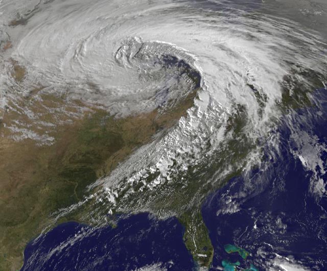
I am posting an GOES13 Satellite image from earlier today showing the large “Super Storm”.
