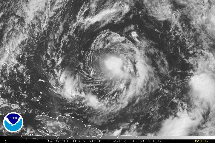
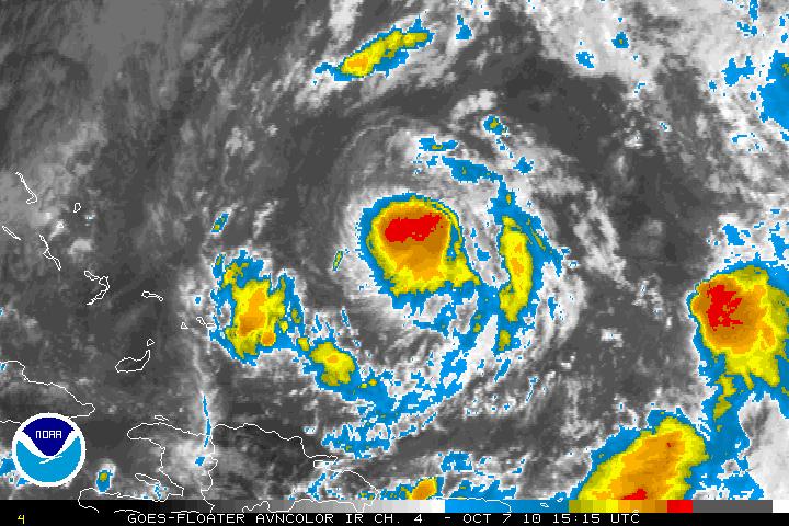
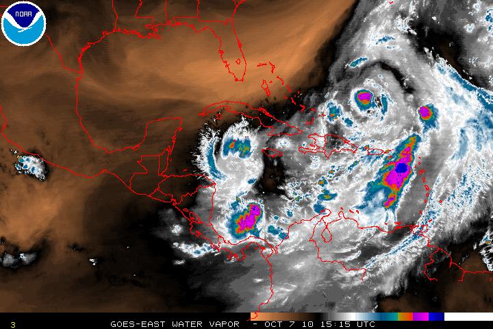
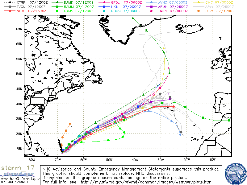
Sub Tropical Storm Otto finally made the transition to a tropical cyclone and as of the 11am advisory from the NHC Otto has been upgraded to Tropical Storm status. The warm core of Otto has moved up from the mid levels all the way to the upper levels. This will allow Otto to have a better chance to develop into a hurricane for the next day or two and help make a smaller inner core. Warm SST’s and vertical shear is forecast to be at 10 knots or less and Otto is forecast to attain hurricane status. After that forecast period, upper level winds will increase and Otto is forecast to merge with a frontal system. Otto is forecast to become post tropical/extra tropical in 96 hours. At the moment, Otto has been quasi-stationary for 6-8 hours but a slow drift to the NE is forecast. Once Otto has merged with the frontal system, Otto will be accelerated and track ENE and possibly affect those in the Azores Islands.


