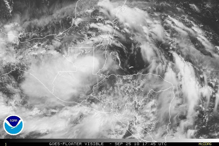
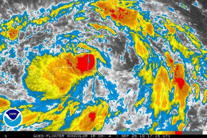
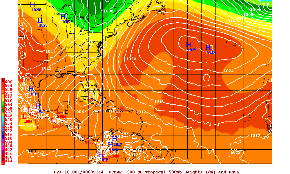
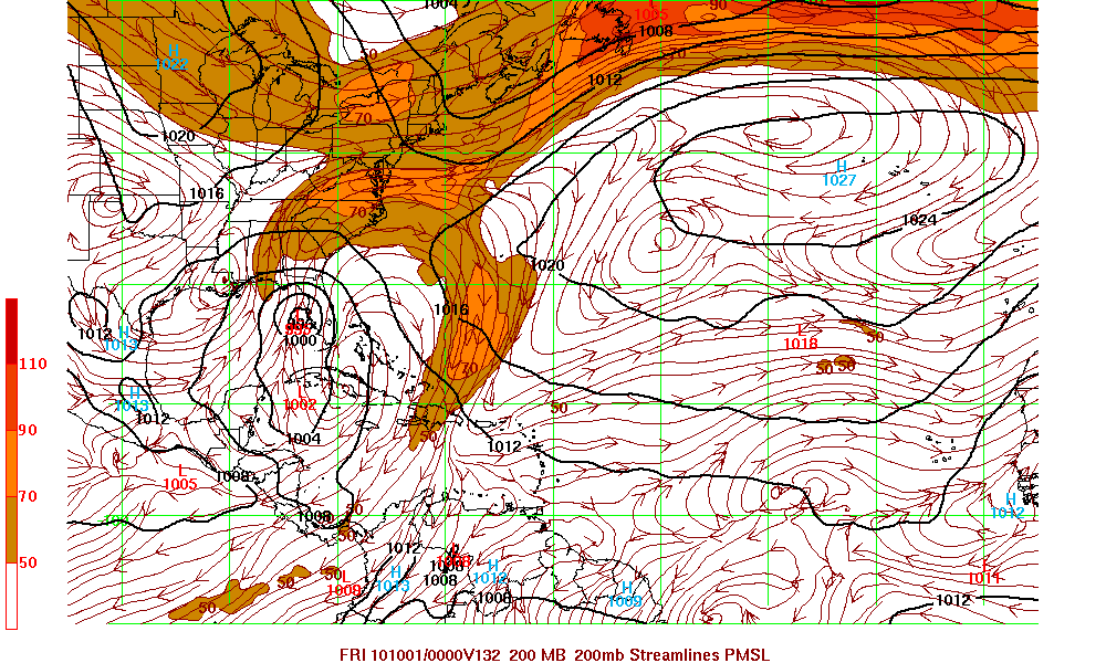
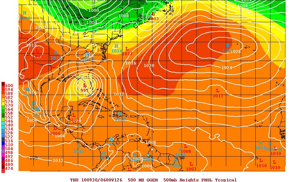
Tropical Storm Matthew which made landfall yesterday with 50mph winds has continued to trek W- WNW. As of the 2PM advisory, Matthew has been downgraded to a Tropical Depression. There is pretty much a consensus that Matthew will slow down and dissipate over Central America in the next two days. Copious amounts of rain has already made a bad situation worse in Honduras and it is expected to do the same in Belize, Guatemala and possibly Eastern Mexico. Although it is forecast for Matthew to dissipate, almost all the models are forecasting a new system to develop in the western Caribbean as the entire area is under the influence of a monsoonal low. If this forecast pans out, then there is the chance that the Gulf States, Florida, or the Eastern US may be impacted. These forecasts are very unpredictable at the moment as the fluid dynamics involved in the atmosphere are very complex. The few models below are for the next system (if any) and if named it would be Nicole.
Latest Satellite images of TD Matthew
