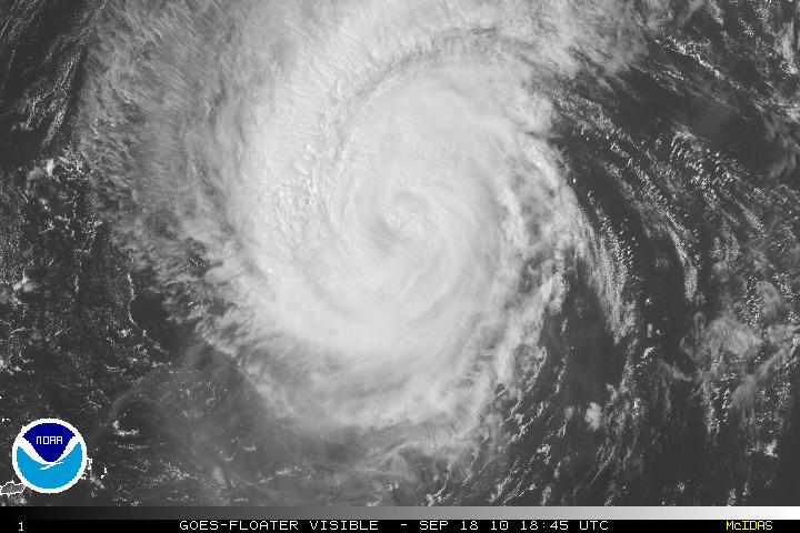
Hurricane Igor, now a category 2 storm is still a large and dangerous hurricane and the center is poised to either make landfall on the island of Bermuda or possibly just to the side of it. Conditions will start to deteriorate sometime tonight and there is the possibility that Igor may intensify and become a category 3 storm before landfall. Igor should start the transitional period of becoming extratropical in about 3 days
.

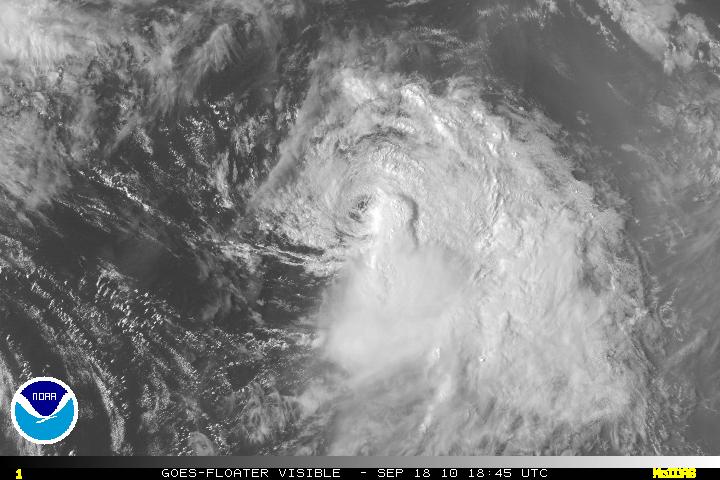
Tropical Storm Julia which has been assaulted for a day or two and now the strong northerly shear has displaced the deep convection and the low-level center is now exposed. Strong shear from the outflow from Hurricane Igor will to continue to weaken TS Julia and Julia should be a remnant low within 48-72 hours. Eventually, Julia will be absorbed by Hurricane Igor.

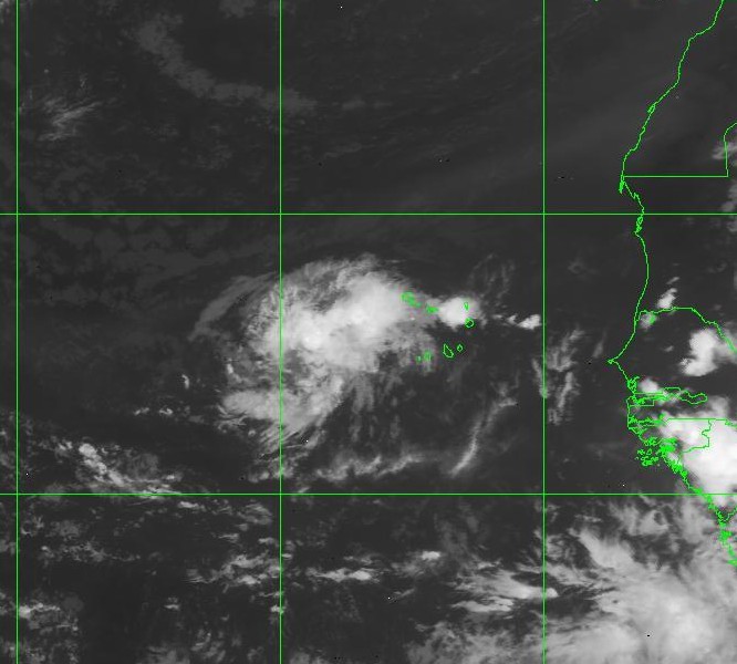
What was PGI45L has now been designated as Invest 94L. Environmental conditions are somewhat conducive for gradual development of Invest 94L. At least one model is forecasting that 94L will become a minimal tropical storm in about 5 days.

PGI46L has not developed in any way and there is the possibility it may dissipate. This is something that would still need to be monitored.
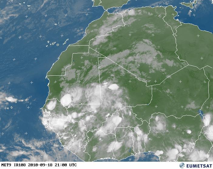
A new pre-invest system PGI47L that is still inland in Africa has some decent circulation but there is the chance that there might be dry air which might hinder development even though shear is forecast to be light. The very early forecast for PGI47L once it is in the Atlantic is to head WNW to NW and later NNW.
